 Hiking
 Login
Login More
More EN
EN Premium
Liefkensrode walk
automatic translation
5.2 km • Kortenaken
 official route
7560 1 4/5
route offered by
 Addresse starting point (approximate)
Sint-Amorkerk, Dorpsplein, 3470 Kortenaken
 signage
The route is signposted with thematic signs (no nodes). You can use a GPS device or our app to follow the route through the virtual nodes.
 Description
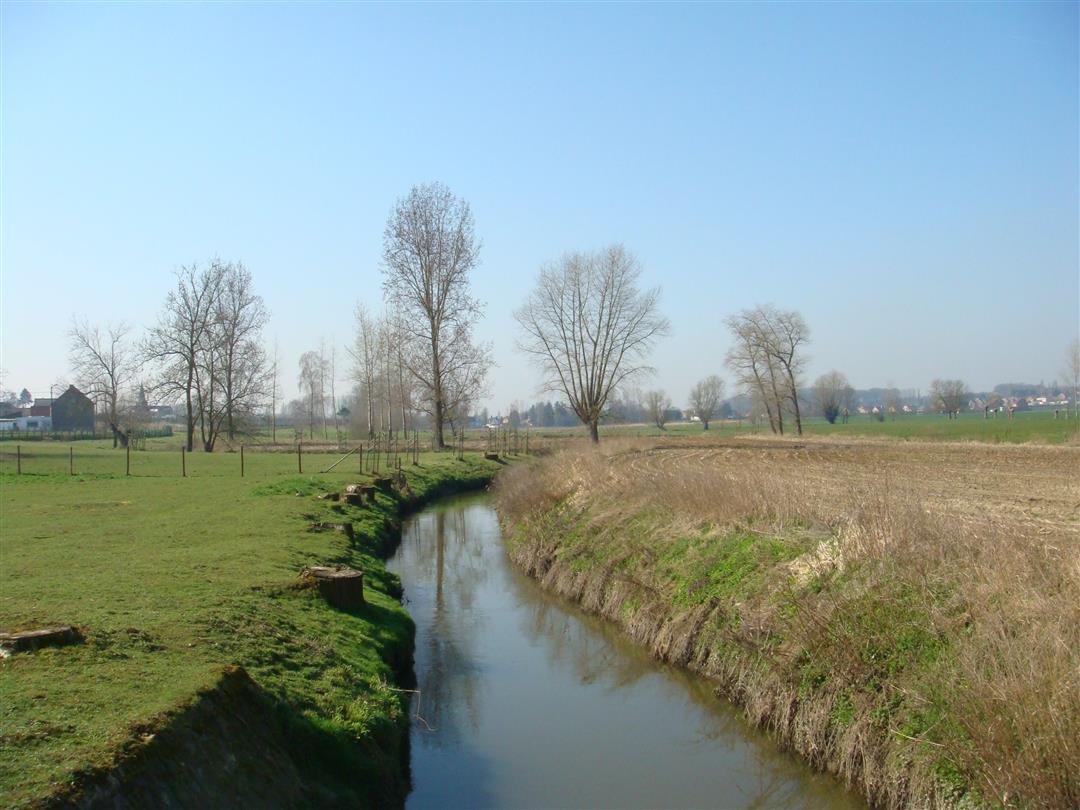
Get to know rural Kortenaken. You walk for a while along the banks of the Velpe and cross the Molenbos. On your way you'll pass beautiful square farmhouses, vast fields and long rows of fruit trees that blossom wonderfully in the spring.
NOTE: This is a hike on a virtual hiking network. The nodes are not signposted on the property. Follow the 6-sided red and white signs with the name of the hike.
This hike is offered by Tourism Flemish Brabant.
automatic translation
 nodes to follow
0 km
0.7 km
1 km
2 km
4.4 km
5.2 km
Sunday, March 12, 2023 by Ingrid BaeyensThis route is now signposted. Attention: after rainy weather the hike can be very muddy. Through the municipality of Kortenaken you can also get a brochure about this hike, with more information about the places of interest.
automatic translation


 Upgrade to Premium Plus
