 Hiking
 Login
Login
 More
More
 EN
EN
 Premium
Fuussekaul - Mëchelbaach
automatic translation
9.5 km • Esch-sur-Sûre
2.5980 0 0/5

 Addresse starting point (approximate)
Camping Fuussekaul, 9156 Heiderscheid, LU
 signage
The route is not signposted. Use a GPS device or our app to follow the route.
 Description
There are many hiking markers that should be ignored.
Departure is from the Fuussekaul campsite in Heiderscheid.
We walked the route counterclockwise, which means you first go through a small piece of forest, and then you enter a field path behind the De Reenert campsite. Via this path, you arrive at the N15, which you cross to follow a paved road.
Just before the path fully enters the forest, you turn left to go into the valley of a seasonal brook. This brook feeds several ponds before ending at a water treatment plant that you pass a bit later. The purified water then flows into the Méchelbaach.
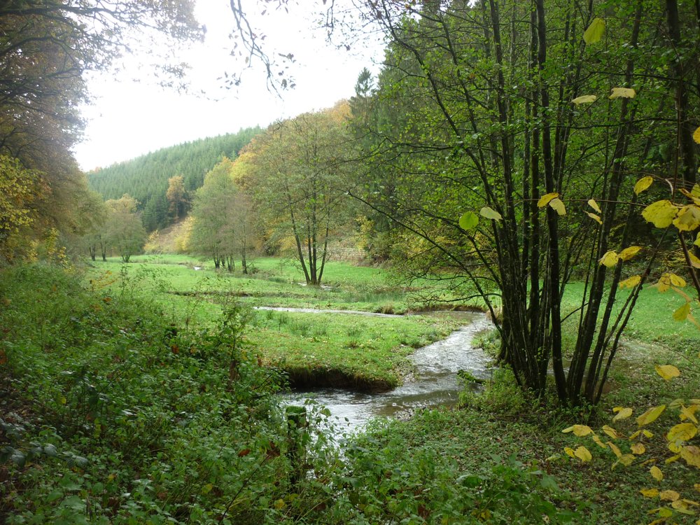
Once at the bottom, you turn left into the beautiful valley of the Méchelbaach. The valley is a magnificent piece of protected natural area. After 2.5 km, you go left up a steep path to return through the forest to the Fuussekaul campsite.
More photos: https://photos.app.goo.gl/BSeqZtTVsvSz4Ryk7
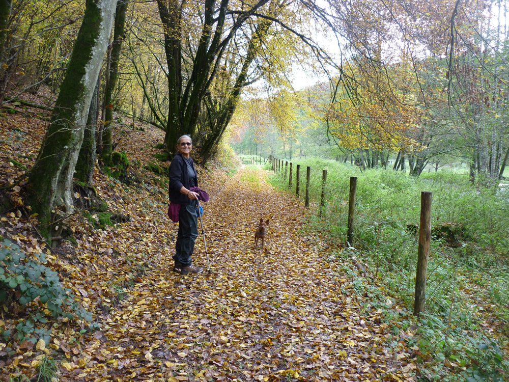
Happy hiking,
Eddy, Rita, and Prinske
automatic translation


 Upgrade to Premium Plus
