
 Hiking
 Login
Login
 More
More
 EN
EN
 Premium
Loop Mol-Ezaart-Bel
automatic translation
10.7 km • Mol
2.7783 1 4/5

 Addresse starting point (approximate)
Ezaart 106, 2400 Mol, BE
 signage
The route is partially signposted with nodes. Use a GPS device or our app to follow the route.

 Description
This route is partly "not" signposted!
You can park along the N103 in Ezaart. The walk begins with a short stretch along this road, after which you turn left into Klaverstraat.
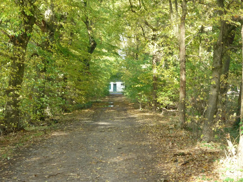
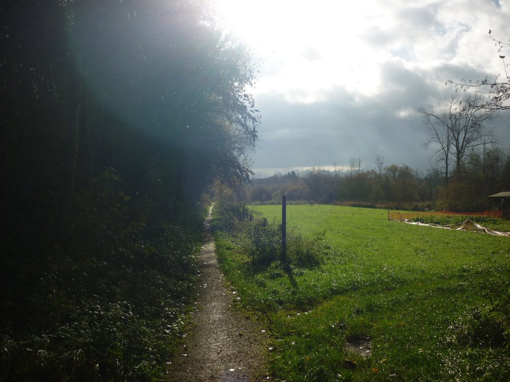
After 150 meters, you walk on an unpaved path through a beautiful landscape alternating between forests and fields. You arrive on Sint-Janstraat. Here, you turn right and cross the Ring further on, after which the surroundings become quieter.
Along the way, paved and unpaved paths alternate, and you walk through built-up areas and nature. After some time, you reach the Zuiderring again, which you follow to the Borgerhoutsendijk. There, you cross the Ring again.
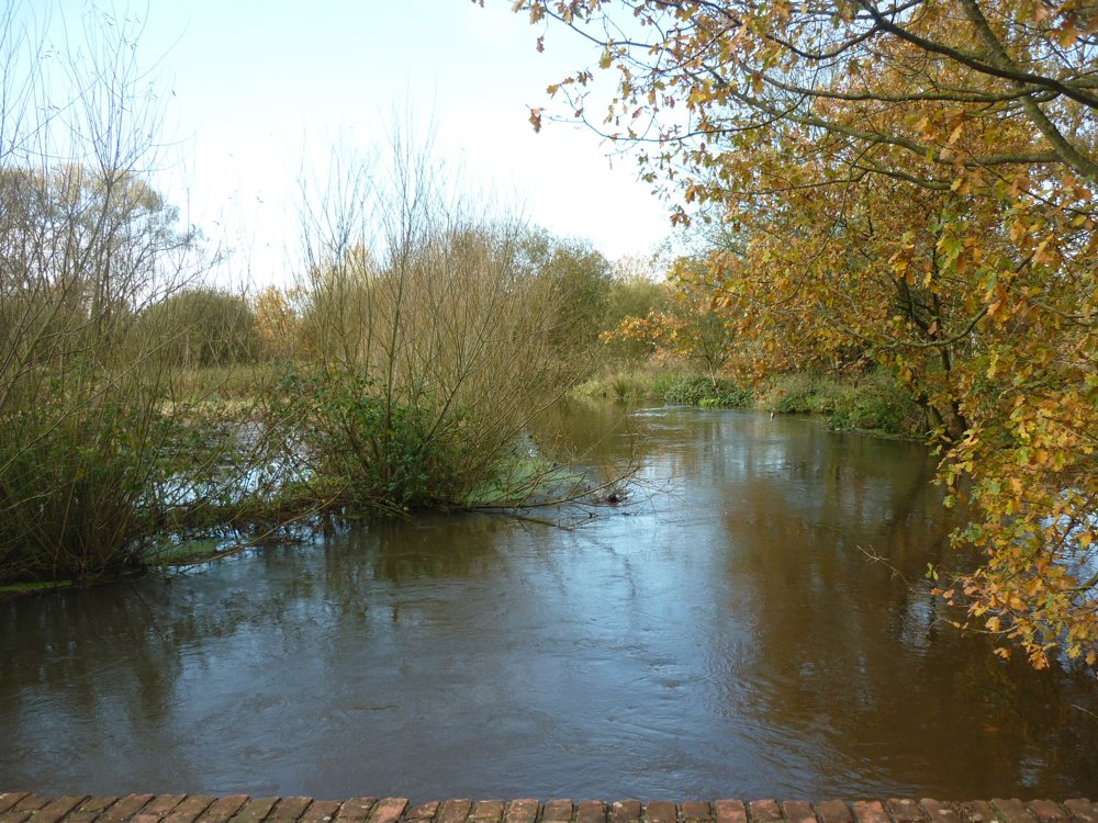
Follow Sint-Janstraat again to a path on the right. In dry weather, the path remains passable up to the small bridge over the Molse Nete. After the small bridge, the path may be flooded, but the endpoint is already nearby.
More photos: https://photos.app.goo.gl/VTU4jdqYKSAwdTr47
Happy hiking! 🚶♂️
Eddy, Rita, and Prinske
automatic translation
 nodes to follow
0 km

0.2 km
1.3 km
1.5 km
1.6 km
2.5 km
2.8 km
3.6 km
4.4 km
5.1 km
6.1 km
7.7 km
8.3 km
9.3 km
9.8 km
10.5 km

10.7 km



 Upgrade to Premium Plus


