 Hiking
 Login
Login
 More
More
 EN
EN
 Premium
Auto-pedestrian Baschleiden
automatic translation
8.4 km • Boulaide
1.0010 0 0/5

 Addresse starting point (approximate)
Rue Principale, L-9633 Boulaide, LU
 signage
The route is fully signposted with thematic signs (no nodes).


 Description
Markings in both directions: blue diamond on white.
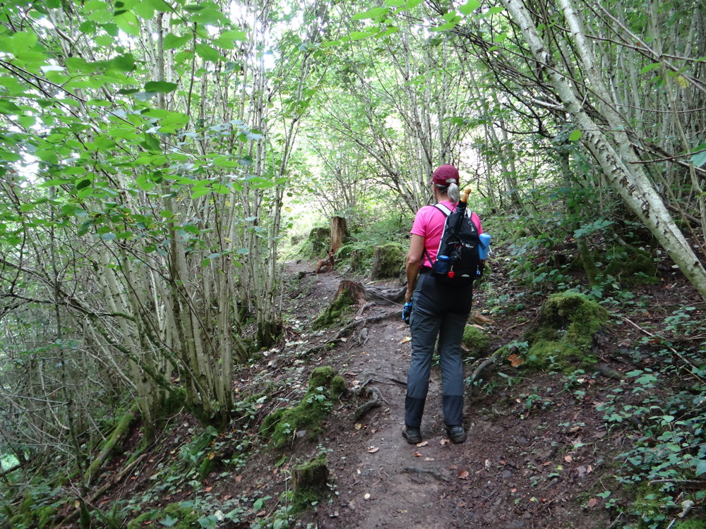
We walked the loop clockwise. Within 200 meters of the starting point, you pass through a small park by an apple tree where you can pick freely. The walk continues slightly to the right, into the picturesque valley of a stream. Where this stream converges with the Hämichterbaach, you follow the latter to Lac de la Haute Sûre.
Via a short climb, you reach the Kaaschterlach viewpoint, which offers a stunning view over the Sûre. The walk continues along the slopes of Lac de la Haute Sûre, offering magnificent views over the lake and the surrounding area, until it is time to complete the loop.
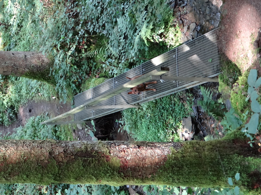
You do this through a beautiful forest, descending briefly into the valley of a small stream before beginning a steep climb to return to Baschleiden. The simple little church is definitely worth a visit!
More photos: https://photos.app.goo.gl/MYZuZMpn8Ss4Eatu6
Happy hiking,
Eddy, Rita & Prinske
automatic translation


 Upgrade to Premium Plus
