Loading...

Retie 14 km heathland and water-rich forest

automatic translation

13.9 km • Retie

1.7454 0 0/5

13.9 km 0.0 km 0.0 km

route offered by

Peter XX

Icon starting point Addresse starting point (approximate)

Geenend 14, 2470 Retie, BE

Icon type signage of route signage

The route is partially signposted with nodes. Use a GPS device or our app to follow the route.

5m 5m 5m 5m
Atmosphere image 1 of route Retie 14 km heathland and water-rich forest Atmosphere image 2 of route Retie 14 km heathland and water-rich forest Atmosphere image 3 of route Retie 14 km heathland and water-rich forest
© Peter D'hont

Icon description route Description

Departure from Parking sports park 't Vossekot Geenend 2, 2470 Retie

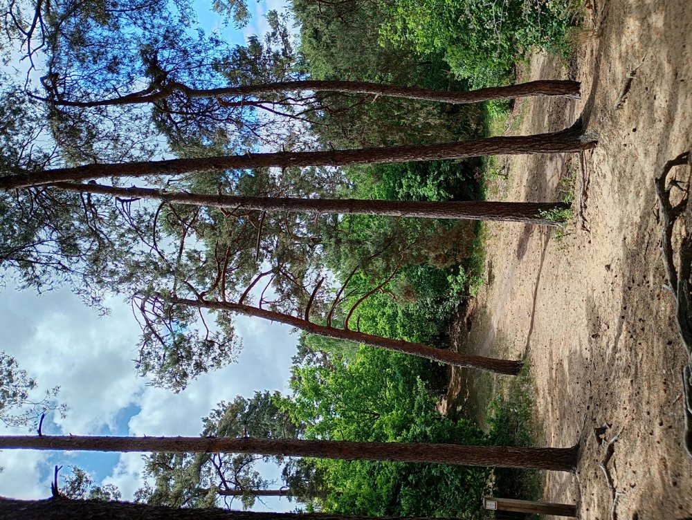
This hike is quite challenging because approximately 2/3 of the hike goes over sandy roads and heath paths.

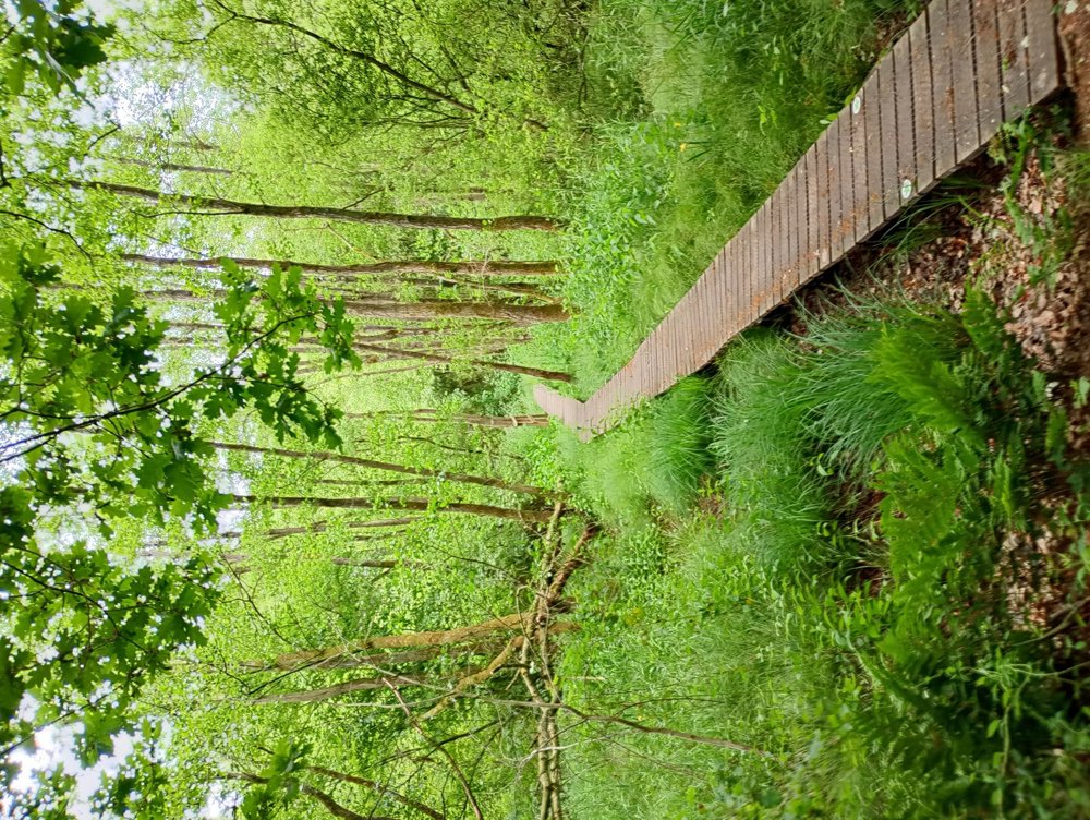
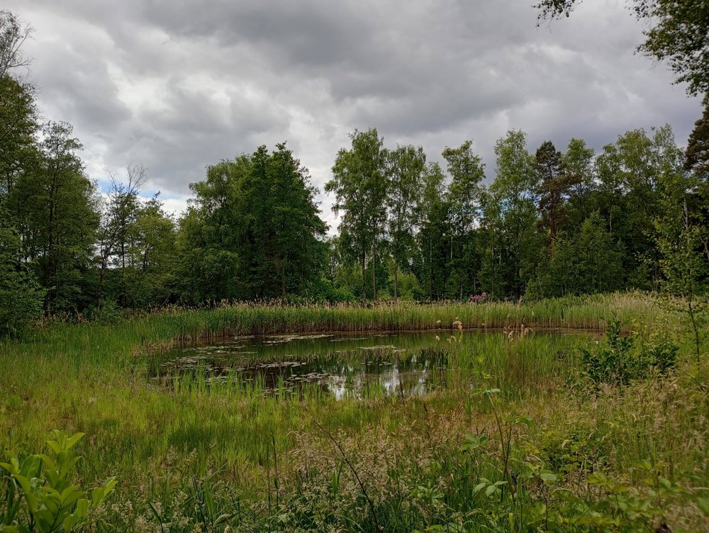
We depart and after 2 km enter a watery forest with a boardwalk of about 500 m. Also many ponds with loudly croaking and mating frogs in the spring.

Afterwards, a long stretch along meadows and fields, but the roads in between are sandy.

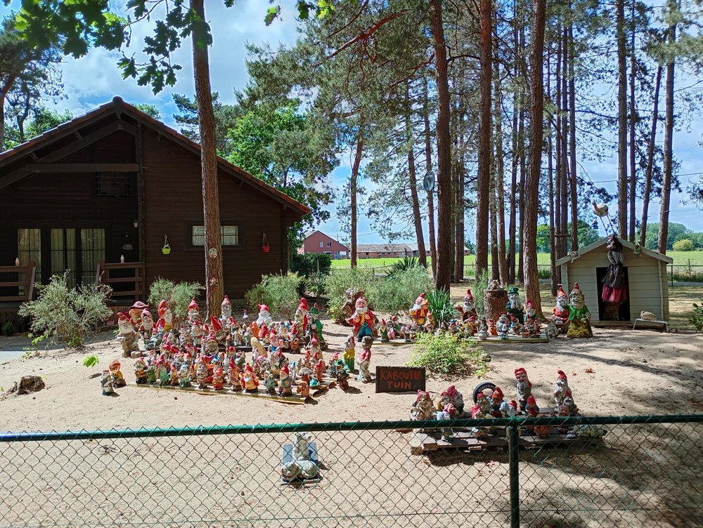
The next (heath) pine forest is a recreational area with weekend cottages.

Then back to the starting point.

automatic translation

Icon nodes to follow nodes to follow

Icon start route
0 km
Image node 140
0.2 km
Image node 138
1.6 km
Image node 40
2.4 km
Image node 41
3.5 km
Image node 43
3.9 km
Image node 94
4.3 km
Image node 136
4.6 km
Image node 93
6.2 km
Image node 95
7.5 km
Image node 98
8.3 km
Image node 2
9.2 km
Icon deviation route
9.6 km
Icon deviation route
10 km
Icon deviation route
10.1 km
Icon deviation route
10.7 km
Icon deviation route
12.4 km
Icon deviation route
13 km
Icon deviation route
13.4 km
Icon deviation route
13.8 km
Icon stop route
13.9 km
This route does not have any reviews yet. Be the first!
Rate route!

Which POI do you want to show on the map?

Experimental hiking network
Unsigned icon

The route you have chosen runs (partly) along an experimental virtual hiking node network (the blue-coloured nodes and sections on the map).

You must be logged in to plan routes here.

Experimental hiking network
Unsigned icon

The route you have chosen runs (partly) along an experimental virtual hiking node network (the blue-coloured nodes and sections on the map).

These routes are not controlled in the field. Before you start hiking here, take a minute to read what an experimental hiking node network is and what rules you should follow when hiking here.