 Hiking
 Login
Login
 More
More
 EN
EN
 Premium
Zilvermeer Mol - forest and heath
automatic translation
13.6 km • Mol
2.3644 1 5/5

 Addresse starting point (approximate)
Postelsesteenweg 71, 2400 Mol, BE
 signage
The route is not signposted. Use a GPS device or our app to follow the route.
 Description
Departure: parking Ecocentrum De Goren - Postelsesteenweg 71, 2400 Mol
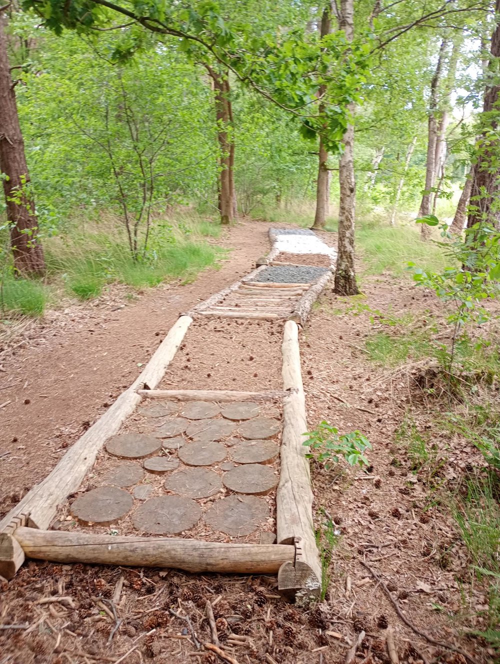
A walk where forests and heathlands keep alternating.
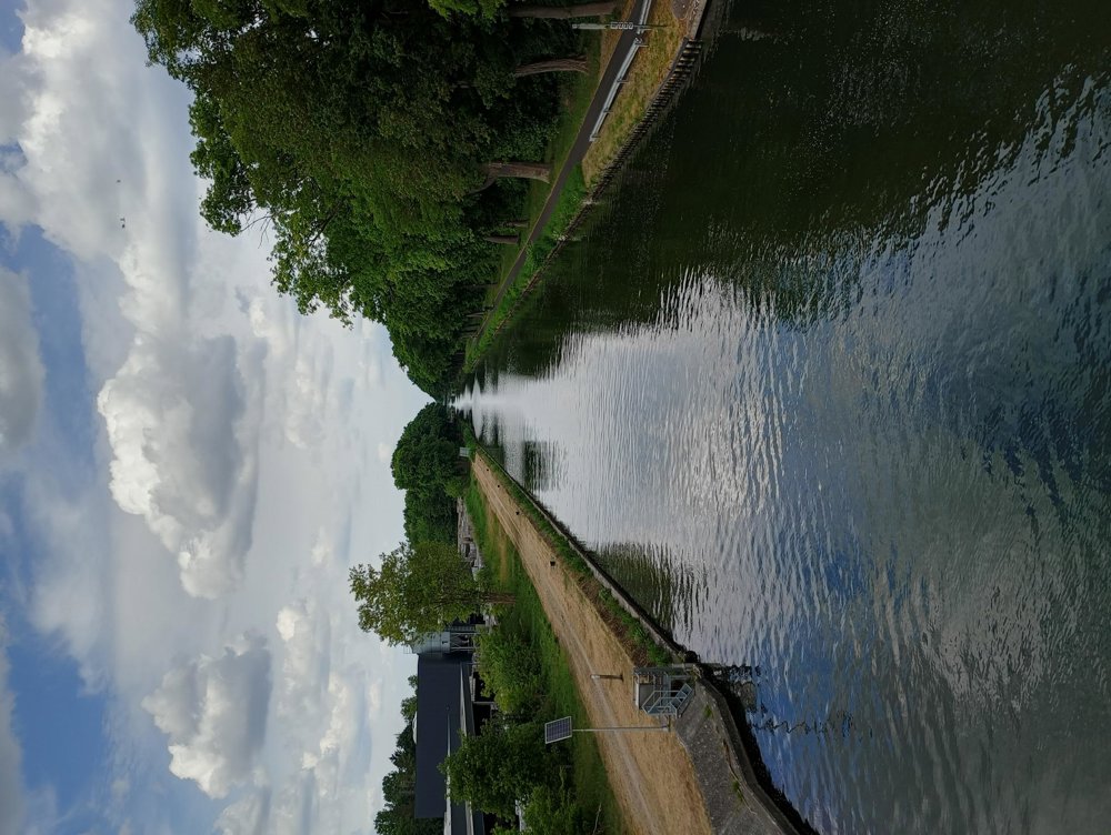
The first 2 km pass through the tourist part of Zilvermeer - the campsite and holiday houses in a beautiful and well-maintained park. After crossing the bridge over the canal via the busy Zuiderring, we truly enter a wooded, quiet area.
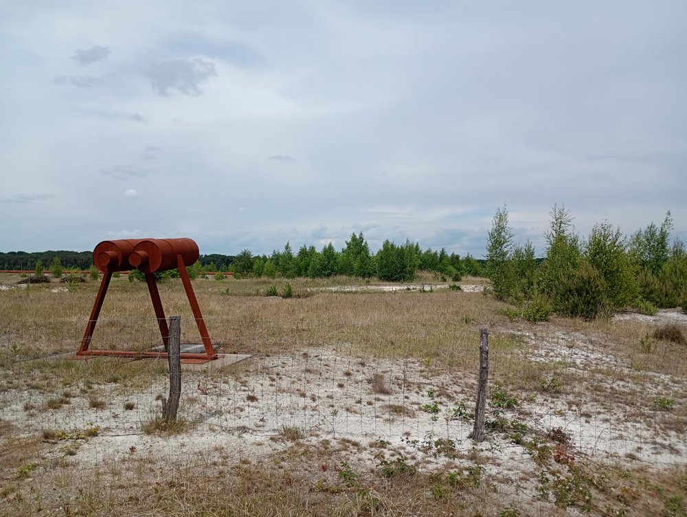
About 6 km further, the landscape changes completely and we walk over a heath-like area - the Schansheide.
Afterwards, we cross the canal again where a sanitary stop can be made at the pancake boat.
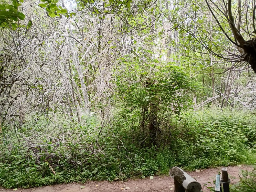
The forest we traverse afterwards is somewhat like a setting for a Halloween movie. In the months of May and June, many trees appear completely gray due to the webs of the ermine moth. Usually, the trees recover later in the year.
automatic translation
 nodes to follow
0 km

1.6 km
2 km
2.5 km
3.7 km
5.1 km
5.8 km
6.8 km
8.5 km
8.8 km
9.6 km
10.4 km
10.5 km
10.6 km
10.7 km
11 km
11.1 km
11.8 km
11.9 km
12.1 km
12.9 km
13.1 km
13.4 km
13.6 km


 Upgrade to Premium Plus
