 Hiking
 Login
Login
 More
More
 EN
EN
 Premium
La Roche-en-Ardenne and castle visit
automatic translation
7.6 km • La Roche-en-Ardenne
2.50610 1 4/5

 Addresse starting point (approximate)
Avenue de Villez 29, 6980 Cielle, BE
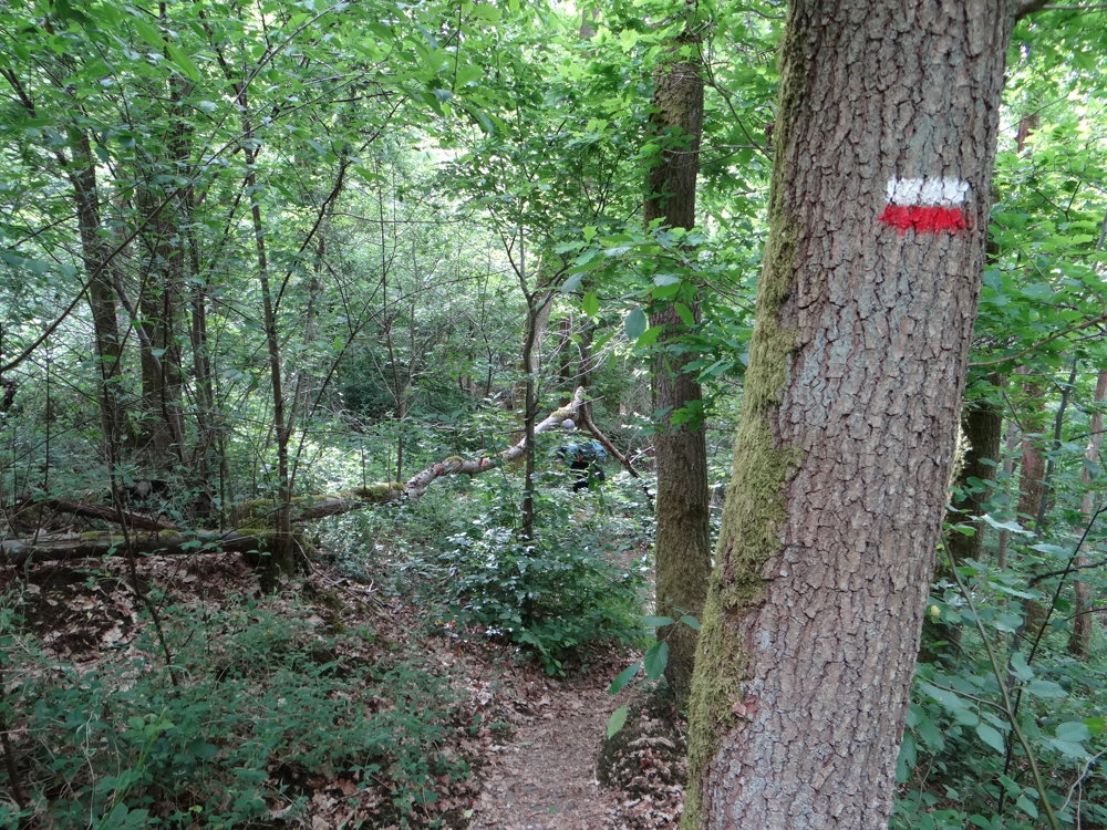
 signage
The route is not signposted. Use a GPS device or our app to follow the route through the virtual nodes.
 Description
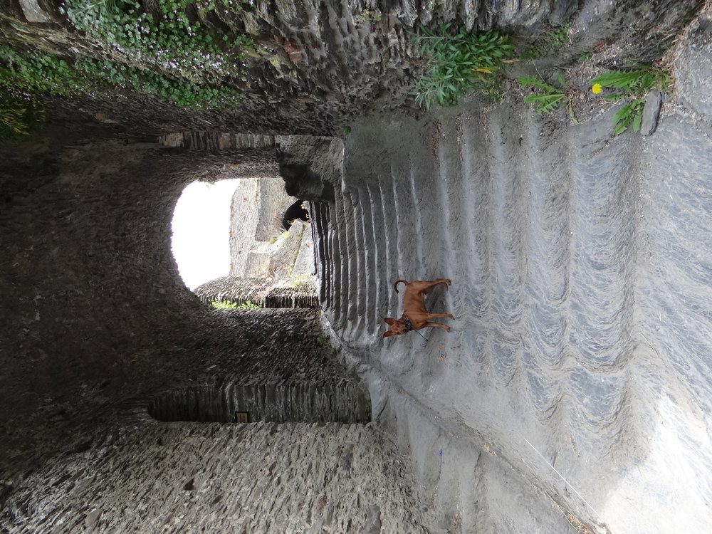
We did this walk and castle visit on 21/05/2025 (a total of 11,932 steps).
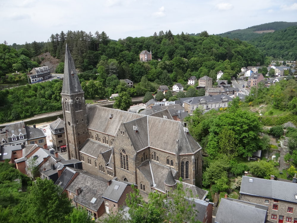
La Roche-en-Ardenne is a city on the banks of the Ourthe in the Belgian province of Luxembourg. There are many opportunities for sports: mountain biking, canoeing on the Ourthe, and paragliding. It is located in a forested area, inviting for hiking.
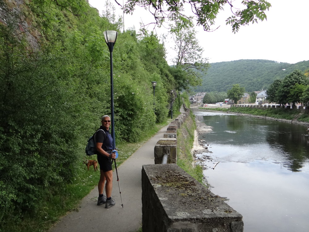
We opted for a small loop of just under 8 km and then visited the castle. The walk itself, with some steep climbs and descents, can be quite challenging. One follows mostly the GR 14, which runs along densely overgrown narrow paths.
Sturdy footwear and walking sticks are recommended. Dogs are allowed on the castle visit.
Attractions:
* the nature (forests, the Ourthe, etc.)
* the town
* the castle (fee-paying)
* the Saint-Nicolas church, which is open for viewing
* etc.
More photos: https://photos.app.goo.gl/HoQcxquvkDes1swi6
Happy hiking,
Eddy, Rita, and Prinske
automatic translation
 nodes to follow
0 km

0 km
0.1 km
0.3 km
0.3 km
0.4 km
0.5 km
1.1 km
2.8 km
3.4 km
5.5 km
5.6 km
6.2 km
7.3 km

7.6 km
Thursday, April 16, 2026 by Elke Van KelstI did this route yesterday, though I had to take a few detours: between checkpoints 789 and 464, the road is blocked due to construction, so it’s best to walk along Quai de l’Ourthe. From checkpoint 464, it’s best to follow Rue de la Gare until you reach the path on the left, which later rejoins the main route, since the first part of the route has become completely overgrown due to construction… Otherwise, it’s a beautiful route!
automatic translation
Sunday, April 19, 2026 by Eddy & RitaThank you for your comment. Enjoy your walks!
automatic translation


 Upgrade to Premium Plus
