
 Hiking
 Login
Login
 More
More
 EN
EN
 Premium
Boeslinterwandeling
9 km • Glabbeek
 official route
2.1193 1 1.5/5
route offered by

 Addresse starting point (approximate)
Parking Sint-Quirinusstraat, 3380 Bunsbeek (Glabbeek)
 signage
The route is signposted with thematic signs (no nodes). You can use a GPS device or our app to follow the route through the virtual nodes.
 Description
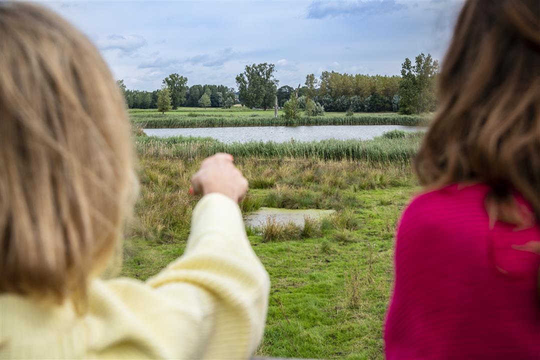
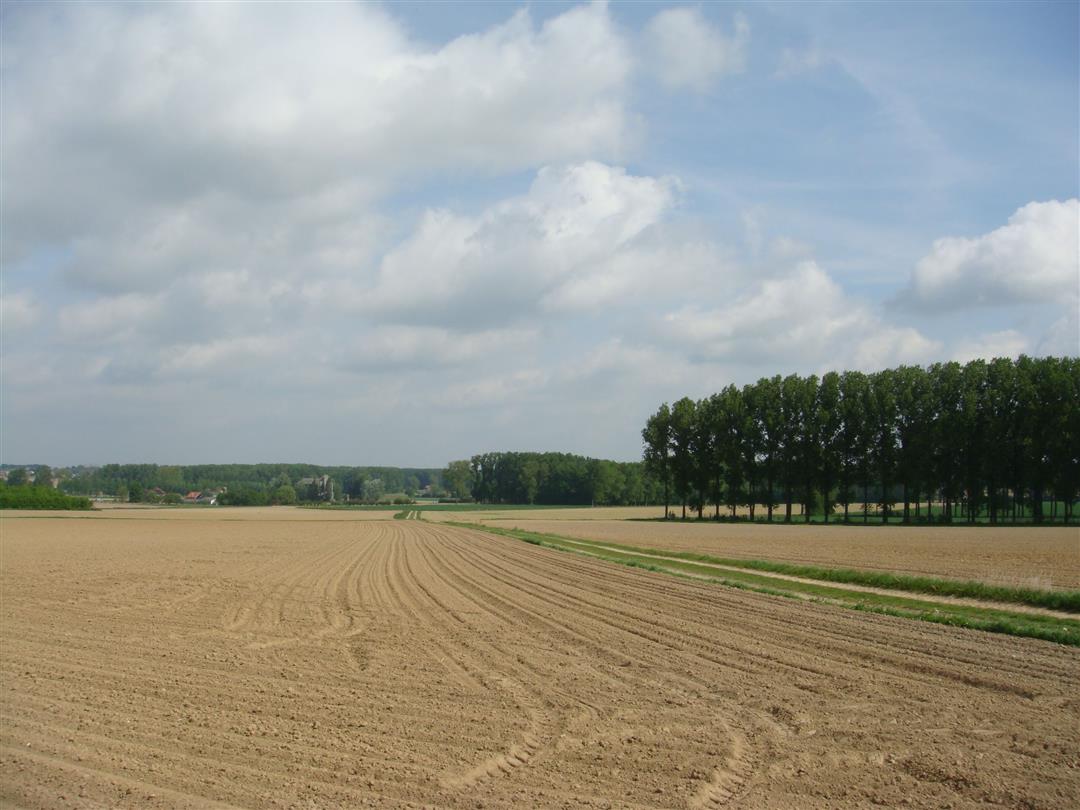
You’ll wander through the Velpe Valley, past vast fields and fruit orchards, where it can still be truly quiet. Beautiful in the fall, absolutely stunning in the spring when the fruit blossoms add a splash of color. You’ll climb the Schaffelberg, a hill in the Hageland region that towers 72.5 meters above the landscape. The view from there is breathtaking. The panorama from the observation tower in the De Paddepoel nature reserve is also not to be missed; from there, you’ll look out over meadows and flower-filled grasslands.
Before you set out:
This is a walk on a virtual hiking network. The junctions are not marked on the ground. Follow the hexagonal red-and-white signs bearing the name of the walk.
automatic translation
 nodes to follow
0 km
0.1 km
1.1 km
3.6 km
4.6 km
5.9 km
6.3 km
7.6 km
8.1 km
9 km



 Upgrade to Premium Plus


