 Hiking
 Login
Login More
More EN
EN Premium
Boeslinter Walk
automatic translation
9 km • Glabbeek
 official route
5961 1 1.5/5
route offered by
 Addresse starting point (approximate)
Parking Sint-Quirinusstraat, 3380 Bunsbeek (Glabbeek)
 signage
The route is signposted with thematic signs (no nodes). You can use a GPS device or our app to follow the route through the virtual nodes.
 Description
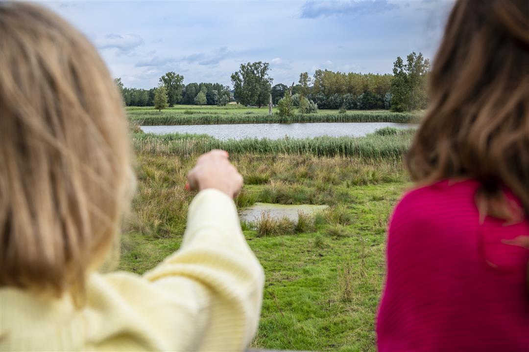
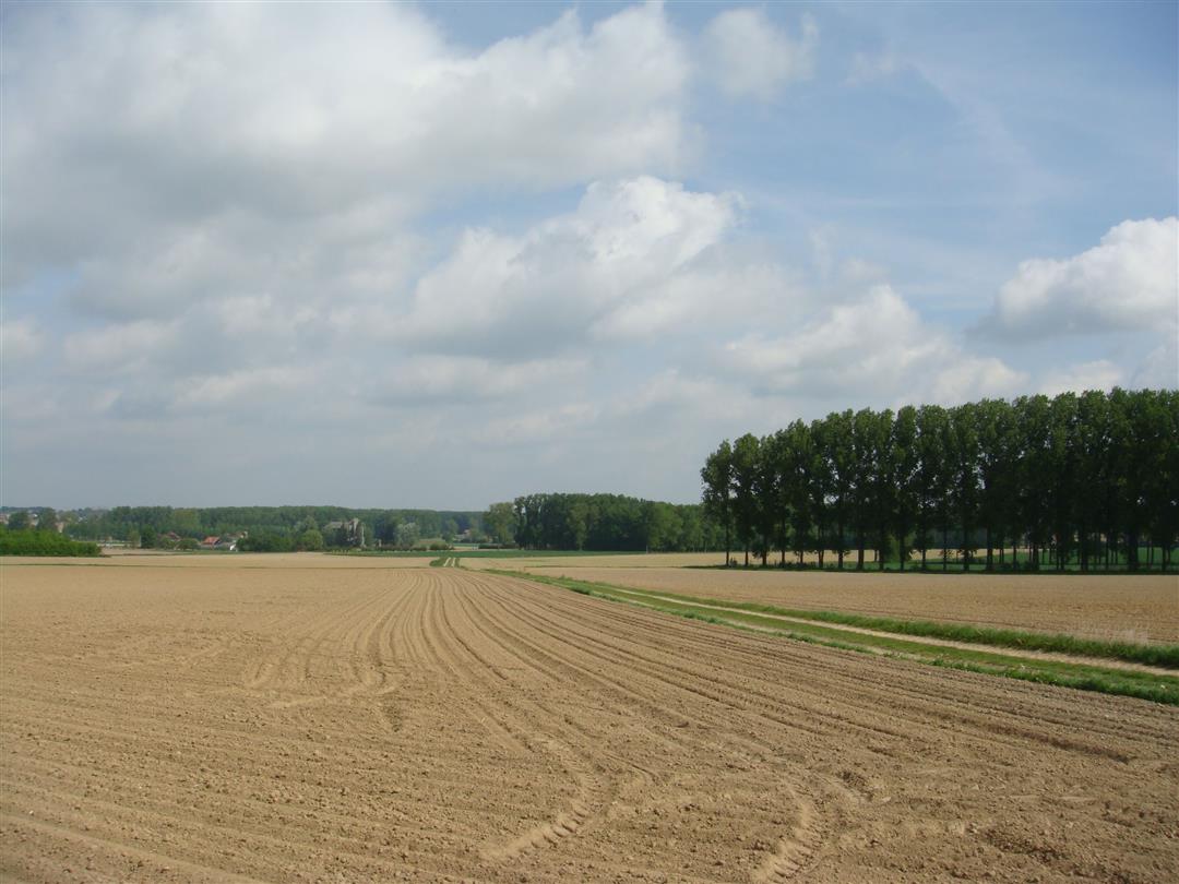
This hike takes you through the vast fields and fruit plantations of the Velpe Valley. Sense the scent of the blossoms in spring or the fruit in fall. From Schaffel Mountain, 72.5 m above sea level, the view is breathtaking.
NOTE: This is a hike on a virtual hiking network. The nodes are not signposted on the property. Follow the 6-sided red and white signs with the name of the hike.
This hike is offered by Tourism Flemish Brabant.
automatic translation
 nodes to follow
0 km
0.1 km
1.1 km
3.6 km
4.6 km
5.9 km
6.3 km
7.6 km
8.1 km
9 km


 Upgrade to Premium Plus
