 Hiking
 Login
Login
 More
More
 EN
EN
 Premium
B&B Level600 - loop to the lake of Bütgenbach
automatic translation
14.5 km • Büllingen
1.3572 0 0/5
14.5 km
0.0 km
0.0 km

 Addresse starting point (approximate)
Hünningen 175D, 4760 Hünningen, BE
 signage
The route is fully signposted with nodes.
© B&B Level600
 Description
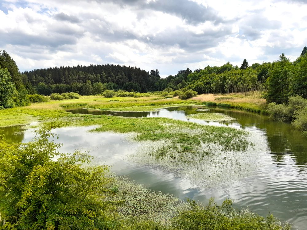
You follow the Warche from B&B Level600 to its mouth in the lake of Bütgenbach. The meandering riverbed provides photogenic moments in every season, with the highlight being the bridge at the point where the Warche flows into the lake.
Then your route takes you to the heights of Wirtzfeld to return after a final forest climb to Hünningen.
automatic translation


 Upgrade to Premium Plus
