 Hiking
 Login
Login
 More
More
 EN
EN
 Premium
B&B Level600 - beaches, streams and creeks
automatic translation
11 km • Bütgenbach
1.2052 0 0/5
11 km
0.0 km
0.0 km

 Addresse starting point (approximate)
An der Lei 1, 4750 Berg, BE
 signage
The route is fully signposted with nodes.
© B&B Level600
 Description
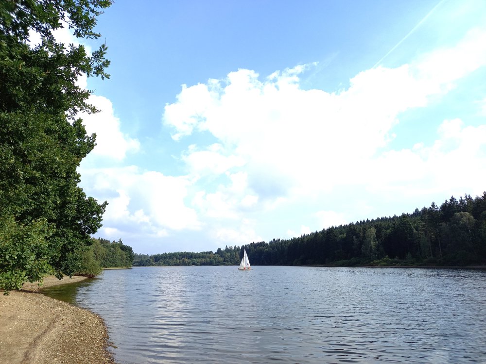
Our unique Hiker's DROP OFF service takes you to the dam wall of Lake Bütgenbach, from where you walk back to the B&B.
You walk along the north side of the lake, which is an advantage: in good weather, you have the sun on your face the whole time! Lake Bütgenbach is also one of the few reservoirs where you can get close to the water. A bench, some sunbathing on a small beach, ... Enjoy! Those who want to swim head to the designated swimming area at Worriken.
automatic translation


 Upgrade to Premium Plus
