 Hiking
 Login
Login
 More
More
 EN
EN
 Premium
MTB route, without bike
automatic translation
10.7 km • Larochette
2.0712 0 0/5

 Addresse starting point (approximate)
Chemin Jean-Antoine Zinnen, 7627 Ernzen, LU
 signage
The route is not signposted. Use a GPS device or our app to follow the route.
 Description
We did this walk on 05/14/2025 (14,532 steps).
For the route, we used the MTB route Larochette, which is 26.5 km long. We slightly adjusted the southern loop and turned it into a nice loop of 10.8 km.
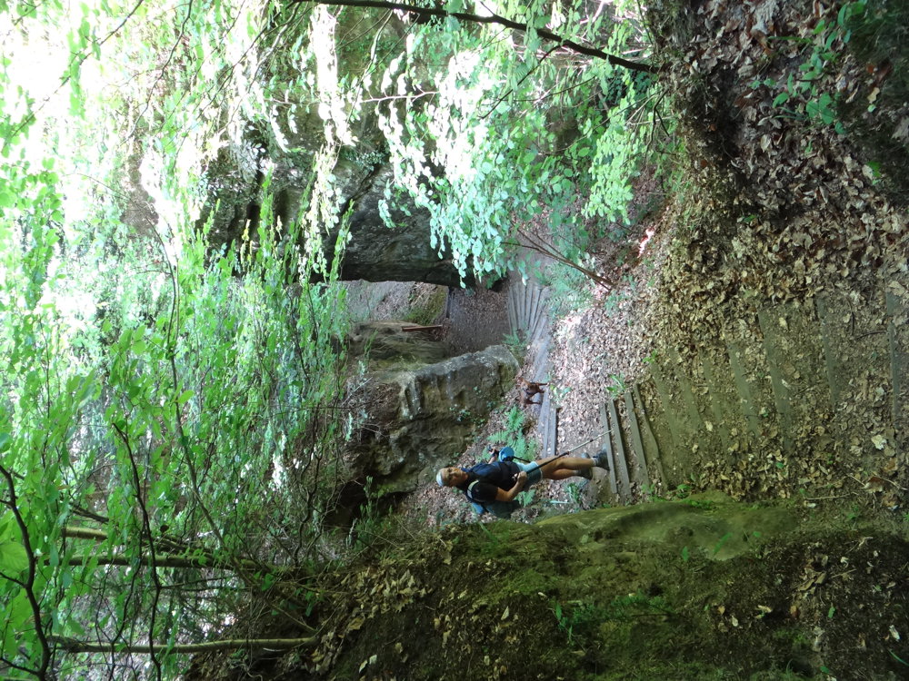
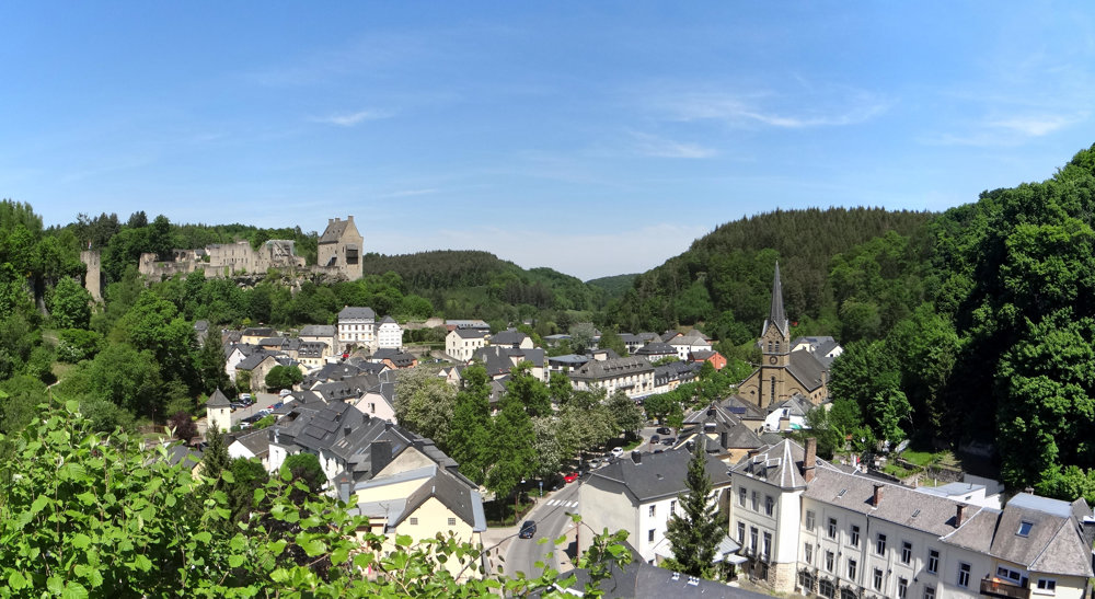
The start and end of the route can be quite challenging due to the climbing and descending via stairs (different from the MTB route). The rest of the walk has no significant height differences. You stay throughout the entire journey in the beautiful forests south of Larochette. So, an ideal summer walk.
Sights are:
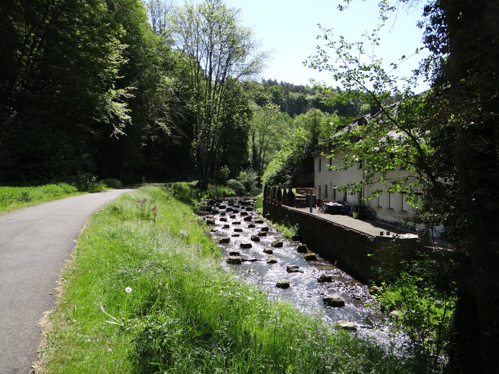
* the beautiful nature
* the castle of Larochette, which is definitely worth a visit
* at the beginning and at the end of the route, viewpoints on the castle and the town
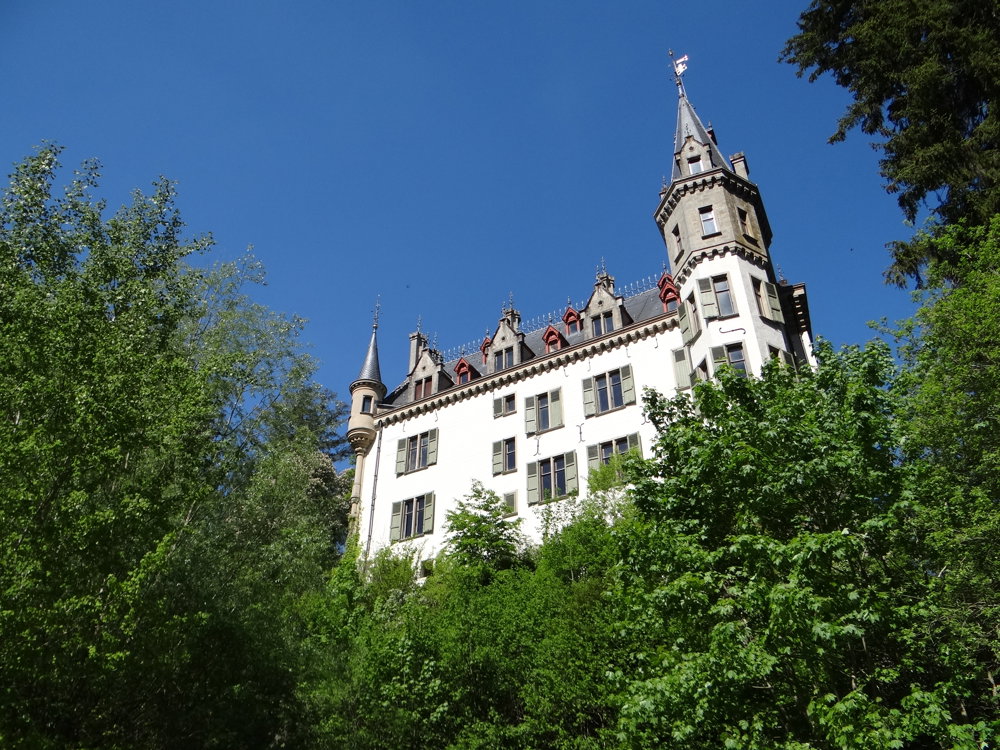
* the castle of Meysembourg (private property, cannot be visited)
* the valley of the Manzebaach
* rock formations
* etc.
More photos: https://photos.app.goo.gl/WoSgKy62dfF6fHAt9
Happy hiking,
Eddy, Rita, and Prinske
automatic translation


 Upgrade to Premium Plus
