 Hiking
 Login
Login
 More
More
 EN
EN
 Premium
Through the valley of the Irbich
automatic translation
8.6 km • Clervaux
2.1600 0 0/5

 Addresse starting point (approximate)
Frummeschgaass 1, 9766 Clervaux, LU
 signage
The route is fully signposted with thematic signs (no nodes).
 Description
We did this challenging hike on 05/10/2025 (12,091 steps).
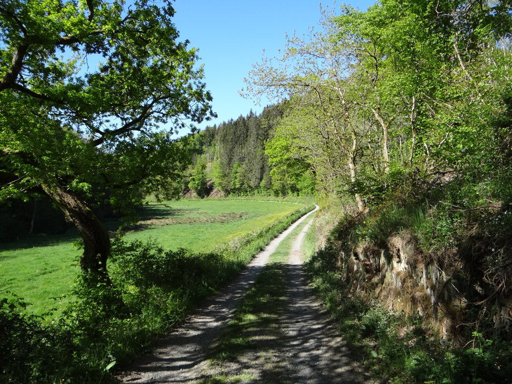
You can also take the train (free of charge) to Drauffelt to start the route there. This route is an auto-pédestre well marked in both directions with a blue diamond on a white background.
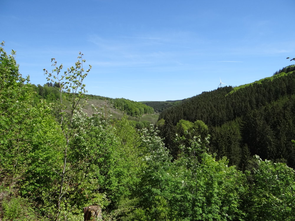
From the village center, the route leads to the idyllic valley of the Irbich. It starts in the center of the village and goes directly into the valley of the Irbich, almost up to the village of Drauffelt. From here, it returns to the Irbich valley. The trail follows this to the so-called Schofsbréck, the sheep bridge. Here you cross the brook and slowly return to your starting point.
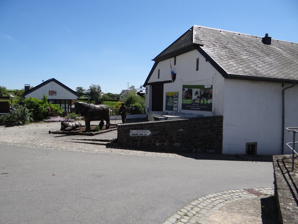
By the way, Munshausen is a particularly old village. It was first mentioned in 839 as Muniheistati and thus has an interesting historical heritage. Worth seeing is the parish church, where the counts of Clervaux were also buried.
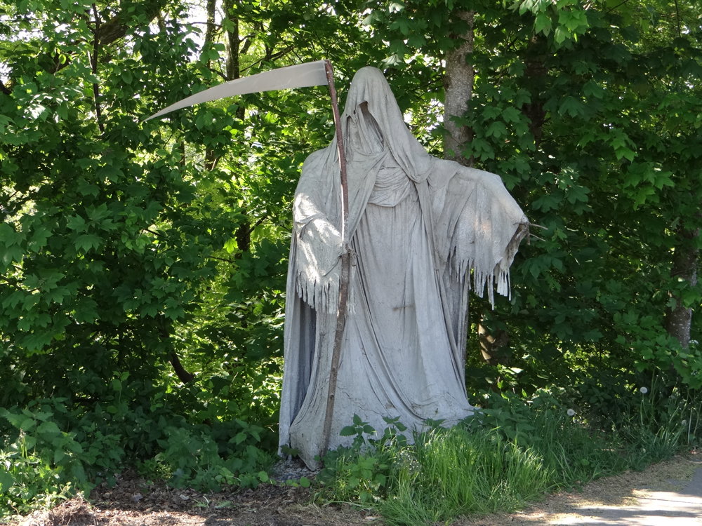
More photos: https://photos.app.goo.gl/7KXzgcWETNjvhx4c7
Happy hiking,
Eddy, Rita and Prinske
automatic translation


 Upgrade to Premium Plus
