 Hiking
 Login
Login
 More
More
 EN
EN
 Premium
Munte (Merelbeke) Makegem Forests
automatic translation
13.6 km • Merelbeke-Melle
5.01015 6 4.5/5

 Addresse starting point (approximate)
Munteplein 7, 9820 Merelbeke, BE
 signage
The route is not signposted. Use a GPS device or our app to follow the route.
 Description
Departure: Saint Boniface Church - Munte Square - Munte
In this quaint little church lie the relics of Saint Apollonia, the patron saint against toothache. There is also a small exhibition about Marc Sleen, with clay figurines of the comic characters and many clay waffles. Marc Sleen's brother was the pastor here, hence.
Additionally, there are about twenty miniatures of the old, vanished cafés of the village. In 2026, I visited the church again, and almost all the miniatures and clay waffles were gone or stolen. A pity.
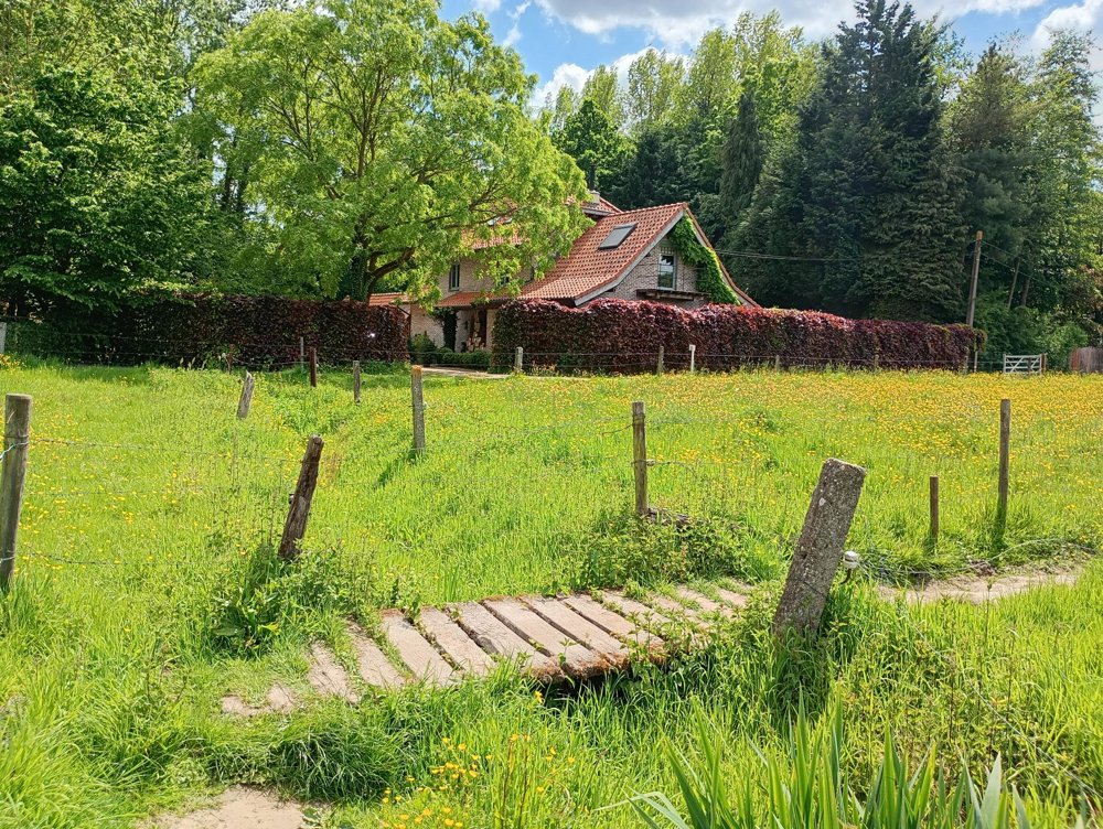
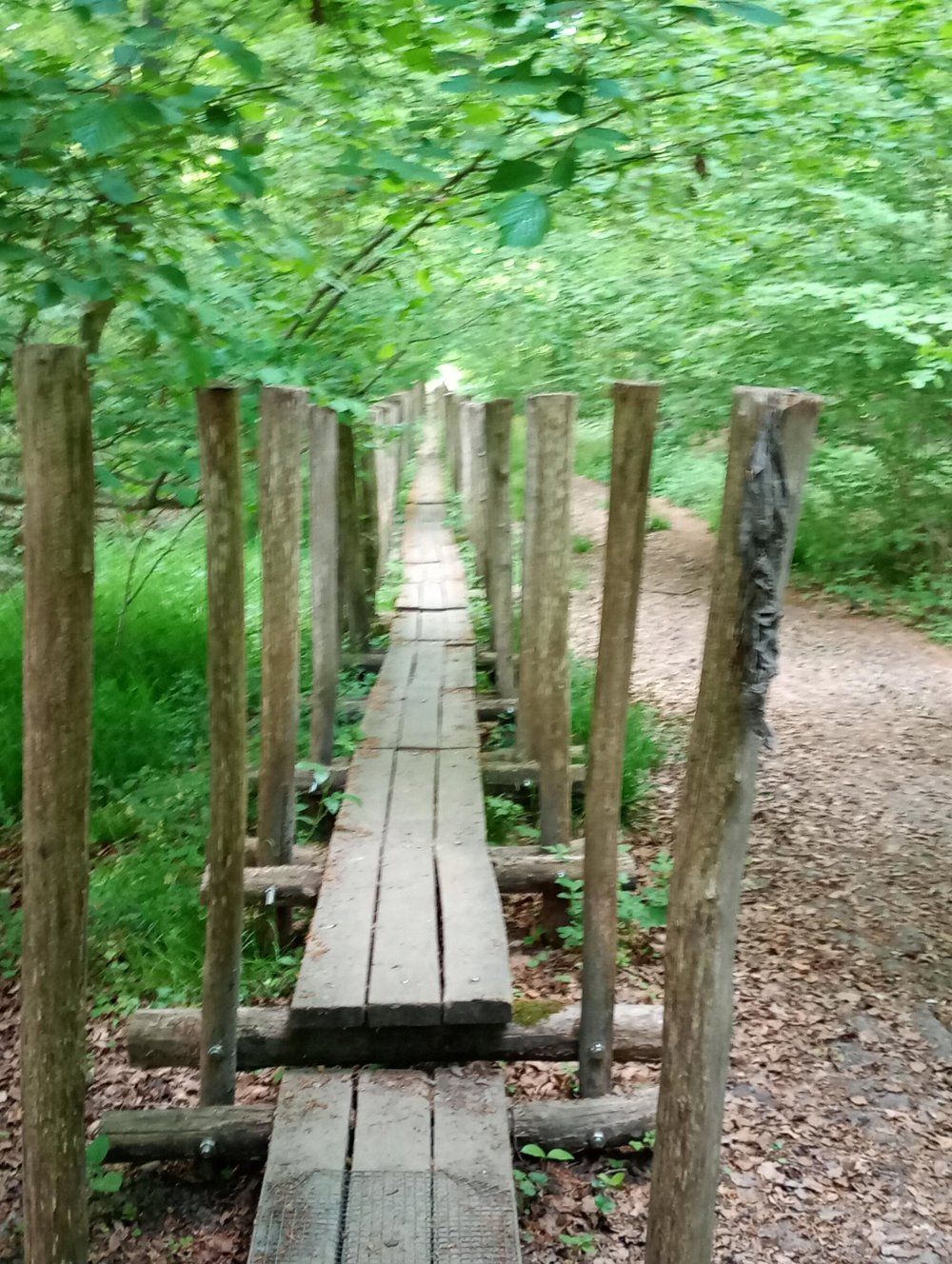
The walk itself starts towards the woods. A quiet environment with many boardwalks - I suppose it is very marshy during a wet rainy season. The Marcel van Miegroet Avenue is one long boardwalk. Then onwards to the Nerenbos and the Gentbos.
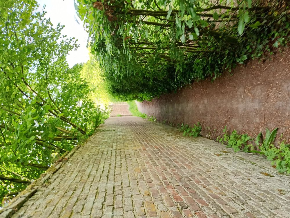
Afterwards, back through the fields via the small but cozy village center of Bottelare.
automatic translation
Sunday, April 19, 2026 by Joke Van Den OuwelandA really nice walk!
automatic translation
Sunday, March 29, 2026 by Veva DacquinA really lovely walk; I hadn’t known the villages of Bottelaere and Munte before, so I was pleasantly surprised by this hike. It was a bit muddy in the woods (it had rained a bit over the last few days), but not a problem with the right footwear.
automatic translation
Friday, March 6, 2026 by Niki De kegelVery nice route, lots of variety, small paths, and even some boardwalks. Highly recommended!
automatic translation
Sunday, October 12, 2025 by Petrus Van Schaikvery nice hiking route just stop in Bottelare in "t ketske" cafe like you can't find anywhere. we did with a small hiking and events group.
automatic translation
Tuesday, July 1, 2025 by Jackie PetersThe Makegem woods are beautiful for hiking
automatic translation
Monday, June 9, 2025 by Sandra De wolfBeautiful varied hike. Forests and fields. Often along slow roads. We were surprised by the rural character and the authentic villages of Munte and Bottelare.
automatic translation


 Upgrade to Premium Plus
