 Hiking
 Login
Login
 More
More
 EN
EN
 Premium
Bettel: a natural gem
automatic translation
8.7 km • Tandel
1.6410 0 0/5

 Addresse starting point (approximate)
Kierchestrooss 18, 9454 Tandel, LU
 signage
The route is fully signposted with thematic signs (no nodes).
 Description
We did this beautiful walk on 05/07/2025 (11,734 steps).
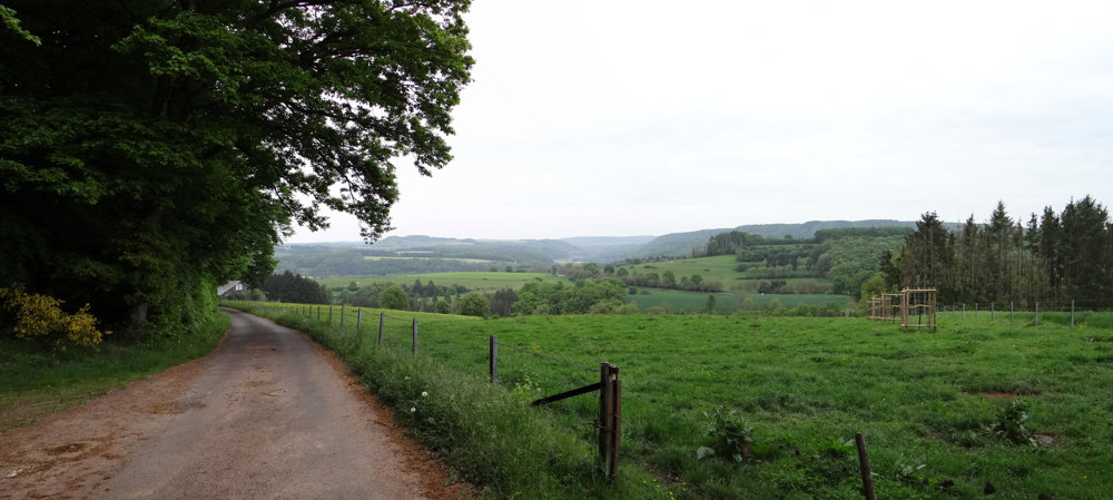
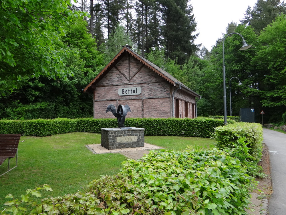
This is one of the many auto-pédestres Luxembourg has to offer. The route is very well signposted in both directions with a blue diamond on a white background. Usually, it starts in Bettel at the former station located on the PC 3, once a railway, now a bike path. There is only one parking space. We parked in the spacious car park on Kerkstraat in Fouhren, from where you first ascend a bit, then descend into the Our valley, and climb back from Bettel to Fouhren.
We have hiked and posted more than 300 walks in various locations in Luxembourg on Wandelknooppunt (see our account). After each walk, we say it can't get any better. With the next walk, we have to revise that again. Then another gem like this one appears. The Grand Duchy of Luxembourg keeps surprising!
More photos: https://photos.app.goo.gl/iV9U3rEy9AAav6du8
Happy hiking!
automatic translation


 Upgrade to Premium Plus
