 Hiking
 Login
Login More
More EN
EN Premium
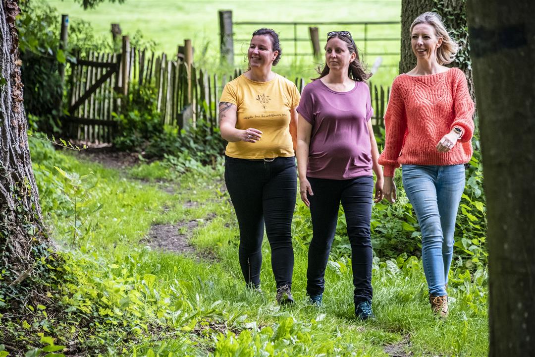
Glaze Walk
automatic translation
9.4 km • Glabbeek
 official route
5681 3 2.2/5
route offered by
 Addresse starting point (approximate)
Gemeentelijke sporthal Ter Linde, Tiensesteenweg 196 A, 3380 Glabbeek
 signage
The route is signposted with thematic signs (no nodes). You can use a GPS device or our app to follow the route through the virtual nodes.
 Description
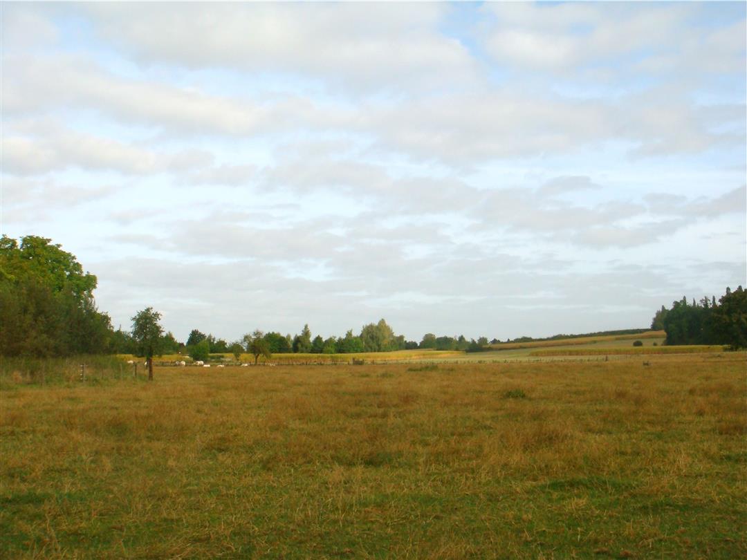
Walk between Glabbeek and Zuurbemde past beautiful valleys, forests, vistas and a protected village site. Admire Castle de la Coste, a farmhouse converted into a neoclassical castle. Sense the fragrance of the many fruit trees that are ubiquitous in the community.
NOTE: This is a hike on a virtual hiking network. The nodes are not signposted on the property. Follow the 6-sided red and white signs with the name of the hike.
This hike is offered by Tourism Flemish Brabant.
automatic translation
 nodes to follow
0 km
0.1 km
0.7 km
1.6 km
2 km
3 km
3.9 km
4.2 km
7.1 km
7.7 km
8.6 km
9.3 km
Friday, February 19, 2021 by M.V.Not recommended
automatic translation
Sunday, November 29, 2020 by Sarah GlazemaekersWell marked. Much paved, but beautiful views. We picked up a piece of 'birth forest', to get an even better sense of nature. Nice hike!
automatic translation
Friday, November 13, 2020 by Marc PrinsenThe hike is well marked, to start on a positive note. Unfortunately, the trail runs almost entirely on unattractive paved roads along meadows and fields with hardly any variation. Not worth repeating.
automatic translation


 Upgrade to Premium Plus
