Loading...

Ninove - from Denderwindeke to Neigem Castle

automatic translation

10.2 km • Ninove

1.9465 0 0/5

10.2 km 0.0 km 0.0 km

route offered by

Peter D'hont

Icon starting point Addresse starting point (approximate)

Edingsesteenweg 353, 9400 Denderwindeke, BE

Icon type signage of route signage

The route is not signposted. Use a GPS device or our app to follow the route.

5m 5m 5m 5m
Atmosphere image 1 of route Ninove - from Denderwindeke to Neigem Castle Atmosphere image 2 of route Ninove - from Denderwindeke to Neigem Castle Atmosphere image 3 of route Ninove - from Denderwindeke to Neigem Castle
© Peter D'hont

Icon description route Description

Departure: Sint-Pieterskerk, Edingsesteenweg 347 - Ninove

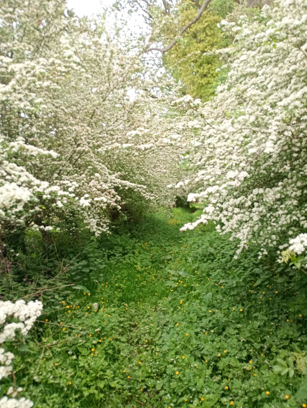
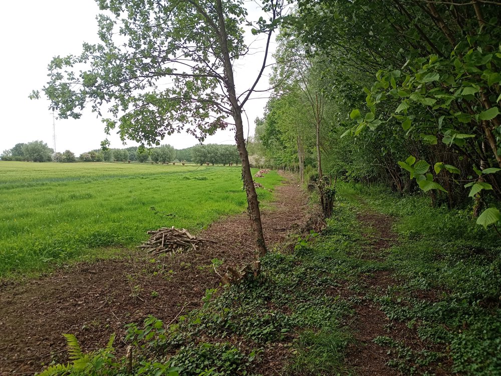
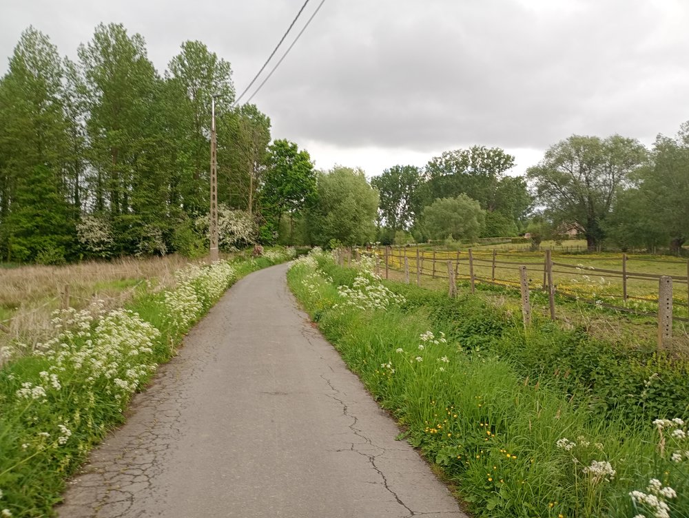
We walk through fields and local roads in the region of the Lavondelbeek. About half of the walk is unpaved. The unpaved roads are well hidden, sometimes plowed, very narrow (50 cm), and it is recommended to use the app to avoid passing by unnoticed.

Thus, in some places, one can speak of a silent walk, where only the birds are heard.

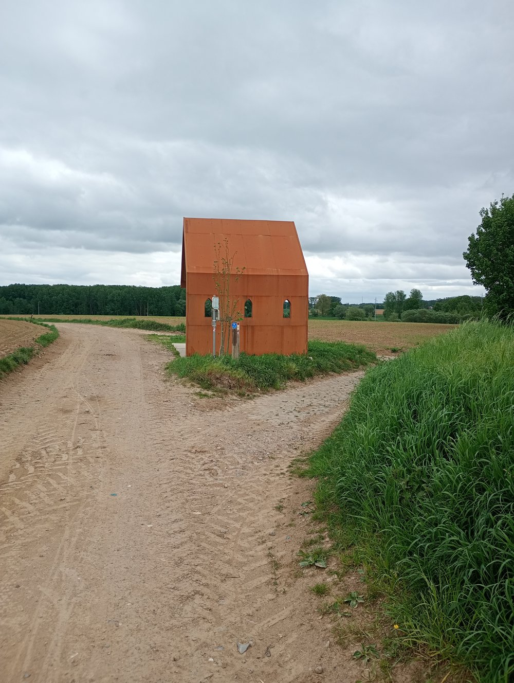
The chapel in the photo is the Beddenpisser Chapel. The original chapel collapsed in the 1970s. This renewed artwork is a meeting place for walkers. You can take shelter there at a picnic table with benches.

automatic translation

Icon nodes to follow nodes to follow

Image node TP
0 km
Icon deviation route
0.6 km
Icon deviation route
1.4 km
Icon deviation route
2.5 km
Icon deviation route
3.2 km
Icon deviation route
3.4 km
Icon deviation route
4.3 km
Icon deviation route
4.5 km
Icon deviation route
5 km
Icon deviation route
5.8 km
Icon deviation route
6.5 km
Icon deviation route
7.1 km
Icon deviation route
7.5 km
Icon deviation route
7.8 km
Icon deviation route
8.2 km
Icon deviation route
8.3 km
Icon deviation route
8.6 km
Icon deviation route
9.1 km
Image node TP
9.6 km
Image node 66
10 km
Image node TP
10.2 km
This route does not have any reviews yet. Be the first!
Rate route!

Which POI do you want to show on the map?

Experimental hiking network
Unsigned icon

The route you have chosen runs (partly) along an experimental virtual hiking node network (the blue-coloured nodes and sections on the map).

You must be logged in to plan routes here.

Experimental hiking network
Unsigned icon

The route you have chosen runs (partly) along an experimental virtual hiking node network (the blue-coloured nodes and sections on the map).

These routes are not controlled in the field. Before you start hiking here, take a minute to read what an experimental hiking node network is and what rules you should follow when hiking here.