 Hiking
 Login
Login
 More
More
 EN
EN
 Premium
B&B Level600 - Frankenbach Valley
automatic translation
15.2 km • Büllingen
1.6821 0 0/5
15.2 km
0.0 km
0.0 km

 Addresse starting point (approximate)
Hünningen 175D, 4760 Hünningen, BE
 signage
The route is fully signposted with nodes.
© B&B Level600
 Description
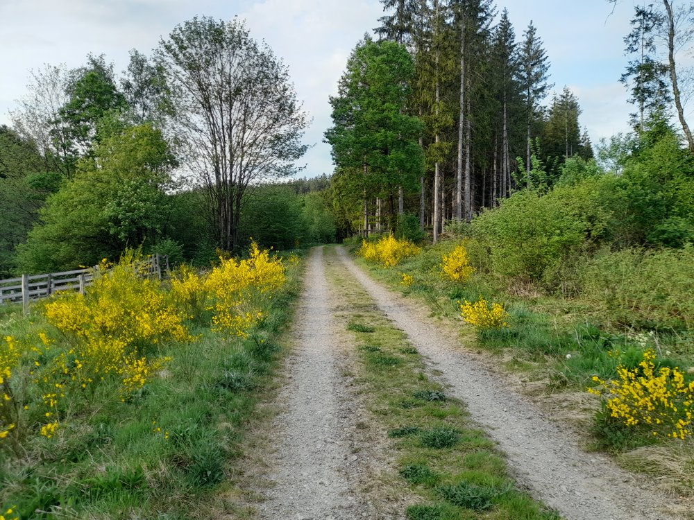
Besides the famous Warche valley with the water buffaloes (!), the Frankenbach is central here.
You pass a natural water spring where the locals draw drinking water. Curious about how water tastes without the additives (from our water pipes)? Give it a try!
automatic translation


 Upgrade to Premium Plus
