 Hiking
 Login
Login More
More EN
EN Premium
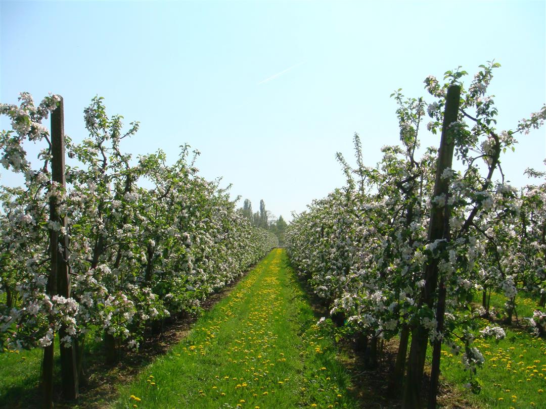
Orchard Walk
automatic translation
7.2 km • Glabbeek
 official route
1.3420 3 3.5/5
route offered by
 Addresse starting point (approximate)
Kerk Onze-Lieve-Vrouw-van-Geboorte, Dorpsstraat, 3381 Kapellen (Glabbeek)
 signage
The route is signposted with thematic signs (no nodes). You can use a GPS device or our app to follow the route through the virtual nodes.
 Description
This hike passes numerous orchards and is definitely recommended during the blossom season. You start at the Onze-Lieve-Vrouw Geboorte church in Kapellen and along the way enjoy the beauty of the Valley of the Steenbeek, a beautiful piece of nature.
NOTE: This is a hike on a virtual hiking network. The nodes are not signposted on the property. Follow the 6-sided red and white signs with the name of the hike.
This hike is offered by Tourism Flemish Brabant.
automatic translation
 nodes to follow
0 km
1.1 km
2.8 km
3.5 km
5.1 km
5.4 km
6.6 km
7.2 km
Sunday, April 18, 2021 by Luc WullaertPleasant walk along and through orchards. Fairly paved but fairly quiet. Towards the end there is a nasty stretch along a busy road. Too bad
automatic translation
Tuesday, July 21, 2020 by Elly MattheusBeautiful hiking trail with a good variety of paved and unpaved paths. Very quiet and restful environment.
automatic translation
Sunday, June 21, 2020 by L.G.Beautiful hiking trail
automatic translation


 Upgrade to Premium Plus
