
 Hiking
 Login
Login
 More
More
 EN
EN
 Premium
Boomgaardenwandeling
7.2 km • Glabbeek
 official route
3.6205 4 3.6/5
route offered by

 Addresse starting point (approximate)
Kerk Onze-Lieve-Vrouw-van-Geboorte, Dorpsstraat, 3381 Kapellen (Glabbeek)
 signage
The route is signposted with thematic signs (no nodes). You can use a GPS device or our app to follow the route through the virtual nodes.
 Description
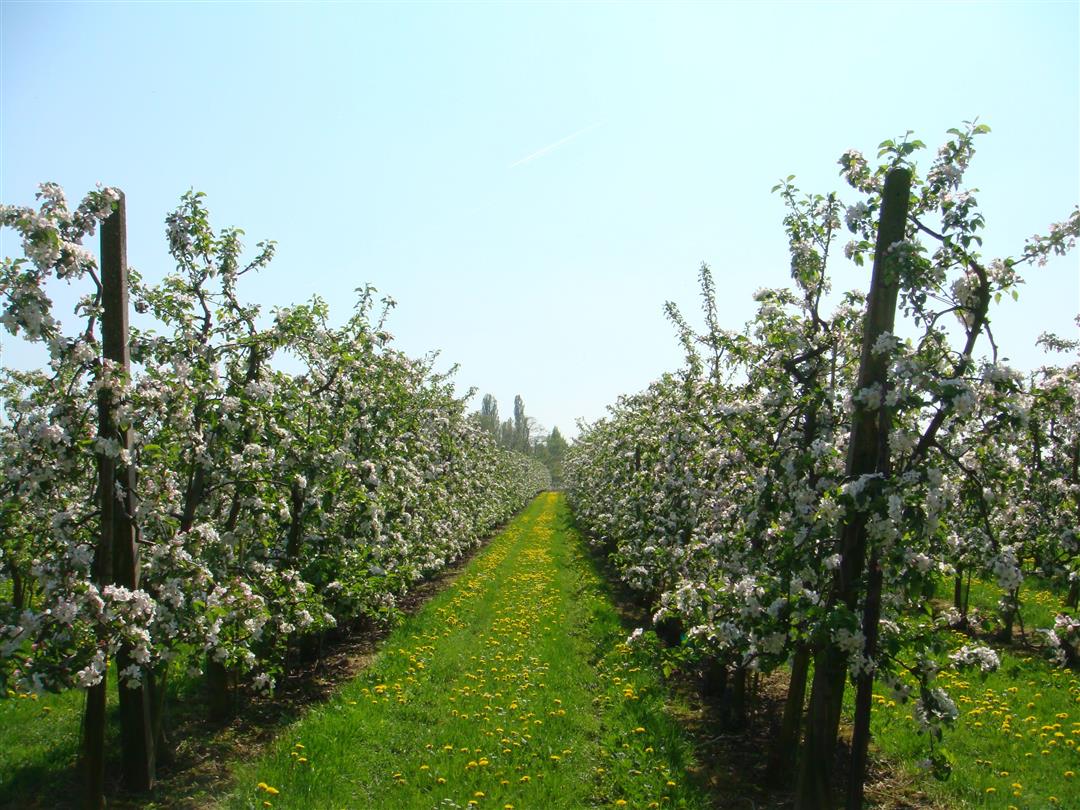
You’ll walk through row after row of orchards. This part of Glabbeek has the largest area dedicated to fruit cultivation. It’s a magnificent sight during the blooming season, when the apple and pear trees paint the entire region in shades of white and pink. The Church of the Nativity of Our Lady in Kapellen, your starting point, is said to have been founded by Pepijn van Landen. Enjoy the beauty of the Steenbeek Valley, a stunning natural area.
Before you set out:
This is a walk on a virtual hiking network. The junctions are not marked on the ground. Follow the hexagonal red-and-white signs bearing the name of the walk.
automatic translation
 nodes to follow
0 km
1.1 km
2.8 km
3.5 km
5.1 km
5.4 km
6.6 km
7.2 km
Sunday, April 5, 2026 by Xavier DesmoutierPleasant walk in the middle of blooming fruit trees! Top !
Sunday, April 18, 2021 by Luc WullaertPleasant walk along and through orchards. Fairly paved but fairly quiet. Towards the end there is a nasty stretch along a busy road. Too bad
automatic translation
Tuesday, July 21, 2020 by Elly MattheusBeautiful hiking trail with a good variety of paved and unpaved paths. Very quiet and restful environment.
automatic translation
Sunday, June 21, 2020 by L.G.Beautiful hiking trail
automatic translation



 Upgrade to Premium Plus


