 Hiking
 Login
Login
 More
More
 EN
EN
 Premium
B&B Level600 - Warche downstream
automatic translation
6.1 km • Büllingen
2.8492 0 0/5
6.1 km
0.0 km
0.0 km

 Addresse starting point (approximate)
Hünningen 175D, 4760 Hünningen, BE
 signage
The route is fully signposted with nodes.
© B&B Level600
 Description
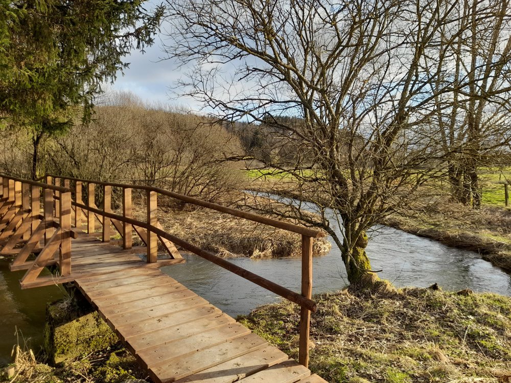
The Warche and the nearby Holzwarche are the two streams that feed the lake of Bütgenbach.
On this walk, you follow the Warche downstream, with an emphasis on wide panoramas. You will also encounter a wooden bridge with a high WOW factor.
For a few hundred meters, you also follow the route of the famous 5***** cycling path VennBahn/RAVeL. The area is overflown by red kites, buzzards, kestrels, fieldfares, etc.
automatic translation


 Upgrade to Premium Plus
