 Hiking
 Login
Login
 More
More
 EN
EN
 Premium
Unpaved around Aaigem
automatic translation
7.9 km • Erpe-Mere
5.13822 6 4.2/5

 Addresse starting point (approximate)
Kosterweg, 9420 Aaigem, BE
 signage
The route is fully signposted with nodes.
 Description
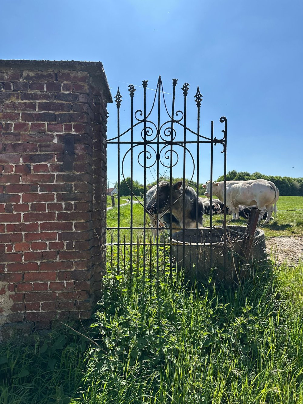
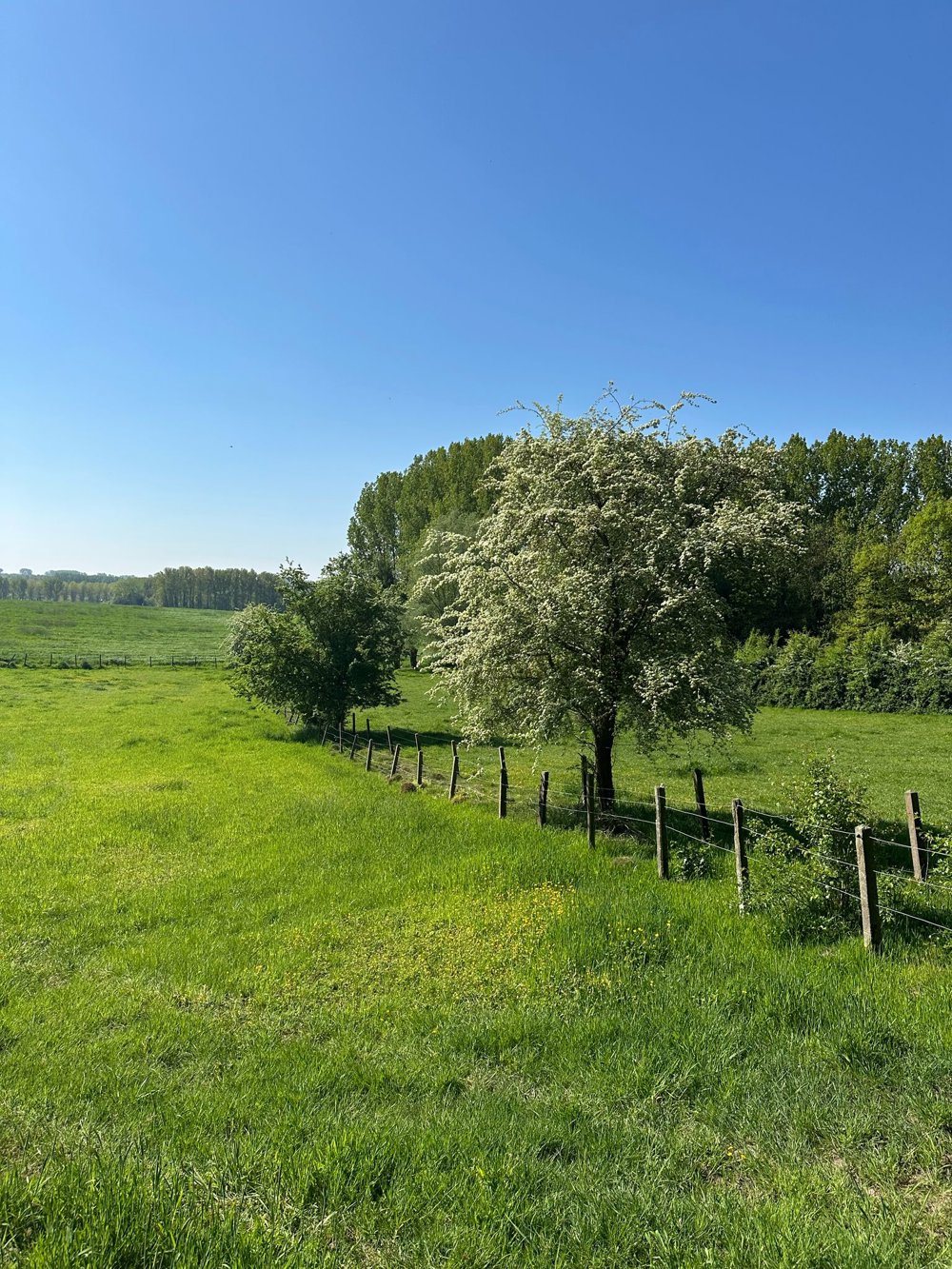
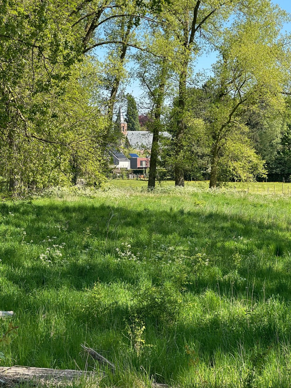
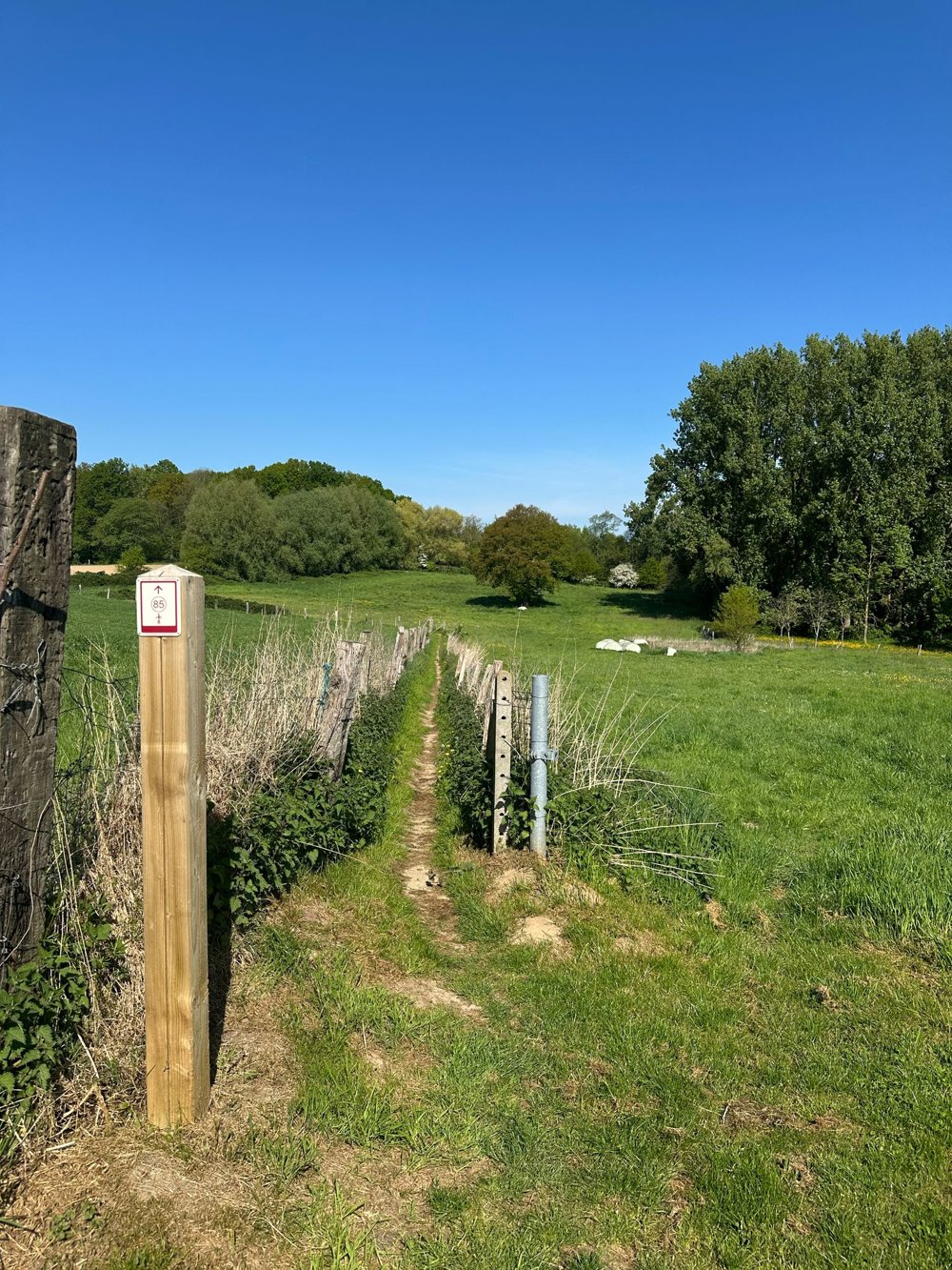
Walk along quiet country roads and green lanes around Aaigem.
Enjoy gentle slopes, babbling brooks, and quiet nature. Ideal for those who love silence, greenery, and authentic landscapes. Simply a must-see.
automatic translation
 nodes to follow
0 km
0.9 km
1.9 km
2.9 km
4 km
4.4 km
5.1 km
6.2 km
7.1 km
7.9 km
Sunday, June 7, 2026 by Katrien De TroyerWonderful!!! Went hiking in June 2026—it was dry everywhere
automatic translation
Friday, September 19, 2025 by N.D.Beautiful varied route. Well signposted. Picnic area between nodes 85 and 84.
automatic translation
Saturday, August 2, 2025 by J.D.Beautiful route with lots of variety. Despite the abundant rain of the past few days, the dirt roads are passable.
automatic translation
Friday, June 13, 2025 by Vanderdonckt PatrickThanks for the beautiful hike with lots of dirt!
automatic translation
Monday, May 19, 2025 by Liesbeth De Keysersuper pleasant route to hike. Top!
automatic translation
Sunday, May 18, 2025 by Y.V.quiet walk, little paved.
automatic translation


 Upgrade to Premium Plus
