
 Hiking
 Login
Login
 More
More
 EN
EN
 Premium
Kalvariewandeling
9.4 km • Lubbeek
 official route
2.9733 3 2.3/5
route offered by

 Addresse starting point (approximate)
Zaal Santro, Tiensesteenweg 56-61, 3211 Binkom (Lubbeek)
 signage
The route is signposted with thematic signs (no nodes). You can use a GPS device or our app to follow the route through the virtual nodes.
 Description
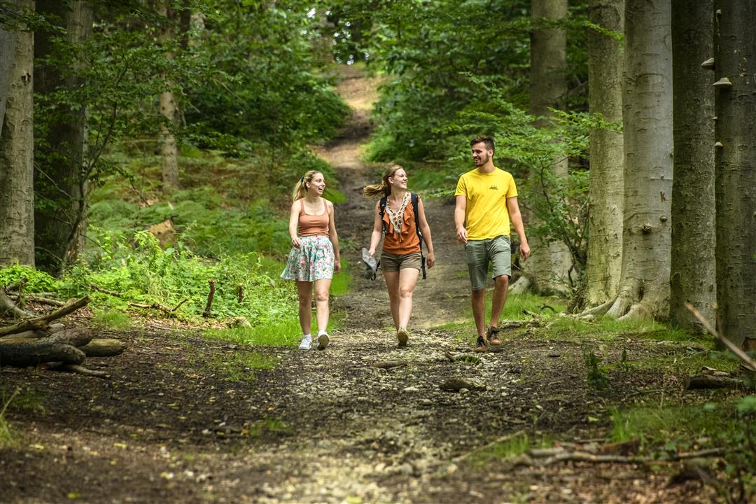
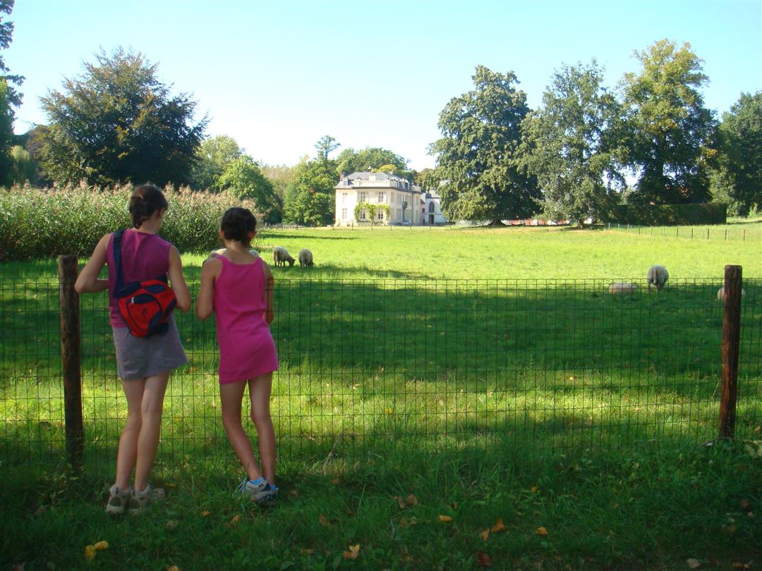
Take a walk through the wooded hills and across the endless fields of Lubbeek and Binkom. Here and there, you’ll come across a beautiful castle estate or a picturesque little chapel. The highlight is the Kalvariebos, with its “witches’ circle” of beech trees and a crucified Jesus at the top. At the edge of the forest, children can let off steam in the play area, complete with fun climbing structures and fairy-tale characters. The forest is a remnant of the Cieffeltebos, which once covered 300 ha.
Before you set out: This is a walk on a virtual hiking network. The junctions are not marked on the ground. Follow the hexagonal red-and-white signs bearing the name of the walk.
automatic translation
 nodes to follow
0 km
0.7 km
1.5 km
2.6 km
3 km
3.6 km
4.4 km
4.8 km
6 km
6.4 km
6.9 km
7.7 km
8.2 km
8.8 km
9.4 km
Sunday, May 23, 2021 by Tim StakenborgMore bike route than hiking route. Everywhere (except nice last slope through forest) on paved roads and almost anywhere cars (can) go.
automatic translation
Tuesday, January 19, 2021 by Ivan Lindekensfirst kilometer and last kilometer very nice, the rest is almost all on concrete and between houses.
automatic translation
Tuesday, August 4, 2020 by A.B.Lubbeek...once my hometown, the calvary....Occasionally an almost weekly outing on Wednesday afternoons with the boarders of the Rosary Institute...nostalgia thus.
The walk is over field, forest and the last part over concrete, quiet village roads....toughly enjoyed!
automatic translation



 Upgrade to Premium Plus


