 Hiking
 Login
Login
 More
More
 EN
EN
 Premium
Kwadeschuurwandeling
8.7 km • Lubbeek
 official route
2.8452 4 2.4/5
route offered by
 Addresse starting point (approximate)
Sint-Bernarduskerk, Staatsbaan 178, 3210 Lubbeek
 signage
The route is signposted with thematic signs (no nodes). You can use a GPS device or our app to follow the route through the virtual nodes.
 Description
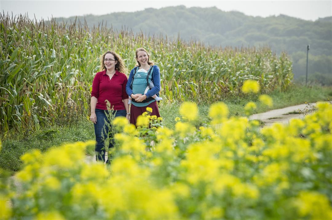
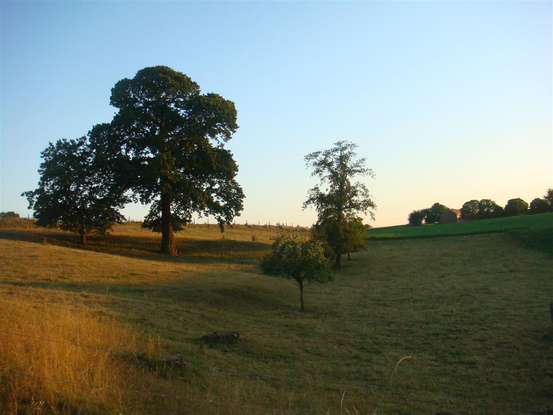
Through the rolling countryside of Lubbeek, all the way to the highest point of the village where the water tower stands. Needless to say, the panoramic view there is magnificent. Make your way through the densely vegetated, unpaved Waterstraat, the old road connecting Aarschot and Jodoigne. Hendrik Conscience is said to have slept along the Consciencepad during his military service. In the spring, the blossoms of the orchards brighten up the entire region.
Before you set out: This is a walk on a virtual hiking network. The junctions are not marked on the ground. Follow the hexagonal red-and-white signs bearing the name of the walk.
automatic translation
 nodes to follow
0 km

0.6 km
0.6 km
1.7 km
3.4 km
4.2 km
5.4 km
5.9 km
6.5 km
7.4 km
8 km

8.6 km
Wednesday, July 22, 2026 by L.D.Lots of scenic views, beautiful sunken roads—I give it 3 stars because the rest of the route consists mostly of paved roads, though they are very quiet; I didn’t see more than one car. I wouldn’t start at the church, but rather at the Célis parking lot.
automatic translation
Sunday, April 12, 2026 by M.J.The signage is only one-way, but it’s easy to follow. The route features many long, straight stretches of concrete path and a few sunken roads.
automatic translation
Monday, April 14, 2025 by J.D.Very poor signage!
automatic translation
Friday, July 11, 2025 by K.V.Therefore, it is a walk along virtual nodes you are not going to encounter physical signs there is no signage. The area uses virtual nodes. These are visible via digital route planners. You can follow the routes perfectly via GPS or app, and they are often as well developed as the physical networks.
automatic translation
Sunday, October 11, 2020 by G.M.G. Slightly rolling. Alternating concrete roads, old cobblestone road and lots of hollow roads. Beautiful views, quiet walk, only encountered some mtbikers. Worth repeating.
automatic translation


 Upgrade to Premium Plus
