 Hiking
 Login
Login More
More EN
EN Premium
Small Circle Walk
automatic translation
12 km • Boutersem
 official route
route offered by
 Addresse starting point (approximate)
Kasteel van Kwabeek, Neervelpsestraat 11, 3370 Vertrijk (Boutersem)
 signage
The route is not signposted. Use a GPS device or our app to follow the route through the virtual nodes.
 Description
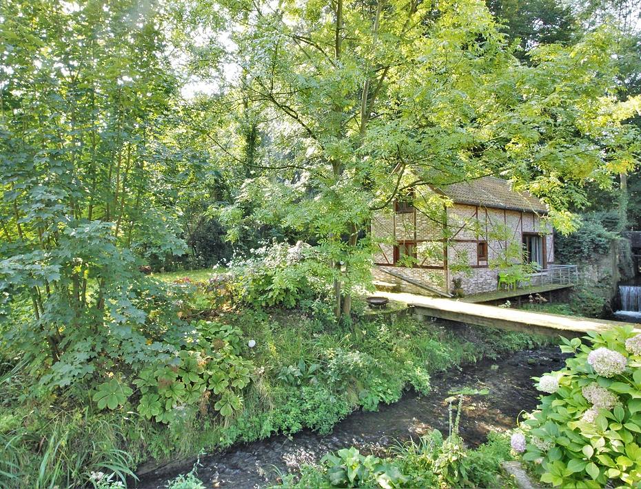
This walk connects the churches of Vertrijk, Roosbeek, Butsel and Boutersem. Besides its rural character with typical hollow roads, this walk also offers a lot of cultural-historical sights. Start at the Kwabeek castle park where a beautiful mansion stands in the middle of a green oasis. Pass the nature reserve De Snoekengracht which contains one of the most beautiful Flemish dotter grasslands and in the Butselbos look for the source of the Molenbeek, the Malendriesbeek and the Eikenveldbeek.
NOTE: This is a hike on a virtual hiking network. The nodes are not signposted on the property. Follow the 6-sided red and white signs with the name of the hike.
This hike is offered by Tourism Flemish Brabant.
automatic translation
 nodes to follow
0 km
1.2 km
2.8 km
3.4 km
4.2 km
4.5 km
6 km
6.8 km
7.1 km
7.6 km
7.8 km
8.9 km
9.5 km
10.8 km
12 km
Sunday, March 12, 2023 by P.P.Done on a sunny Saturday afternoon. After several days of rain/snow, only the forest was soggy. The route is perfectly lined, park and castle are worthwhile and it is a nice walk but I would definitely not do it on a Sunday morning: there are many tracks of MTB on narrow roads.
automatic translation
Wednesday, July 29, 2020 by H.T.Too much through built-up areas, not enough real hiking trails. Roads are passable .
Route description: after /- 8 km you come through a forest with at some point a "crossroads" with 4 directions. The pole with the signpost has fallen over, so here you have to guess which direction to take.
automatic translation
Saturday, June 27, 2020 by Paul Van HoovelsA very nice varied walk. Forest, fields, small villages, churches everything is in this walk. Only our distance measurement differed from the given distance of 10.9 we had almost 14km at the end. (measured with strava)
automatic translation


 Upgrade to Premium Plus
