 Hiking
 Login
Login
 More
More
 EN
EN
 Premium
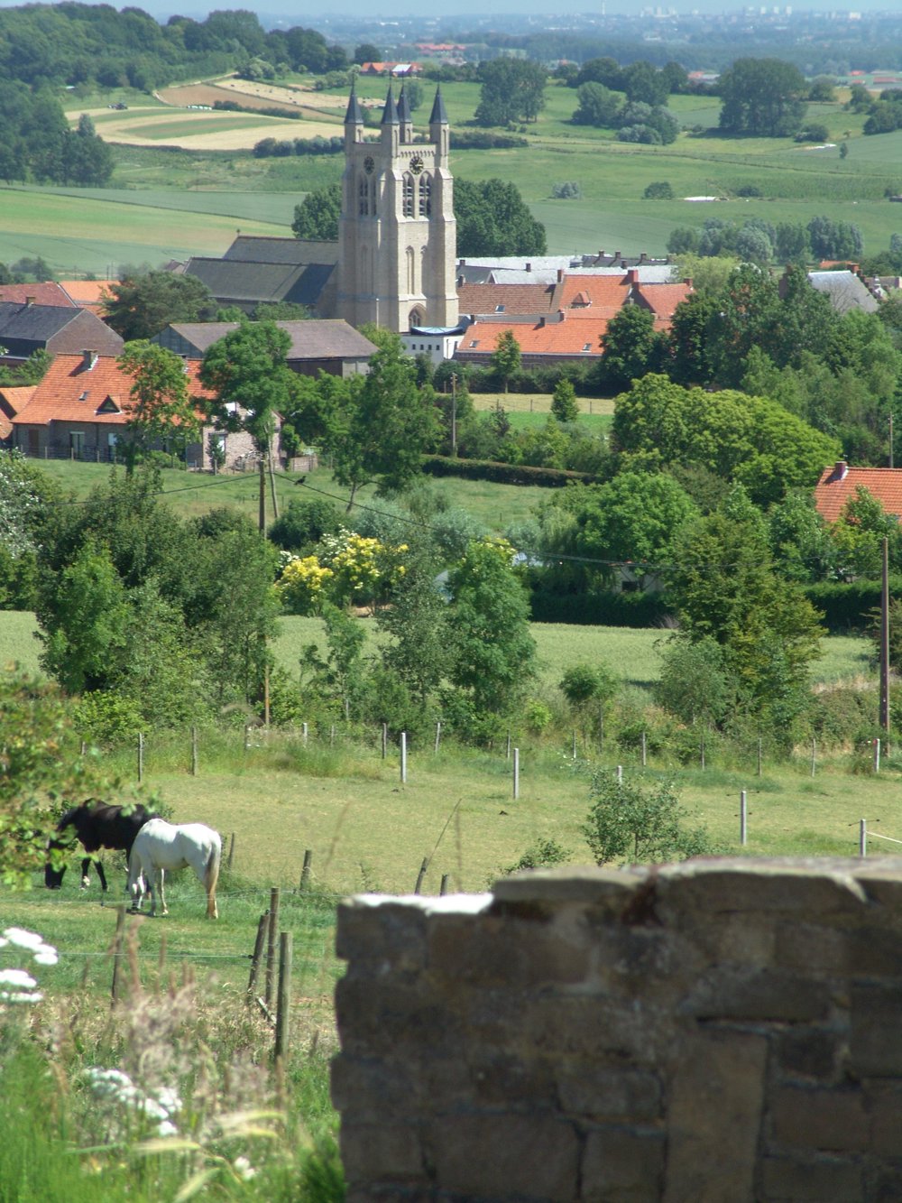
Picturesque Douve Valley in Heuvelland
automatic translation
8.2 km • Heuvelland
2.02911 1 5/5

 Addresse starting point (approximate)
Dikkebusstraat 172, 8958 Heuvelland, BE
 signage
The route is fully signposted with nodes.
 Description
This route is ideal for those who love adventurous hikes in an authentic, green environment.
122 meters of elevation - 8.2 km - more than 5 km off-road.
The Douve is a stream that originates in this valley, and centuries ago, this stream was even navigable!
The stream flows into the Leie in Warneton and is still a few meters wide there.
You walk in a stream valley, so after rain, it can remain muddy longer than a walk on flatter paths.
But... it is very beautiful there!
automatic translation
 nodes to follow
0 km
0.3 km
0.9 km
1.1 km
1.9 km
2.1 km
2.4 km
2.5 km
2.5 km
3.2 km
3.5 km
3.9 km
4.6 km
4.6 km
5.6 km
6.2 km
6.5 km
6.7 km
6.8 km
7.1 km
7.2 km
7.6 km
7.6 km
7.9 km
8.2 km
Sunday, May 24, 2026 by OLIVIER DUPONTA wonderful hike that I did again this morning under beautiful sunshine, without the mud from February. Stunning views. A very hilly route. Such a change of scenery—it feels like a whole other world right near home. I absolutely loved it. Definitely worth doing again.
automatic translation


 Upgrade to Premium Plus
