 Hiking
 Login
Login More
More EN
EN Premium
Little Switzerland hike
automatic translation
11.8 km • Boutersem
 official route
1.6651 6 2.9/5
route offered by
 Addresse starting point (approximate)
Boerenzaal, Malendriesstraat 51, 3370 Kerkom (Boutersem)
 signage
The route is signposted with thematic signs (no nodes). You can use a GPS device or our app to follow the route through the virtual nodes.
 Description
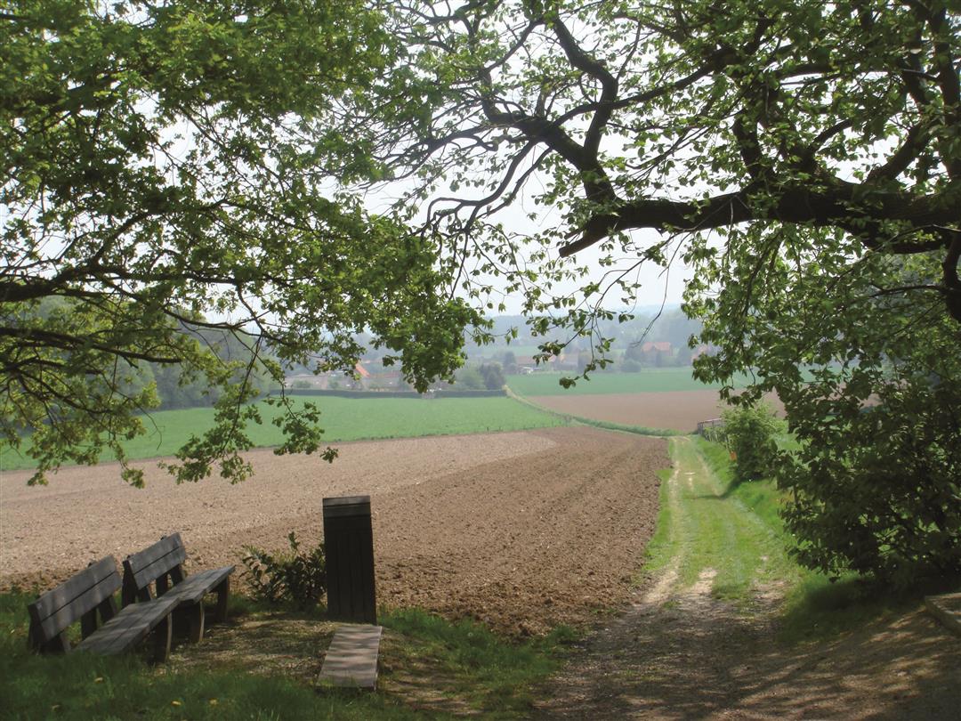
The source area of Winge and Molenbeek was given the name "Little Switzerland of the North. As you hike through the picturesque Velpe Valley, you'll soon know why. On this hike, you will enjoy beautiful vistas of the Koppel oaks and then stroll along the banks of the Great Velp. In wet periods, boots are no luxury there.
NOTE: This is a walk on a virtual walking network. The nodes are not signposted on the property. Follow the 6-sided red and white signs with the name of the hike.
This hike is offered by Tourism Flemish Brabant.
automatic translation
 nodes to follow
0 km
1.8 km
2.2 km
3 km
4.9 km
5.3 km
5.5 km
5.9 km
6.1 km
6.9 km
7.8 km
9.2 km
9.6 km
11.2 km
11.7 km
Saturday, July 23, 2022 by Tamara NotaertsBeautiful walk . Especially along quiet field and forest roads. Only when you are almost at the end we missed? Or did a sign disappear.... Followed slow road and ended up back at a sign after turning around at the intersection ;) Absolutely recommended
automatic translation
Friday, February 19, 2021 by M.V.Except for an unpleasantly too long stretch along Kerkom Street, this is still a nice walk
automatic translation
Saturday, February 6, 2021 by Ingrid VandijckNice walk except for the last quarter when you walk along a busy lane with no passable shoulder for quite some time.
automatic translation
Sunday, September 20, 2020 by G.M.Surely the name of this hike is misleading. >Mini-mini-mini Switzerland hike. The number of beautiful views during this hike is not that numerous
automatic translation
Saturday, October 26, 2019 by M.S.indeed, many signposts have disappeared....
Too bad
automatic translation
Thursday, October 17, 2019 by M.D.Beautiful hike, but. In the upper loop, almost all the signposts have disappeared (or we didn't find them). Unpaved roads have since been asphalted and vistas are hidden behind new villas.... This was a bit disappointing.
automatic translation


 Upgrade to Premium Plus
