 Hiking
 Login
Login
 More
More
 EN
EN
 Premium
Lintgen: Guttland.Trail Schéiferei
automatic translation
10.1 km • Lintgen
2060 0 0/5

 Addresse starting point (approximate)
Rue de la Gare 5, 7448 Lintgen, LU
 signage
The route is fully signposted with thematic signs (no nodes).
 Description
We did this beautiful nature walk on 04/02/2025. (13,151 steps)
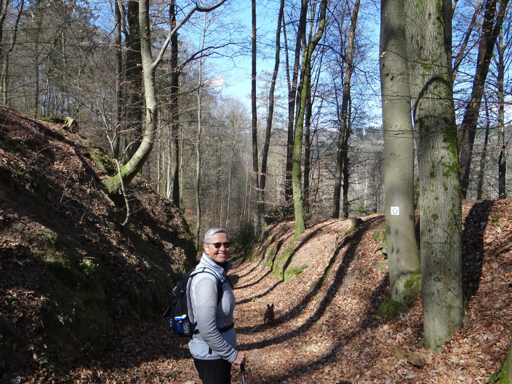
Markings in both directions: open green circle on a white background.
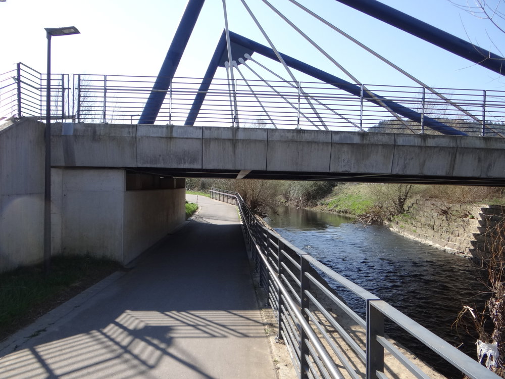
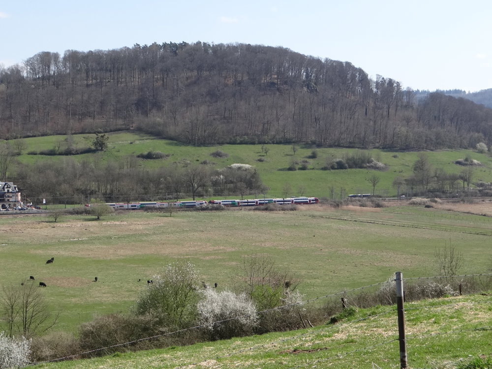
The route is accessible by train. Public transportation in Luxembourg is completely free. By car? You can park next to the Lintgen train station or at the sports hall.
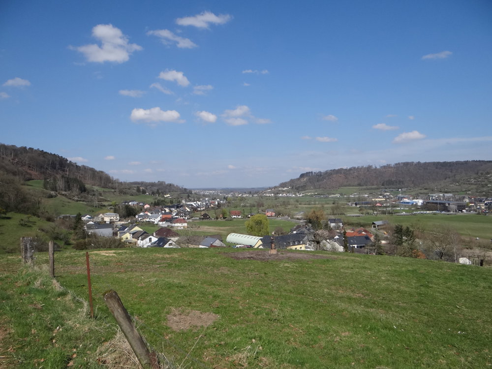
The walk starts with an approach route of about 900 m, taking you through the small, beautiful village of Prettingen. Both Lintgen and Prettingen are situated in the valley of the Alzette. A valley in Luxembourg means climbing and descending. And that's what we did. We chose to walk the route counterclockwise. In hindsight, that wasn't a bad decision: the descent was a bit steeper than the ascent.
The walk alternated between paved roads and wide forest and field paths. Beautiful views are, of course, part of the package. A walk to enjoy.
More photos: https://photos.app.goo.gl/DHvGJmk4RigmAEfr8
Happy walking,
Eddy, Rita, and Prinske
automatic translation


 Upgrade to Premium Plus
