
 Hiking
 Login
Login
 More
More
 EN
EN
 Premium
Heulingenwandeling
13.6 km • Boutersem
 official route
2.1492 2 1.5/5
route offered by

 Addresse starting point (approximate)
Sint-Annakerk, Lubbeeksestraat, 3370 Roosbeek (Boutersem)
 signage
The route is signposted with thematic signs (no nodes). You can use a GPS device or our app to follow the route through the virtual nodes.
 Description
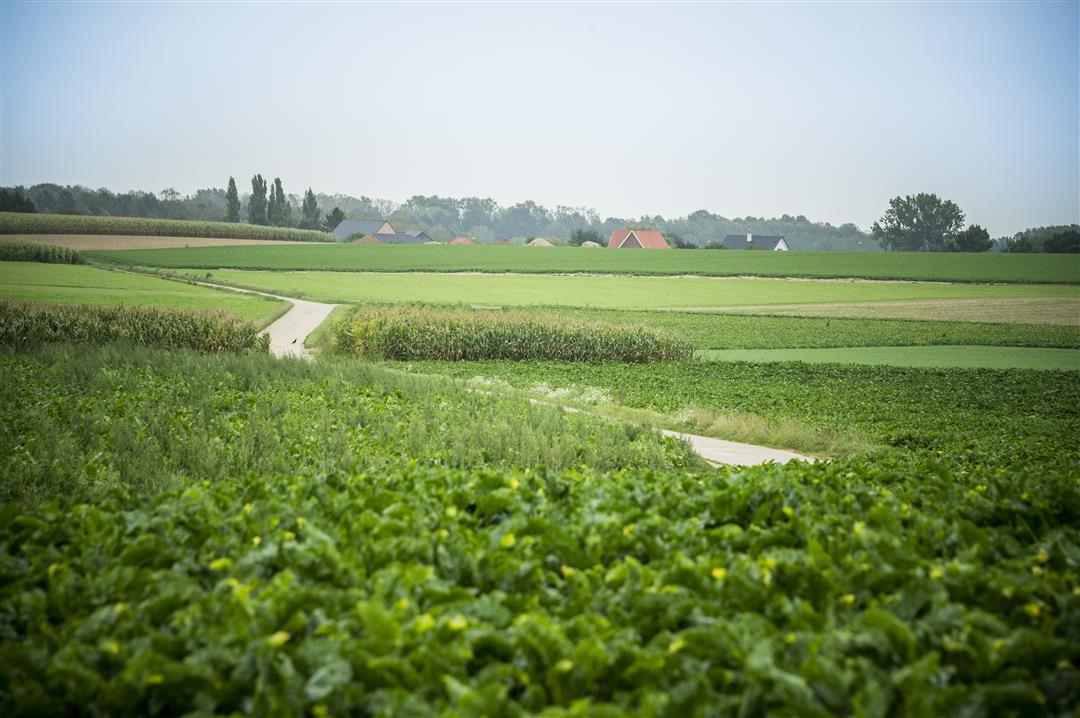
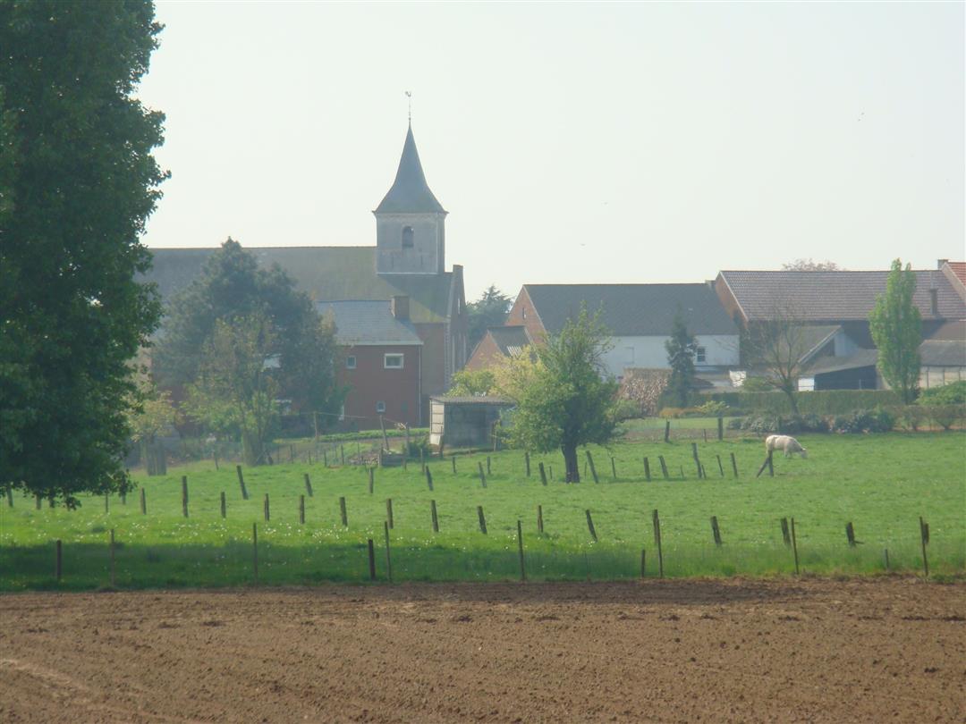
Take a walk along mostly unpaved paths past the most beautiful spots in Roosbeek and Willebringen. You’ll cross the E40 highway twice and the railroad tracks four times. The small brick chapel dedicated to Saint Barbara was built by railroad workers after they had dug the country’s very first railroad tunnel. That tunnel ran straight through the Blauwberg in Kumtich and was demolished after a collapse.
Before you set out: This is a walk on a virtual hiking network. The junctions are not marked on the ground. Follow the red-and-white hexagonal signs bearing the name of the walk.
automatic translation
 nodes to follow
0 km
0.4 km
2.7 km
2.7 km
3.1 km
4.3 km
4.6 km
6.4 km
6.7 km
7.3 km
7.6 km
7.7 km
8.9 km
9.2 km
10.6 km
11.7 km
12.3 km
13.1 km
13.4 km
13.6 km
Saturday, October 31, 2020 by J.V.This is not a pleasant relaxing walk, the first 3km are built-up areas and even include a 1km stretch along a busy road with little pedestrian access. The route is well marked and does pass through some fields here and there but also along the motorway...it is regularly just not possible to talk to each other.
automatic translation
Sunday, September 6, 2020 by R.P.The walk first goes a long way through buildings, but then enters greenery. Occasionally a sign is missing. Twice we guessed right, but not at the third missing sign, which didn't take us through Willebringen, but did take us into beautiful countryside and eventually landed us in Hoksem. Completely wrong. Then the same way back.
automatic translation



 Upgrade to Premium Plus


