 Hiking
 Login
Login More
More EN
EN Premium
St. Elmindis Walk
automatic translation
8.3 km • Bierbeek
 official route
route offered by
 Addresse starting point (approximate)
Sint-Lambertuskerk, Stationsstraat, 3360 Lovenjoel (Bierbeek)
 signage
The route is not signposted. Use a GPS device or our app to follow the route through the virtual nodes.
 Description
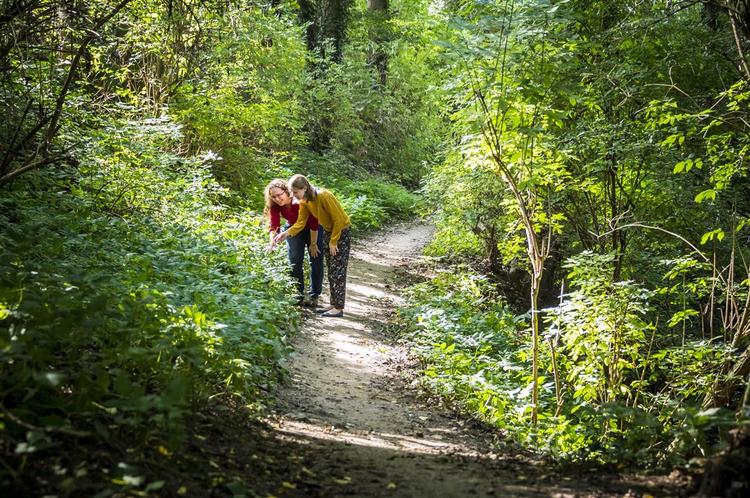
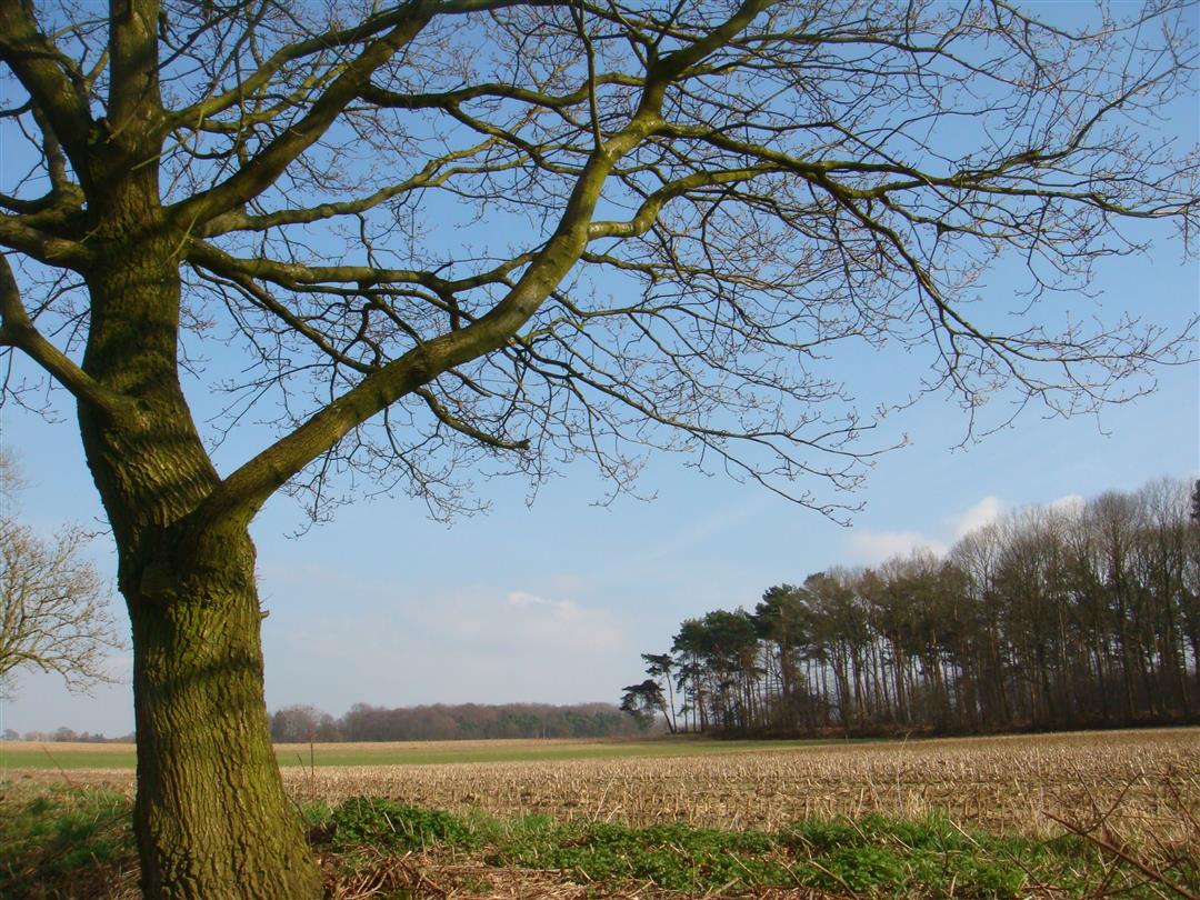
Walk through green Lovenjoel, along field and forest roads, along the banks of the Molenbeek. The walk departs from the Saint Lambert Church, which is listed within the Lovenjoel village site. Discover many rare plants in the Bruulbos. You can also take a look at the Chapel of Saint Ermelindis, patroness against fever, lameness and eye pain.
NOTE: This is a hike on a virtual hiking network. The nodes are not signposted on the property. Follow the 6-sided red and white signs with the name of the hike.
This hike is offered by Tourism Flemish Brabant.
automatic translation
 nodes to follow
0 km
0.9 km
1.1 km
1.2 km
2.6 km
3.7 km
4.4 km
5.8 km
7.2 km
8.2 km


 Upgrade to Premium Plus
