 Hiking
 Login
Login More
More EN
EN Premium
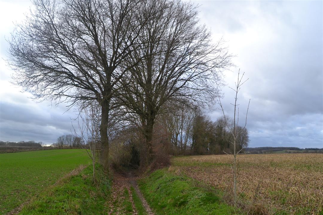
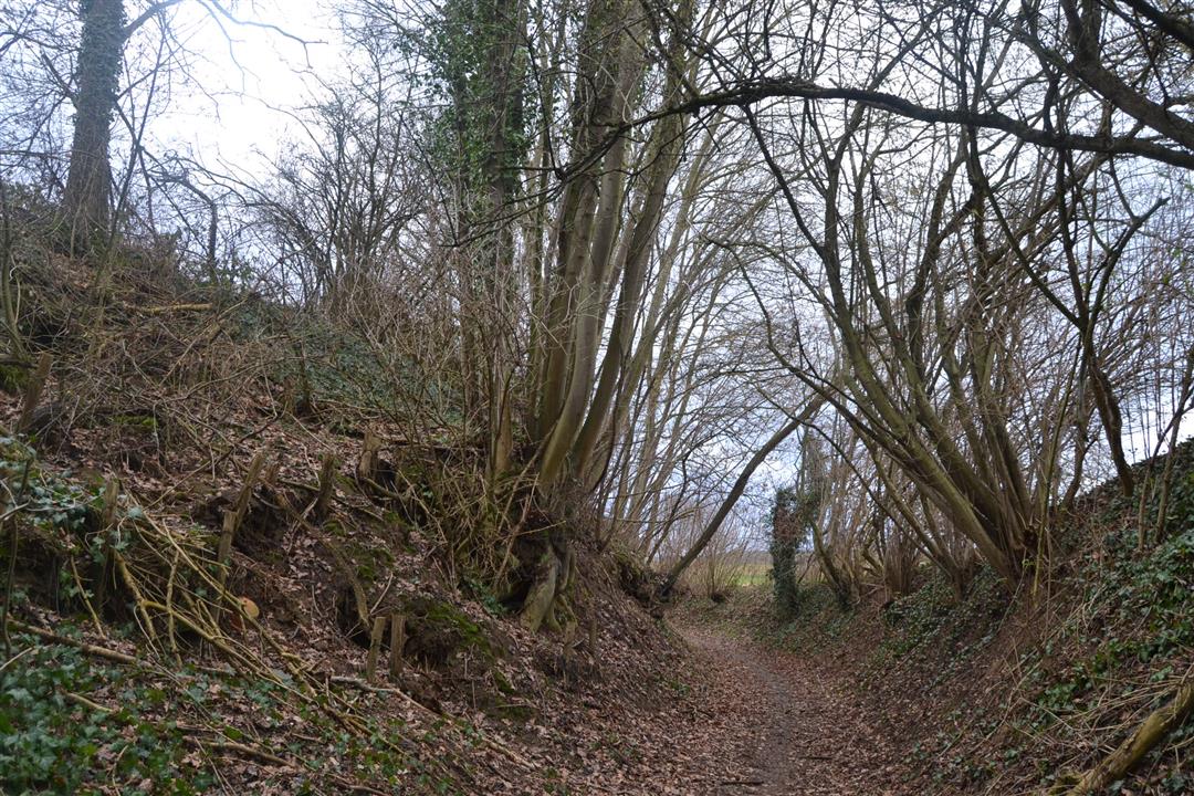
Hollow Roads Walk
automatic translation
7.9 km • Bierbeek
 official route
route offered by
 Addresse starting point (approximate)
Parking Velpestraat, 3360 Opvelp (Bierbeek)
 signage
The route is not signposted. Use a GPS device or our app to follow the route through the virtual nodes.
 Description
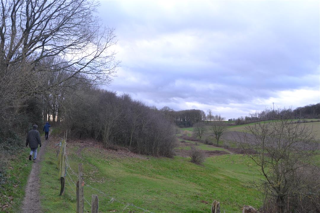
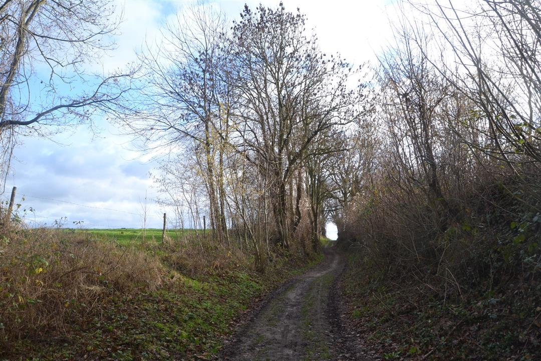
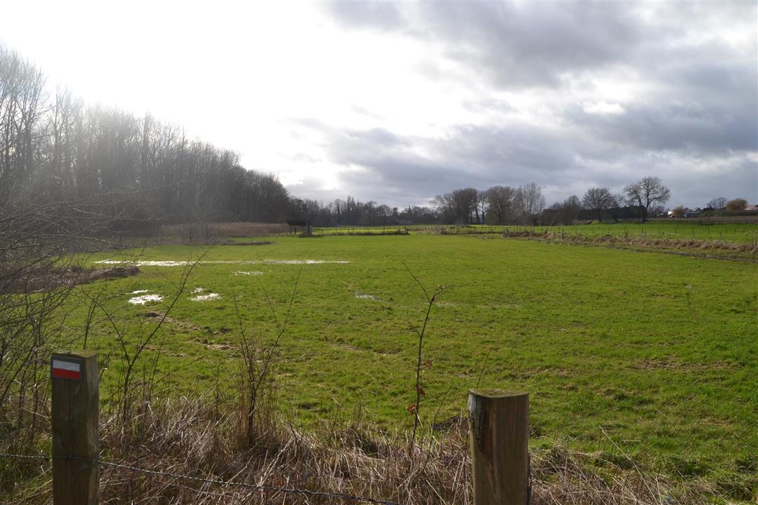
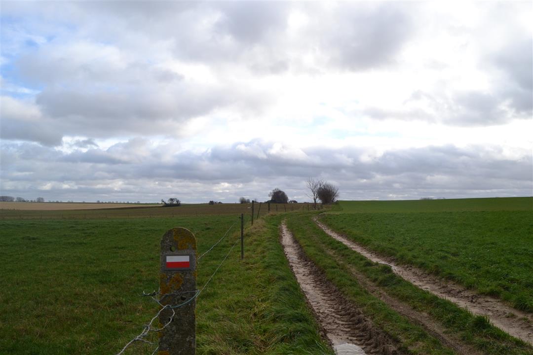
Be surprised by the hollow roads and the vastness of the village of Opvelp where you'll be following the small meanders of the Velpe. Agriculture has been prevailed here for centuries, of which the extraordinary square farm Berkenhof is a beautiful witness. Along the way you will discover some historical sites such as the Burnt Tower and the Killer Cross, which is fused into a hawthorn. In the second section, please capture the beauty of the nature reserve of Hazeberg.
NOTE: This is a hike on a virtual hiking network. The nodes are not signposted on the property. Follow the 6-sided red and white signs with the name of the hike.
This hike is offered by Tourism Flemish Brabant.
automatic translation
 nodes to follow
0 km
0.8 km
1 km
1.3 km
2.3 km
2.5 km

3.4 km
4.1 km
4.4 km
6.7 km
7.1 km
7.9 km
Monday, March 25, 2024 by A.N.Address starting point is wrong should be, park three fountains,Beneluxlaan 32, 1800 Vilvoorde. Then go to node 9
automatic translation
Sunday, January 15, 2023 by E.Q.This hike has been changed since September 2022, so previous comments are no longer correct. Beautiful hike through the valley of the Velpe and over the Haspengouw slate plateau. Along the way wide views, 2 square farms and the beautiful nature reserve Hazeberg.
automatic translation
Monday, March 25, 2024 by A.N.Good info 👍
automatic translation
Friday, February 19, 2021 by M.V.Enjoyed but not for repeat
automatic translation
Monday, September 7, 2020 by A.B.Departure point not found....no parking at Velpestraat.... no signage in area...too bad!!!
automatic translation
Sunday, July 19, 2020 by H.T.ADVERTISEMENT!
the route starts well. Unfortunately, after /- 2.5 km you have to turn left. You can see that there is a path here, but overgrown with nettles and brambles. After 300-400 m we turned right. No way through.
automatic translation
Sunday, July 19, 2020 by H.T.ADVERTISEMENT!
the route starts well. Unfortunately, after /- 2.5 km you have to turn left. You can see that there is a path here, but overgrown with nettles and brambles. After 300-400 m we turned right. No way through.
automatic translation
Sunday, July 19, 2020 by H.T.ADVERTISEMENT!
the route starts well. Unfortunately, after /- 2.5 km you have to turn left. You can see that there is a path here, but overgrown with nettles and brambles. After 300-400 m we turned right. No way through.
automatic translation


 Upgrade to Premium Plus
