 Hiking
 Login
Login
 More
More
 EN
EN
 Premium
Oosterzele 13 km
automatic translation
12.9 km • Oosterzele
1.8578 1 1/5

 Addresse starting point (approximate)
Dorp 34, 9860 Oosterzele, BE
 signage
The route is not signposted. Use a GPS device or our app to follow the route.
 Description
Departure: Sint-Gangulphus Church - village - Oosterzele
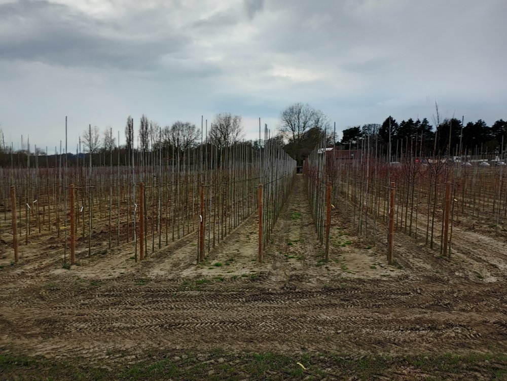
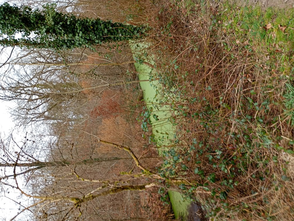
Walk in Oosterzele to the Ettingebos, Birth Forest, Lange Broucke, and the Balegem Sandstone Quarry. The area is known for its numerous nurseries, of which we will encounter several.
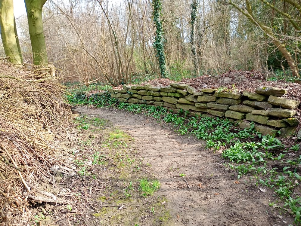
The "Ledesteen" from the Balegem Sandstone Quarry has been used since Roman times for the construction of houses and public buildings. Today, this stone, along with the Gobertange Stone "White Stone", is still the only quarried natural stone of Belgian origin, which is very important for preserving our cultural heritage.
At about 2/3 of the route, a sanitary stop can be made at café de Steenput with former professional cyclist Rudy Colman. Afterwards, return through the Ettingebos of Issegem.
automatic translation
Saturday, May 3, 2025 by Y.W.The route is out of date. It soon becomes clear that at a turnoff, you can't go into the woods. Not recommended to do.
automatic translation
Saturday, May 10, 2025 by Peter D'hontIn the vicinity of Smissenbroek Castle, a part is indeed private and may be closed since then. Then one is obliged to go around along the public road (Keiberg)
automatic translation


 Upgrade to Premium Plus
