
 Hiking
 Login
Login
 More
More
 EN
EN
 Premium
Balenbergwandeling
12.8 km • Tremelo
 official route
3.5885 8 1.6/5
route offered by

 Addresse starting point (approximate)
Sven Nys Cycling Center, Balenbergstraatje 11, 3128 Baal (Tremelo)
 signage
The route is signposted with thematic signs (no nodes). You can use a GPS device or our app to follow the route through the virtual nodes.
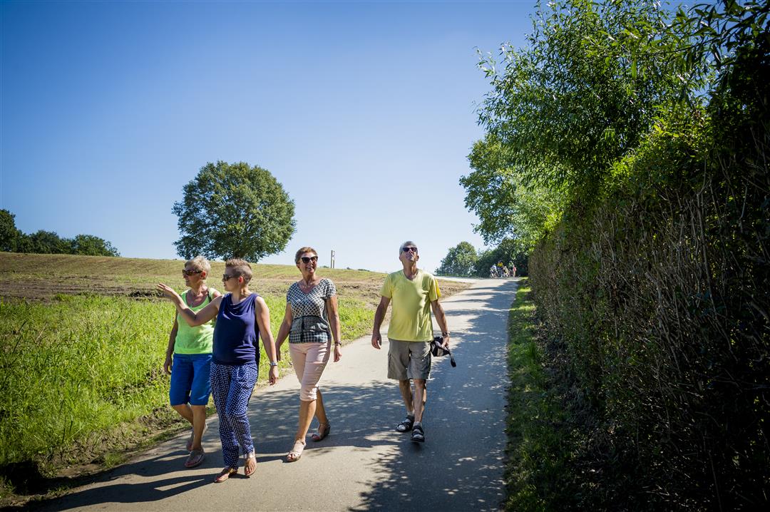
 Description
Discover the village where Sven and Thibau Nys learned to ride bikes, with the Balenberg as its literal and figurative highlight. At the summit, you’ll find the Sven Nys Cycling Center, and on the slope, you can race along the course of the Sven Nys Grand Prix yourself. But there’s also nature to explore, and with a little luck, you might spot the firefly, the local favorite. The route takes you through the Parkheide recreational forest, and every quarter hour you’ll hear the thirteen carillon bells of St. Anne’s Church in Baal ringing.
Before you set out:
This is a walk on a virtual walking network. The junctions are not marked on the ground. Follow the hexagonal red-and-white signs bearing the name of the walk.
automatic translation
 nodes to follow
0 km
0.4 km
0.6 km
0.9 km
1.6 km
2 km
3.7 km
4.4 km
5.4 km
7.8 km
9.4 km
10 km
11.3 km
12.1 km
12.4 km
12.8 km
Wednesday, February 25, 2026 by H.P.pleasant walk, varied
automatic translation
Saturday, November 8, 2025 by A.V.real disappointment! Lots of asphalt and only a few nice pieces of forest. You just have to know that the baling hill hike can only be followed by these signs. You don't have to follow any junction because there are NONE! So I don't understand why this hike is marked as a hiking node hike!!!
automatic translation
Monday, November 14, 2022 by R.J.Serious setback. Indeed, you are constantly walking on the road.
automatic translation
Monday, November 14, 2022 by R.J.Serious setback. Indeed, you are constantly walking on the road.
automatic translation
Monday, October 18, 2021 by Luc WullaertIdeal for those who want to admire the building monstrosities in our subdivisions. Walk to be avoided !
automatic translation
Thursday, May 13, 2021 by Peter WilsNot recommended. Just walking around the streets around Baal ... Then just do the Padre Damien walk a little further up !!!
automatic translation
Wednesday, June 3, 2020 by F.E.Fine. If you like walking in the woods this is not ideal. If you like walking on quiet roads it is super!
automatic translation
Saturday, February 15, 2020 by T.N.If you like going along the track (even without a walking strip), this is your ideal walk. Only briefly at the beginning and end you will pass through a forest strip.
automatic translation



 Upgrade to Premium Plus


