
 Hiking
 Login
Login
 More
More
 EN
EN
 Premium
Heidebos Walk
automatic translation
12.9 km • Lokeren
2.1136 1 3/5

 Addresse starting point (approximate)
Keizershoek 24, 9180 Moerbeke, BE
 signage
The route is fully signposted with nodes.
 Description
🌲Heidebos Walk🌲
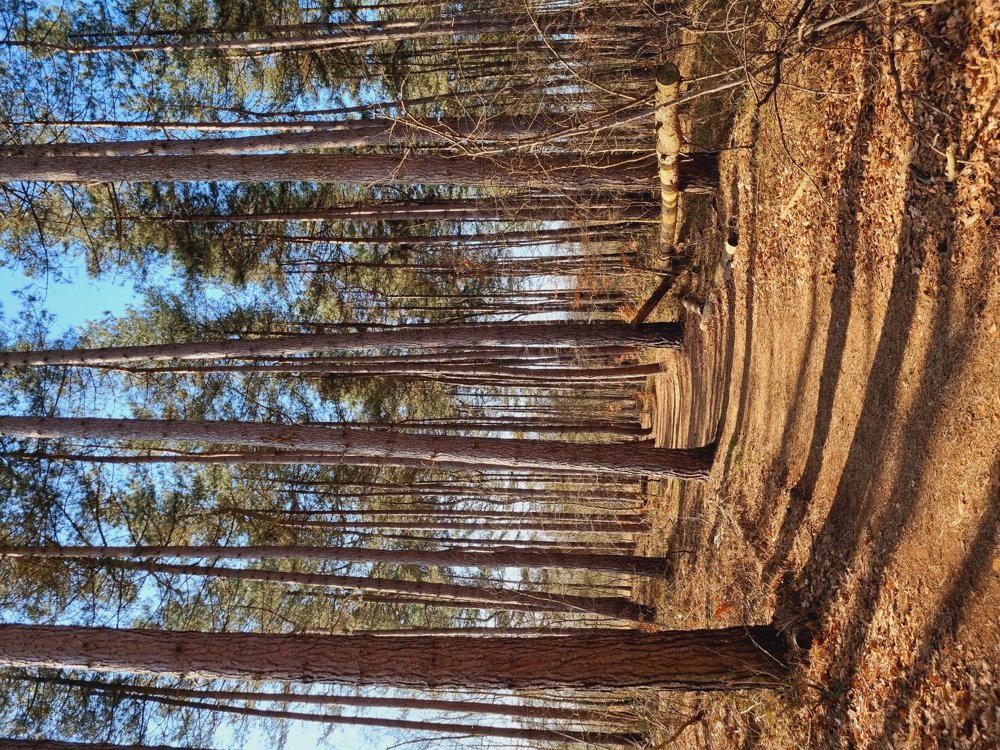
For a walk without mud, I can recommend this one. Beautiful!
🔢 Junction points: 51-54-53-52-6-5-7-8-9-2-4-3-51
📏 13 km (of which 11.3 km unpaved)
👩🏫 My rating: 8/10
🐾 Dogs not allowed (presence of Galloway cattle)
👶🏻 Not buggyproof
🪑 Ample picnic and seating benches
☕️ No catering
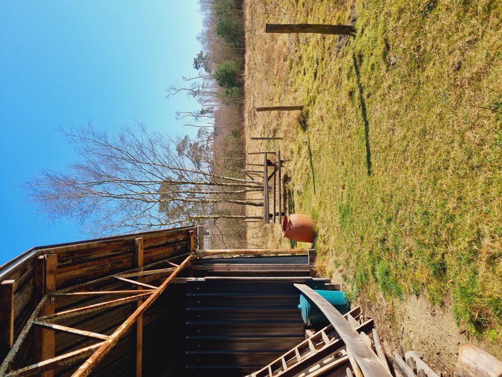
🚻 Wooden hut after 1.5 km from the start of the walk (see photo)
🅿️ Keizershoek, Moerbeke
(East Flanders)
automatic translation
 nodes to follow
0 km
2.1 km
5 km
5.1 km
6.3 km
7.1 km
7.7 km
8.7 km
9.5 km
11.9 km
12.4 km
12.5 km
12.9 km
Tuesday, February 10, 2026 by Lien CopersVery beautiful area for walking, but it's a shame that part of it is off-limits, even for dogs on a leash. So there you are, after a half-hour drive with your four-legged friend. Fortunately, we managed to get back on the (shortened) route and still had a nice walk.
automatic translation



 Upgrade to Premium Plus


