 Hiking
 Login
Login
 More
More
 EN
EN
 Premium
Magnificent Hoge Kempen
automatic translation
11.2 km • Lanaken
1.6160 1 4/5

 Addresse starting point (approximate)
Paalsteenlaan 90, 3620 Lanaken, BE
 signage
The route is not signposted. Use a GPS device or our app to follow the route through the virtual nodes.
 Description
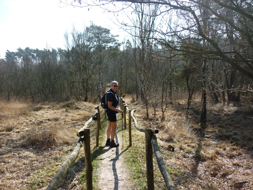
We took this walk on 08/03/2025
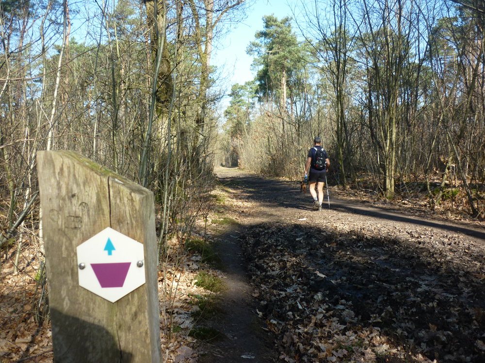
With its 11.2 km and 14,592 steps, this is an overwhelmingly beautiful nature walk. The route is well marked in both directions with purple trapezoids on a white background.
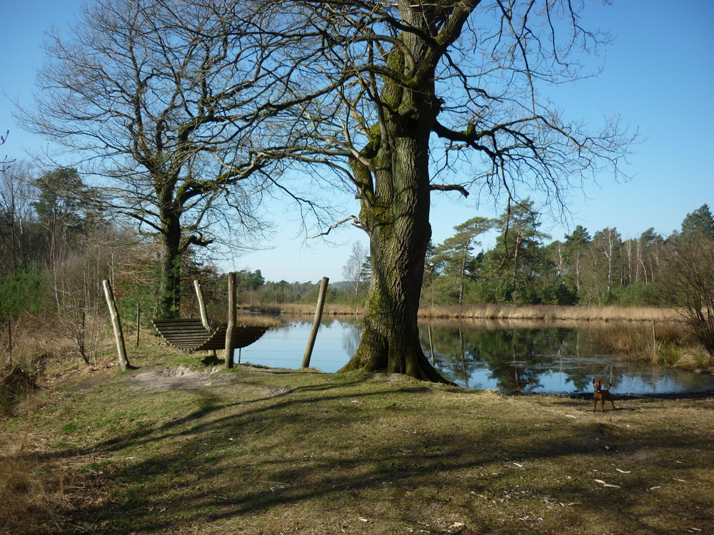
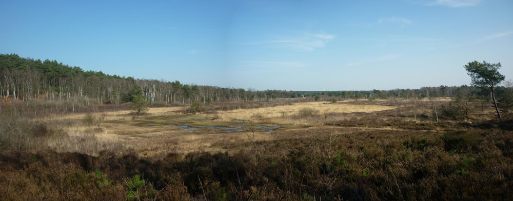
You pass ponds named Aspermansvijver, Gaarvijver, and Droogmeervijver. Furthermore, you go through the valley of the Ziepbeek and pass various high points with stunning views. This is a walk you can enjoy for a long time.
More photos: https://photos.app.goo.gl/yh5tMm4WDUttsufs5
More info: https://www.wandeleninlimburg.be/nl/routes/3378177/
Happy walking,
Eddy, Rita, and Prinske
automatic translation
 nodes to follow
0 km
4.3 km
6.8 km
7.5 km
9.2 km
9.8 km
10.2 km
10.5 km
10.6 km
11.1 km
Monday, December 15, 2025 by Paul VanderhallenWonderful route, can also be shortened between 62 and 55. For the loop 55 one can also go straight. Then the route becomes 8.4km.
automatic translation
Saturday, December 20, 2025 by Eddy & RitaThank you for your response. Have a great time hiking!
automatic translation


 Upgrade to Premium Plus
