 Hiking
 Login
Login
 More
More
 EN
EN
 Premium
Discovery Tour National Park De Biesbosch
automatic translation
17.7 km • Altena
1.53811 0 0/5

 Addresse starting point (approximate)
Lijnoorden 15, 4251 NH Werkendam, NL
 signage
The route is fully signposted with nodes.
 Description
Park near the Biesbosch Museum Eiland between points 85-17.
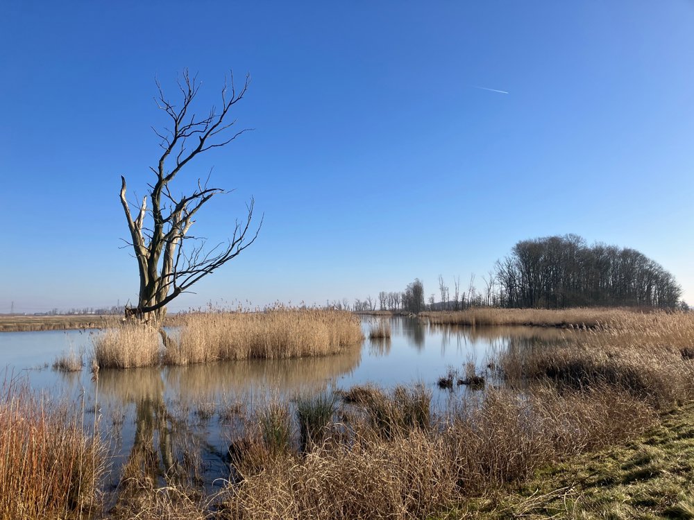
The Biesbosch is an adventurous maze of rivers, with islands of willow forests and winding creeks with crystal-clear water. However, the wet, rugged nature of this marsh is best experienced from the water. The walk does offer a lovely glimpse of the largest freshwater tidal area in Europe (info at the museum).
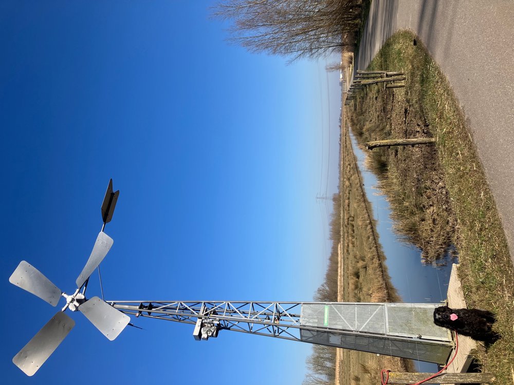
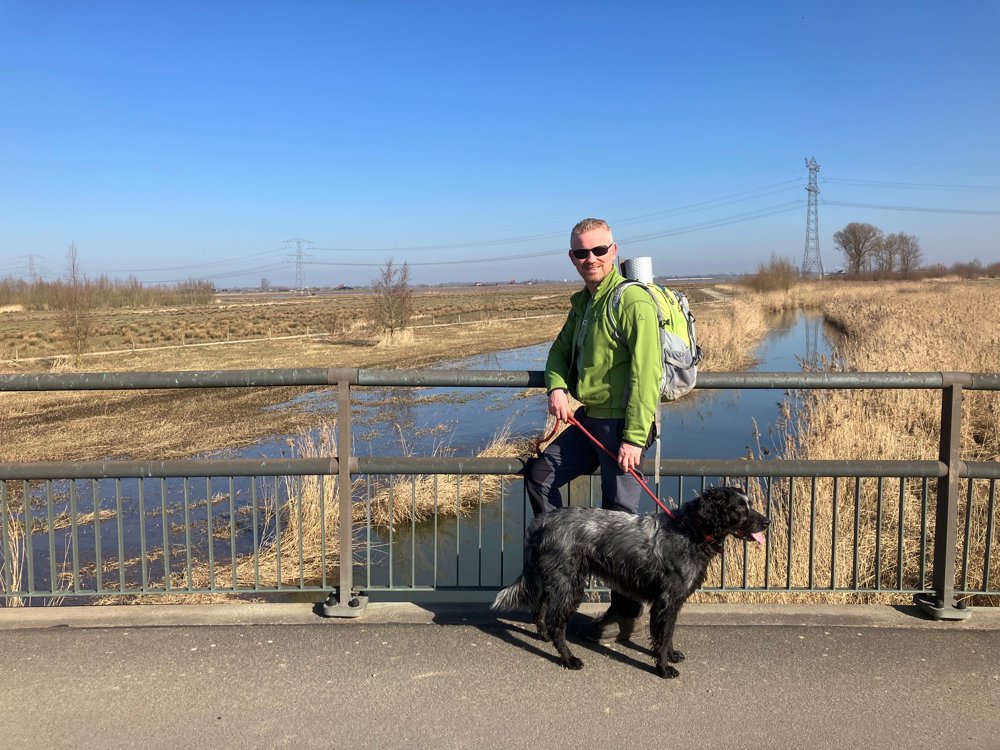
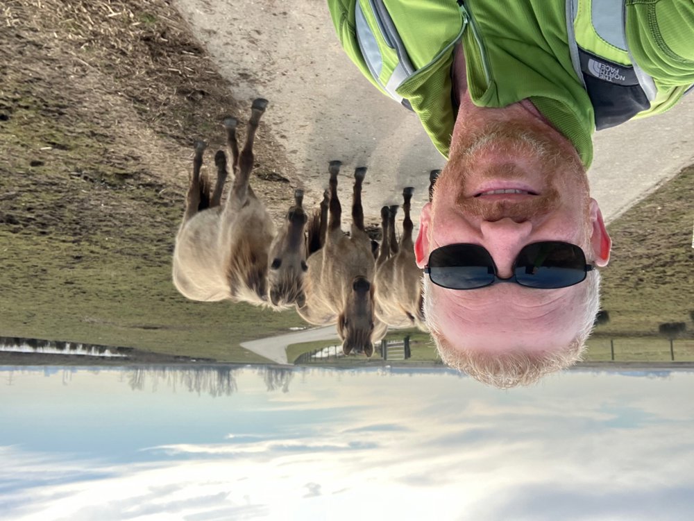
You depart via the Petrusplaat reservoir (viewpoint!) and pass by various waterholes to discover the Noordwaardpolder, its inhabitants, art, etc. The return route passes by the Nieuwe Merwede, which cuts the park into two parts.
Make sure to take the time to sit quietly and fully take in the natural spectacle. Additional exploration on unnumbered paths is possible, but keep in mind that water can regularly block the passage.
Dogs on a leash. Hiking boots recommended.
Avoid crowds by visiting during the week in spring/autumn, outside holiday periods.
automatic translation
 nodes to follow
0 km
0.8 km
1.4 km
2.3 km
3.1 km
3.5 km
5.8 km
6.4 km
6.8 km
8.4 km
9.2 km
9.6 km
10.9 km
11.1 km
12.2 km
13.1 km
14.2 km
15 km
15 km
16 km
16.9 km
17.7 km


 Upgrade to Premium Plus
