 Hiking
 Login
Login
 More
More
 EN
EN
 Premium
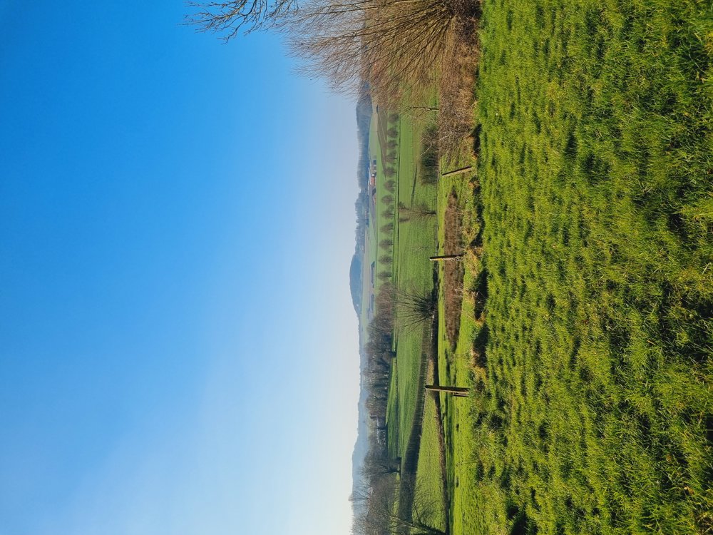
Hiking Hill Country
automatic translation
5.6 km • Heuvelland
2.53611 3 4.8/5

 Addresse starting point (approximate)
Dries 4, 8956 Heuvelland, BE
 signage
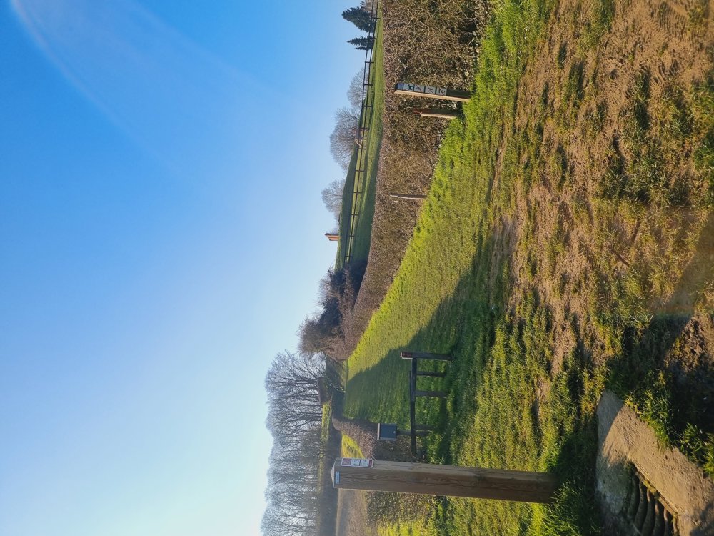
The route is fully signposted with nodes.
 Description
📍Kemmel (West Flanders)
🅿️ Sint-Laurentiusplein 1, Kemmel
+- 6 km
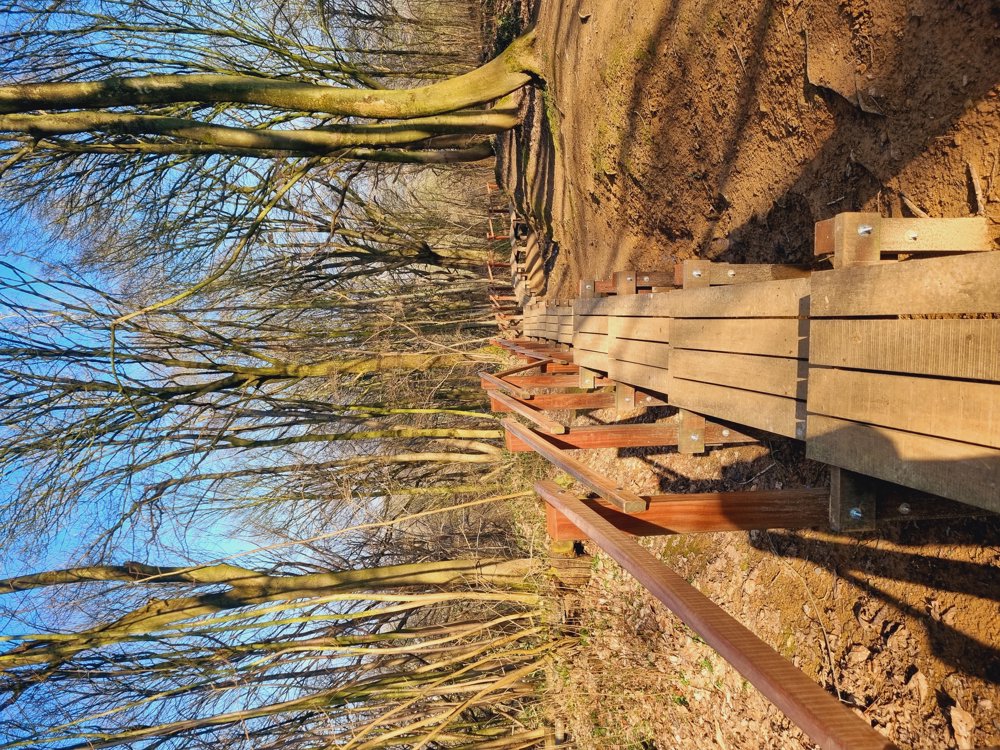
Discover during this walk the new wooden staircase on the Kemmelberg. It can occasionally be challenging due to the height.
Happy walking!
Sarah
automatic translation
 nodes to follow
0 km
0.5 km
0.6 km
0.9 km
1.2 km
1.4 km
1.7 km
2 km
2.1 km
2.7 km
3.1 km
3.5 km
4.1 km
4.3 km
4.5 km
5.1 km
5.3 km
5.5 km
Monday, June 2, 2025 by Y.D.super nice walk
automatic translation
Monday, June 2, 2025 by Sarah wandel.hike.belgiëThank you for your response😉
automatic translation
Sunday, May 18, 2025 by C.V.wonderful hike, the toughest part comes first, beautiful views, also a part shady , everything you expect from a hike.
automatic translation
Monday, June 2, 2025 by Sarah wandel.hike.belgiëThank you🙏
automatic translation
Sunday, April 6, 2025 by D.V.super beautiful hike! Enjoyed it with the three of us
automatic translation
Thursday, April 10, 2025 by Sarah wandel.hike.belgiëThank you for your response🙂 Greetings Sarah
automatic translation


 Upgrade to Premium Plus
