 Hiking
 Login
Login More
More EN
EN Premium
Woodland walk Everberg
automatic translation
7.5 km • Kortenberg
 official route
route offered by
 Addresse starting point (approximate)
Sint-Martinus en Lodewijkkerk, Annonciadenstraat, 3078 Everberg (Kortenberg)
 signage
The route is not signposted. Use a GPS device or our app to follow the route through the virtual nodes.
 Description
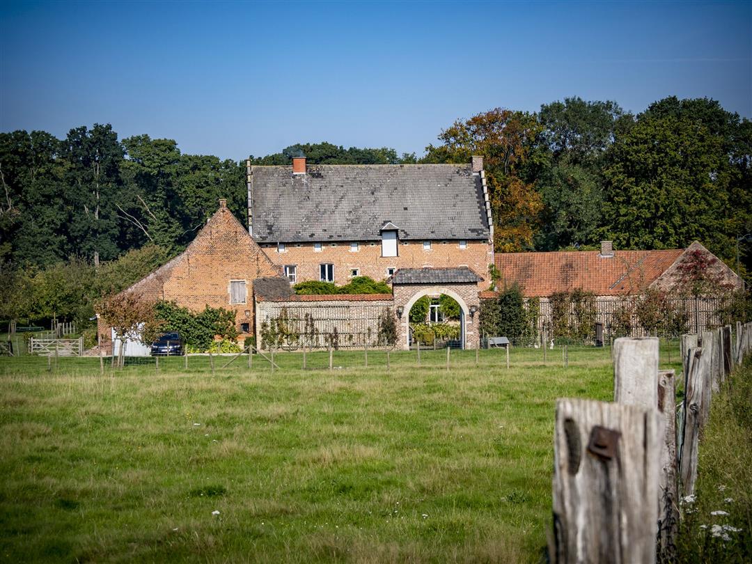
The Warande Walk takes you through rural Everberg, once a real principality, made great by the princes of Merode. The walk starts at St. Martin and Lodewijk Church and passes by the Biesthof and a handful of chapels. Stroll through the beautiful Warandebos to the park and the old abbey of Kortenberg. Finally, foot and field paths treat you to some fine views of Everberg.
NOTE: This is a hike on a virtual hiking network. The nodes are not signposted on the property. Follow the 6-sided red and white signs with the name of the hike.
This hike is offered by Tourism Flemish Brabant.
automatic translation
 nodes to follow
0 km
0.1 km
0.5 km
0.6 km
1.3 km
1.5 km
2.1 km
3.2 km
4.5 km
5.5 km
6.5 km
6.7 km
7.1 km
7.5 km
Thursday, December 5, 2019 by M.D.Nice hike, well marked, beautiful views, but.... almost all the time the noise of the highway as sound scenery. Too bad.
It was also very muddy now (early December). Fortunately it had been freezing, because otherwise we could have used quite a few boots.
automatic translation


 Upgrade to Premium Plus
