
 Hiking
 Login
Login
 More
More
 EN
EN
 Premium
Warandewandeling Everberg
7.5 km • Kortenberg
 official route
5.21410 2 3.5/5
route offered by

 Addresse starting point (approximate)
parking, Gemeentehuisstraat, 3078 Everberg (Kortenberg)
 signage
The route is signposted with thematic signs (no nodes). You can use a GPS device or our app to follow the route through the virtual nodes.
 Description
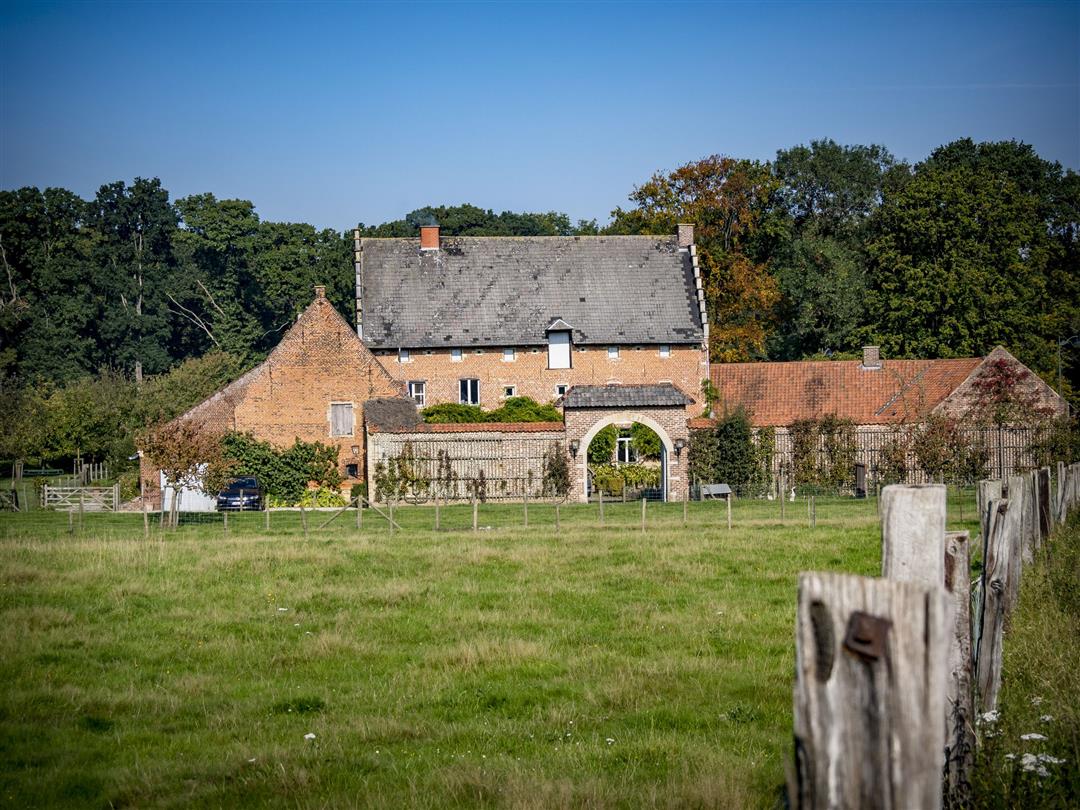
This walk takes you through rural Everberg, once a veritable principality made great by the Princes of Merode. The walk passes within a stone’s throw of their magnificent 18th-century castle and winds past the Biesthof and a handful of small chapels. Stroll through the beautiful Warandebos to the park and the old abbey of Kortenberg. Finally, footpaths and country roads treat you to some lovely views of Everberg.
Before you set out: This is a walk on a virtual hiking network. The junctions are not marked on the ground. Follow the hexagonal red-and-white signs bearing the name of the walk.
automatic translation
 nodes to follow
0 km
0.1 km
0.5 km
0.6 km
1.3 km
1.5 km
2.1 km
3.2 km
4.5 km
5.5 km
6.5 km
6.7 km
7.1 km
7.5 km
Sunday, January 25, 2026 by T.C.Nice walk with fields, woods, sunken roads... A little noise from the highway for 1/3 of the route. Some parts may be muddy.
automatic translation
Thursday, December 5, 2019 by M.D.Nice hike, well marked, beautiful views, but.... almost all the time the noise of the highway as sound scenery. Too bad.
It was also very muddy now (early December). Fortunately it had been freezing, because otherwise we could have used quite a few boots.
automatic translation



 Upgrade to Premium Plus


