 Hiking
 Login
Login
 More
More
 EN
EN
 Premium
Leenderbos and Tongelreep
automatic translation
11.5 km • Valkenswaard
1.1462 0 0/5

 Addresse starting point (approximate)
Brugseheide 6A, 5556 XW Valkenswaard, NL
 signage
The route is partially signposted with nodes. Use a GPS device or our app to follow the route.
 Description
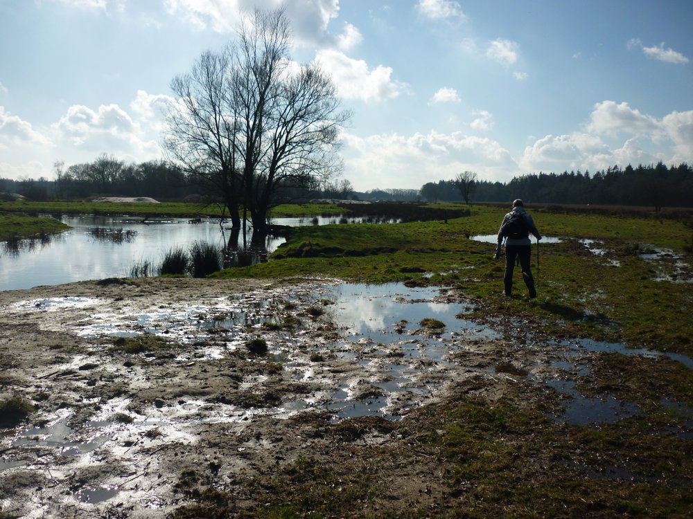
We took this walk on 26/02/2025
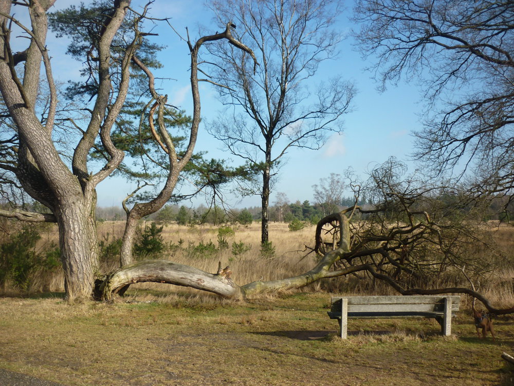
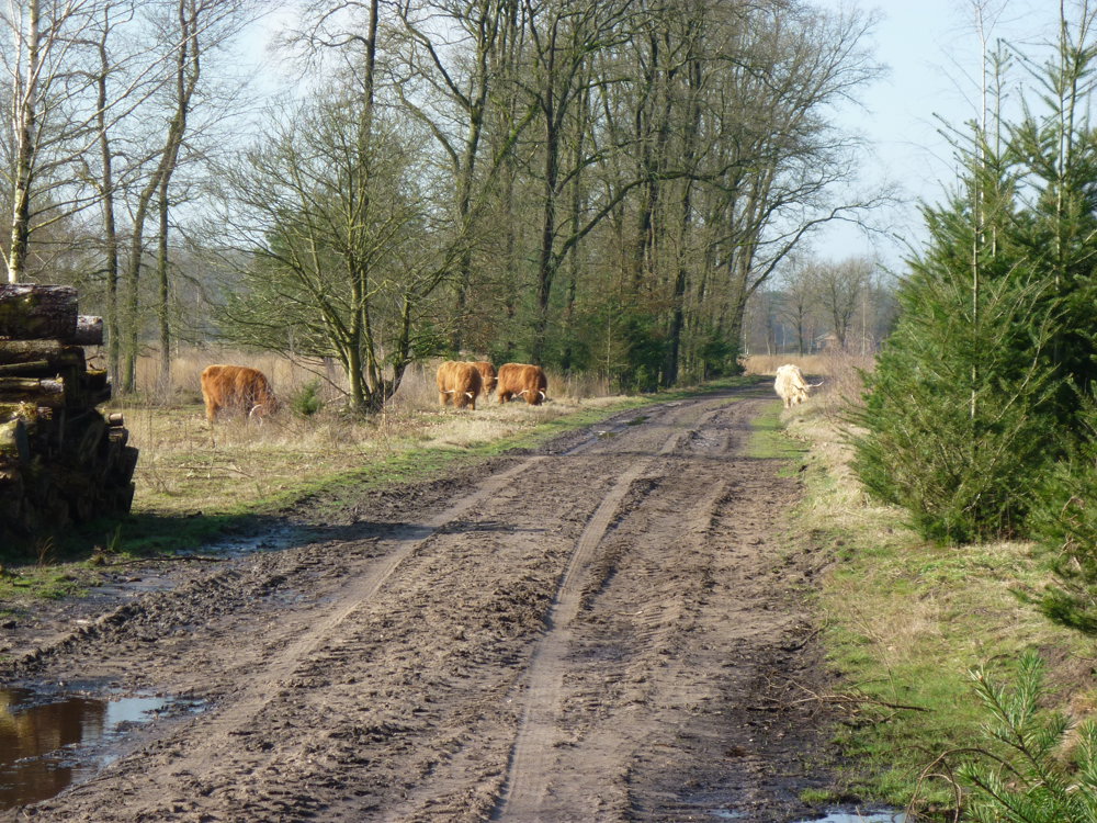
This is a beautiful nature walk, but due to potential flooding, boots or waterproof shoes are a must. The route takes you through the picturesque Leenderbos.
Until 1930, this was an extensive area with heathlands and sand drifts. The heath was no longer profitable and the area fell into decline. The Forestry Commission bought it and planted forests as part of employment projects. Thus, the Leenderbos was created, a typical production forest.
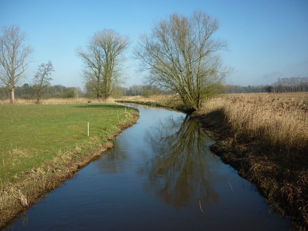
You also walk through the valley of the Tongelreep, a tributary of the Dommel that originates on the Kempisch Plateau near Erpekom, Belgium. In Belgium, this little river is called the Warmbeek and flows 25 km over Belgian territory.
More photos: https://photos.app.goo.gl/uwynVHss5yZ4NuTH8
Happy hiking,
Eddy, Rita, and Prinske
automatic translation
 nodes to follow
0 km

0.1 km
0.1 km
0.8 km
1.8 km
2.1 km
3.3 km
4.1 km
5.2 km
5.3 km
5.8 km
6 km
6.1 km
6.1 km
7.8 km
8.1 km
8.4 km
8.6 km
8.8 km
8.8 km
9.1 km
9.3 km
11 km
11.5 km


 Upgrade to Premium Plus
