 Hiking
 Login
Login
 More
More
 EN
EN
 Premium
Auto-pedestrian Dalheim
automatic translation
8 km • Dalheim
1280 0 0/5

 Addresse starting point (approximate)
Krautemergaass 6, 5686 Dalheim, LU
 signage
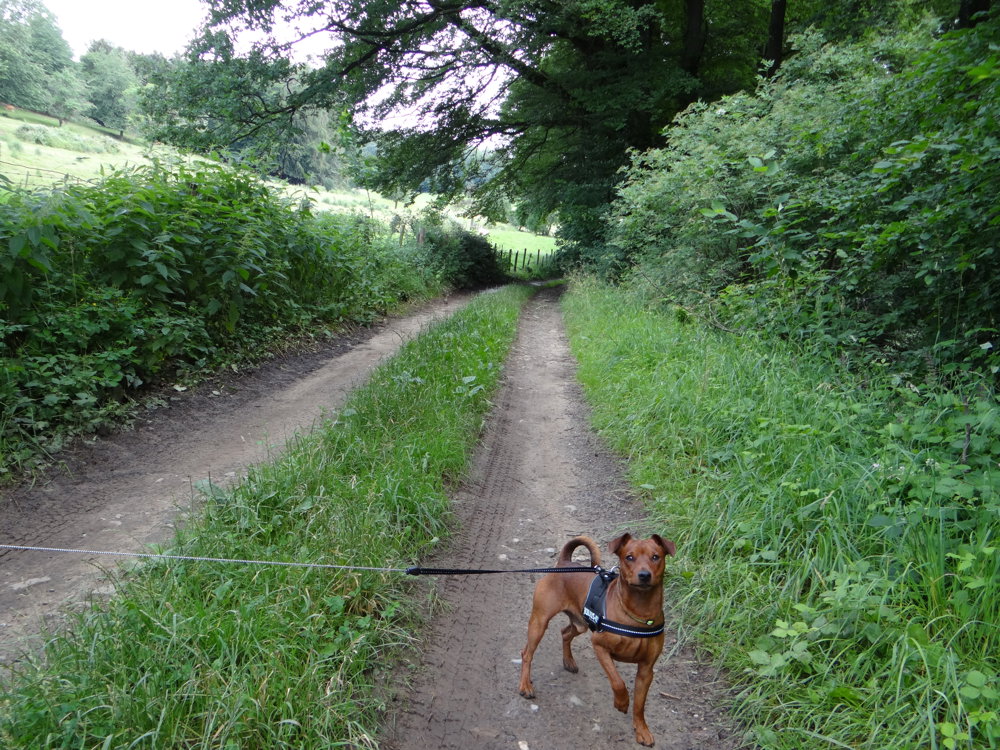
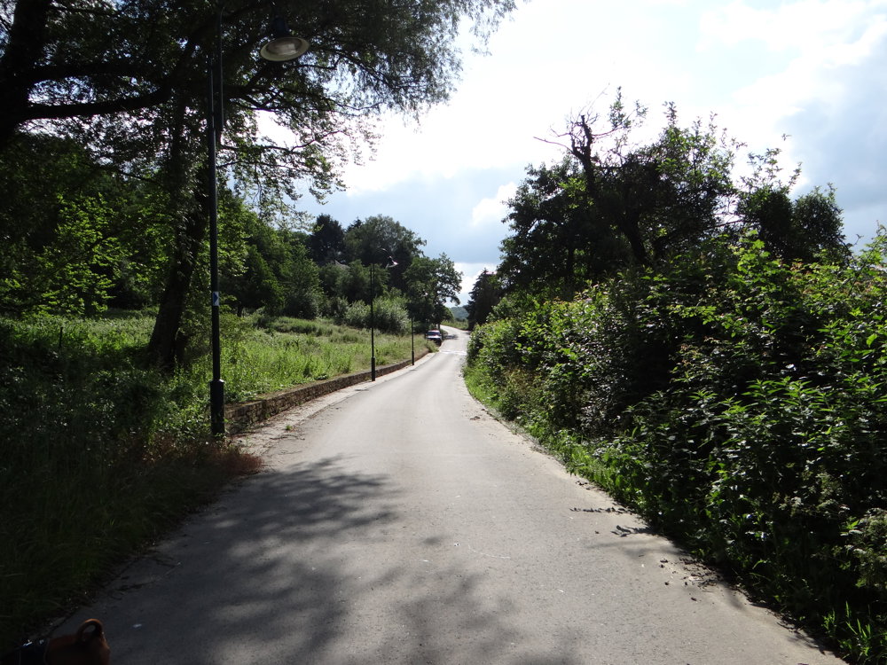
The route is fully signposted with thematic signs (no nodes).
 Description
Markings in two directions: blue diamond on white
The route leaves the village in a northerly direction, runs along the edge of the forest, and enters the shady 'Buchholz' forest. Then the route continues to the CR135, an ancient Roman road, which it follows for approximately 1 km (there is a milestone dating back to Hadrian, indicating the distance to Trier). The route follows the edge of the forest (there is a monument for Napoleon) and returns to the starting point.
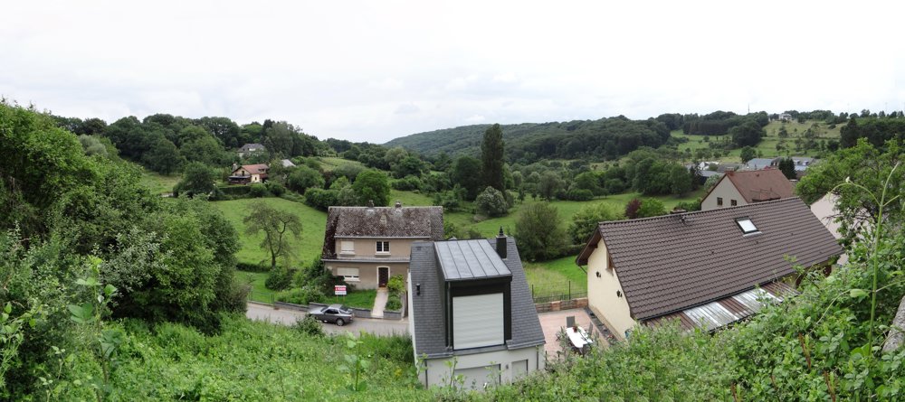
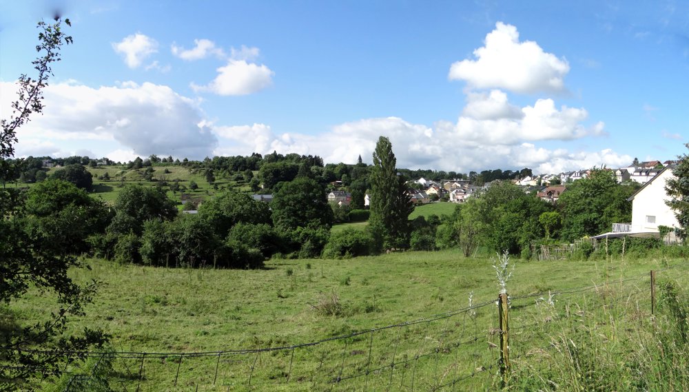
Dalheim is a small village near Mondorf and Remich, known for its significant excavations at the Roman site of Ricciacus, on the Dalheim-Filsdorf road. These excavations have revealed an important 'vicus', located on the Roman road linking Lyon to the Lower Rhine (1st-2nd century AD). The abundance and variety of items found here (a selection of which is on display at the National Museum in Luxembourg City) is astounding.
More photos: https://photos.app.goo.gl/Wp7nSFD8y6q9qHhG9
Happy hiking,
Eddy, Rita, and Prinske
automatic translation


 Upgrade to Premium Plus
