 Hiking
 Login
Login
 More
More
 EN
EN
 Premium
Auto-pedestrian Dahl
automatic translation
8.9 km • Goesdorf
1040 0 0/5

 Addresse starting point (approximate)
Kierchewee 2, 9644 Goesdorf, LU
 signage
The route is fully signposted with thematic signs (no nodes).
 Description
Markings in both directions: blue diamond on a white background.
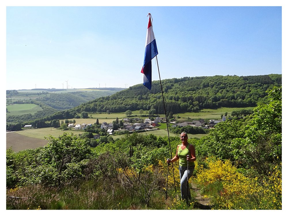
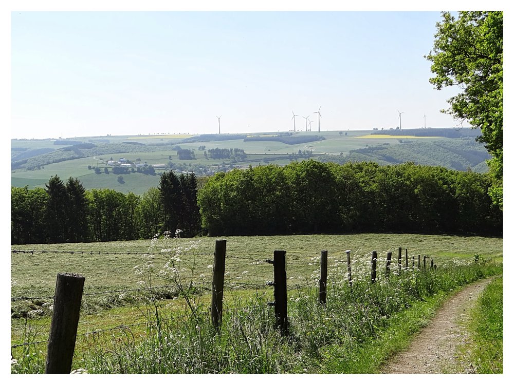
We park in the village. The road goes from the 'Dahlerplateau' to the 'Delerbaachtal', after which we go back up via the 'Dahl-Masseler' street, from where we have stunning views of the entire area.
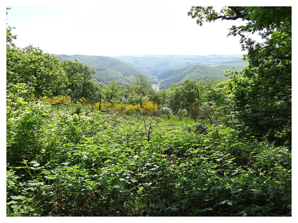
Then, the road goes back down through pine and beech plantations into the beautiful 'Nocherbaachtal', which we follow for about 1 km before going back up to arrive at the starting point.
More photos: https://photos.app.goo.gl/uUsoPD5BDEwhZXw16
Happy hiking,
Eddy, Rita, and Prinske
automatic translation


 Upgrade to Premium Plus
