
 Hiking
 Login
Login
 More
More
 EN
EN
 Premium
Werveldtwandeling
9.2 km • Lubbeek
 official route
2.4892 6 2.8/5
route offered by

 Addresse starting point (approximate)
Sint-Martinuskerk, Dorpskring, 3210 Lubbeek
 signage
The route is signposted with thematic signs (no nodes). You can use a GPS device or our app to follow the route through the virtual nodes.
 Description
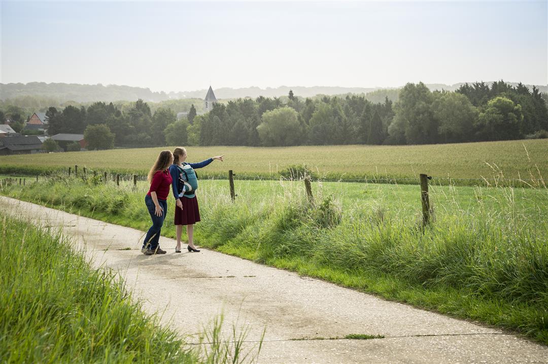
From the historic buildings of the Dorpskring, in the center of Lubbeek, you’ll walk into the rolling Hageland countryside. You’ll pass through sunken roads, sweeping farmlands, and fields flanked by forests on your way to the hamlet of Heide, which used to be called Werveldt. The imposing Herendaelhof has stood in this landscape since 1698; it is still an active farm with horse stables.
Before you set out: This is a walk on a virtual hiking network. The junctions are not marked on the ground. Follow the hexagonal red-and-white signs bearing the name of the walk.
automatic translation
 nodes to follow
0 km
1.7 km
2.4 km
2.5 km
3.2 km
3.9 km
4.6 km
5.3 km
5.8 km
5.9 km
7.1 km
8.1 km
8.5 km
9.1 km
9.2 km
Friday, January 31, 2025 by Pascal SienaertAlternated between open fields and residential areas, almost all the walk on paved roads; only small section of boggy forest. Signage in (Jan 2025) perfect!
automatic translation
Friday, July 9, 2021 by V.S.Too bad we didn't find the signs with Werveldtwandeling. So we did the heathland walk. Sometimes the signs were not visible, hidden behind greenery (ivy, branches...).
automatic translation
Sunday, August 30, 2020 by Peter WilsDeparting from downtown Lubbeek, you know you're not immediately in nature. And in this case it stays that way. You don't really walk through a forest, more along agricultural roads over concrete. But you do get to see beautiful views. For us something different, a good change from what we normally do. We finish with a pint on a terrace.
automatic translation
Wednesday, July 1, 2020 by K.D.Hikes absolutely did not meet the description. No hollow roads seen, and other than a 500 meter passage in the forest, hardly any forest seen (other than from a distance). All major roads, along neighborhoods and major streets, with very much passage of cars. You can't call this a restful hike.
automatic translation
Thursday, February 20, 2020 by Mia DehaesBeautiful hike indeed. Beautiful views. Quite a bit of "macadam," but we didn't mind that after all the rain and wind of the last few weeks.
One pole at Heath blown over, knocked over?
Last part not really nice, between the houses, but that's almost unavoidable in Lubbeek, I guess.
automatic translation
Sunday, January 19, 2020 by L.W.The signage is clear. Almost entirely on paved roads. That can be an advantage and a disadvantage. Unfortunately also a fair distance along busier streets. I would rather recommend the Quad Barn hike - close by.
automatic translation



 Upgrade to Premium Plus


