 Hiking
 Login
Login
 More
More
 EN
EN
 Premium
Border Walk De Weijerkens
automatic translation
11.7 km • Mol
1.2816 1 5/5

 Addresse starting point (approximate)
Witrijt 30, 5571 XH Bergeijk, NL
 signage
The route is fully signposted with nodes.

 Description
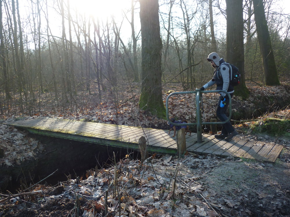
We did this walk on 02/18/2025.
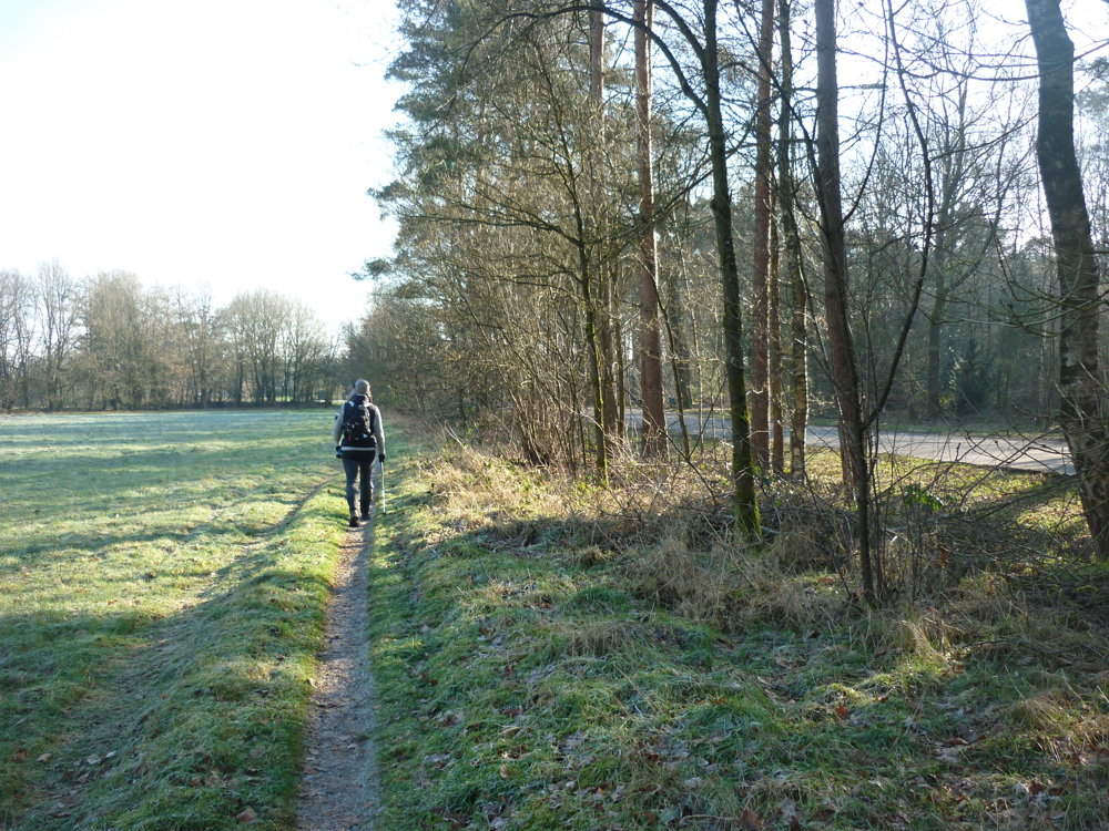
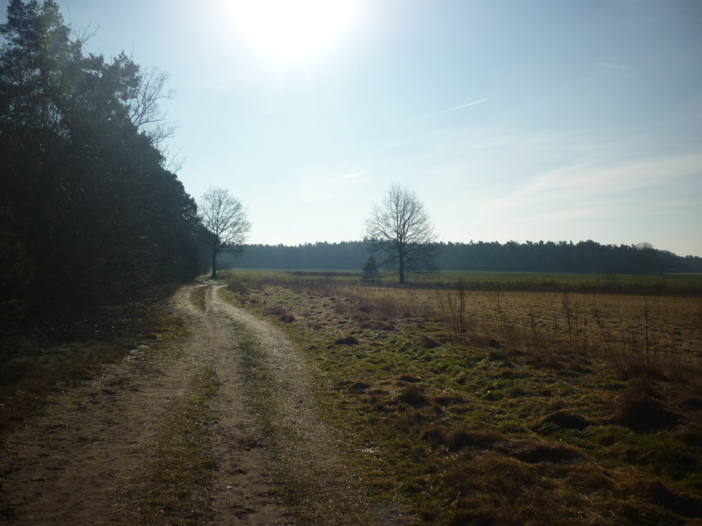
A beautiful nature walk that can start at the inn 'Het Wilde Zwijn'. There is a large parking lot available for hikers. The route goes mainly through forests, heathlands, fields, and here and there a strip of paved road.
What more can we say? Put on your walking shoes and go!
More photos: https://photos.app.goo.gl/aLKNRgBtEgCfJ3Zu9
Enjoy your walk,
Eddy, Rita, and Prinske
automatic translation
 nodes to follow
0 km
0.1 km
0.3 km
0.4 km
1.5 km
2.6 km
3.6 km
3.9 km
5.9 km
6.1 km
7.4 km
8 km
8.9 km
9.2 km
10.2 km
10.8 km
11.4 km
11.5 km
11.6 km
11.7 km
Friday, August 22, 2025 by Mr & Mrs AertskeEnjoyed this wonderful walk and the delicious fresh soup in the wonderful establishment Inn in the Wild Boar. Thank you Eddy Rita and Prinske for sharing this. 🫶🙏🐶
automatic translation
Sunday, August 31, 2025 by Eddy & RitaShared with pleasure! Thank you for this nice comment. Have a great time hiking!
automatic translation


 Upgrade to Premium Plus
