 Hiking
 Login
Login
 More
More
 EN
EN
 Premium
Herisemwandeling
6.7 km • Beersel
 official route
2.7845 5 3.5/5
route offered by
 Addresse starting point (approximate)
Parking Bibliotheek/Sint-Victor, Alsembergsesteenweg, 1652 Alsemberg (Beersel)
 signage
The route is signposted with thematic signs (no nodes). You can use a GPS device or our app to follow the route through the virtual nodes.
 Description
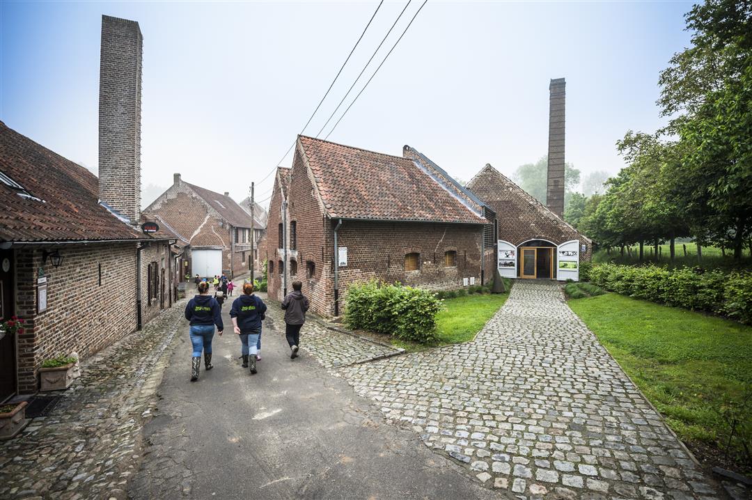
The Herisem walk takes you past the monumental Onze-Lieve-Vrouwe of Beersel, among many other places. Along the way you get the opportunity to visit the Herisem Mill, a fine example of the once flourishing paper and cardboard industry in Flemish Brabant. Furthermore, a view of the Molenbeek valley can also be enjoyed. This walk is signposted with hexagonal signs called the Herisem walk.
automatic translation
 nodes to follow
0 km
0.5 km
2.8 km
4.3 km
6 km
6.7 km
Friday, July 11, 2025 by Susan Mclennanmarkings unclear. not a fan of this trail.
Monday, January 27, 2025 by P.T.Very nice hike..do wear good walking shoes..start at colruyt store....
automatic translation
Saturday, July 3, 2021 by R.V.Really nothing else to show in Beersel ?? The signs are as good as tucked away and only with that you lose a lot of time. A large part runs on paved roads a.o. through the (ugly) Alsemberg ( does anyone think Colruyt is a landmark ?) and when you get on a piece of dirt road it is half closed because of works. Worthless
automatic translation
Sunday, March 21, 2021 by Michel VMTop hike ! Well marked (start opposite Wok City)
automatic translation
Sunday, July 26, 2020 by rony deroofantastic beautiful hike along a hilly trail through small roads and streets and past old sites , not easy but definitely recommended for other hikers definitely worth 5 stars
automatic translation


 Upgrade to Premium Plus
