 Hiking
 Login
Login
 More
More
 EN
EN
 Premium
Auto-pedestrian Bettendorf
automatic translation
11.8 km • Bettendorf
3091 1 5/5

 Addresse starting point (approximate)
Rue Neuve 1, 9353 Bettendorf, LU
 signage
The route is fully signposted with thematic signs (no nodes).


 Description
Markings in both directions: blue diamond on white background
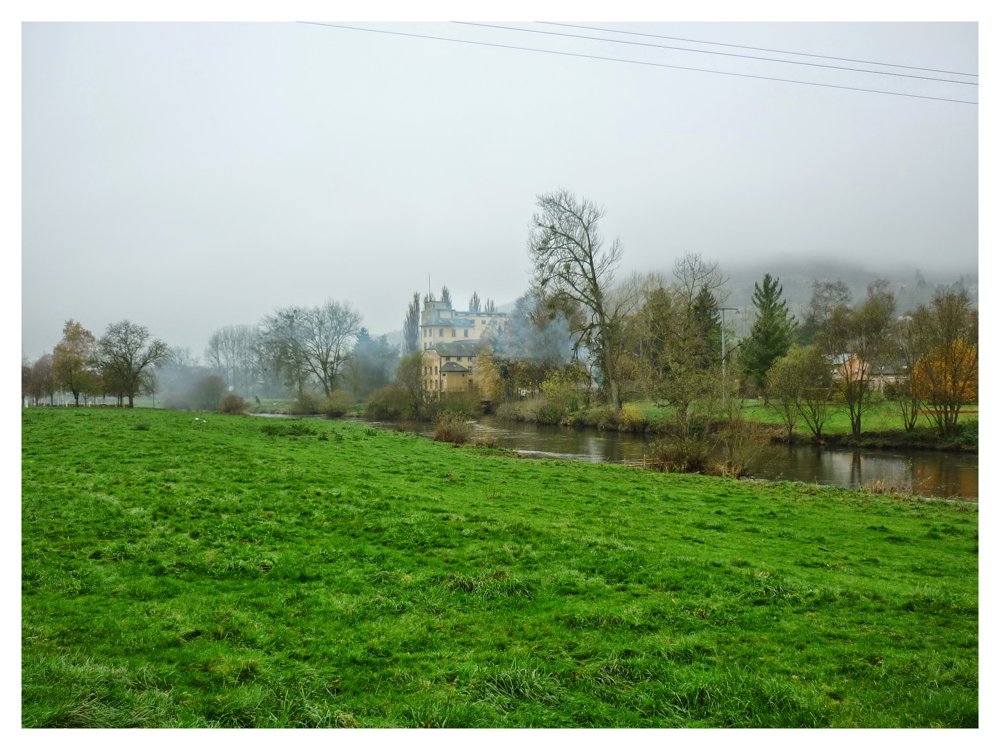
The Auto-Pédestre Bettendorf starts in the village center and heads towards Moestroff, then returns through the forest. Bettendorf has been inhabited since Gallo-Roman times, including by the Rhine Franks. A descendant of this people, a certain Betto, gave the place its name.
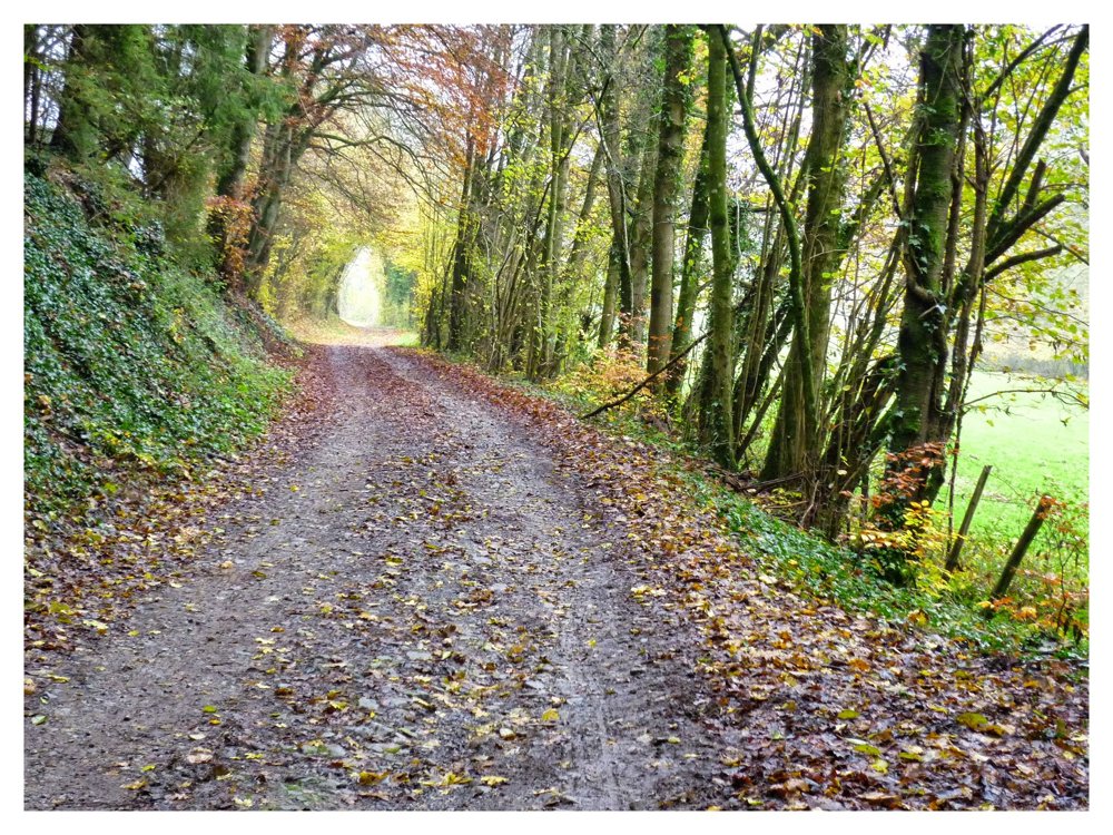
In the Middle Ages, the village had two castles; one was destroyed and on the ruins of the other now stands a baroque castle. The route first follows the bike path along the Sûre to Moestroff, then climbs steeply to ascend the Schoofsbierg. You pass the Hirzenhaff and the Gemengebësch.
Just before the village entrance, there is a memorial stone for the 10th US Infantry Regiment. During the Battle of the Bulge, the Sauer Valley was heavily contested. On January 10, 1945, American soldiers successfully crossed the Sûre, a strategically important maneuver.
More photos: https://photos.app.goo.gl/vm6mvC2E5VRWByCM6
Enjoy your walk,
Eddy, Rita, and Prinske
automatic translation
Saturday, July 5, 2025 by Anita Laureyssenwalked today. Beautiful hike with lots of variety. quiet roads, asphalt and forest road. beautiful views, narrow forest roads,rocks. really worth it
automatic translation
Sunday, July 6, 2025 by Eddy & RitaThank you so much for this beautiful response!
automatic translation


 Upgrade to Premium Plus
