 Hiking
 Login
Login
 More
More
 EN
EN
 Premium
Halewijnwandeling
11.6 km • Zoutleeuw
 official route
12.18312 3 4.3/5
route offered by
 Addresse starting point (approximate)
Provinciedomein Het Vinne, Ossenwegstraat 70, 3440 Zoutleeuw
 signage
The route is fully signposted with nodes.
 Description
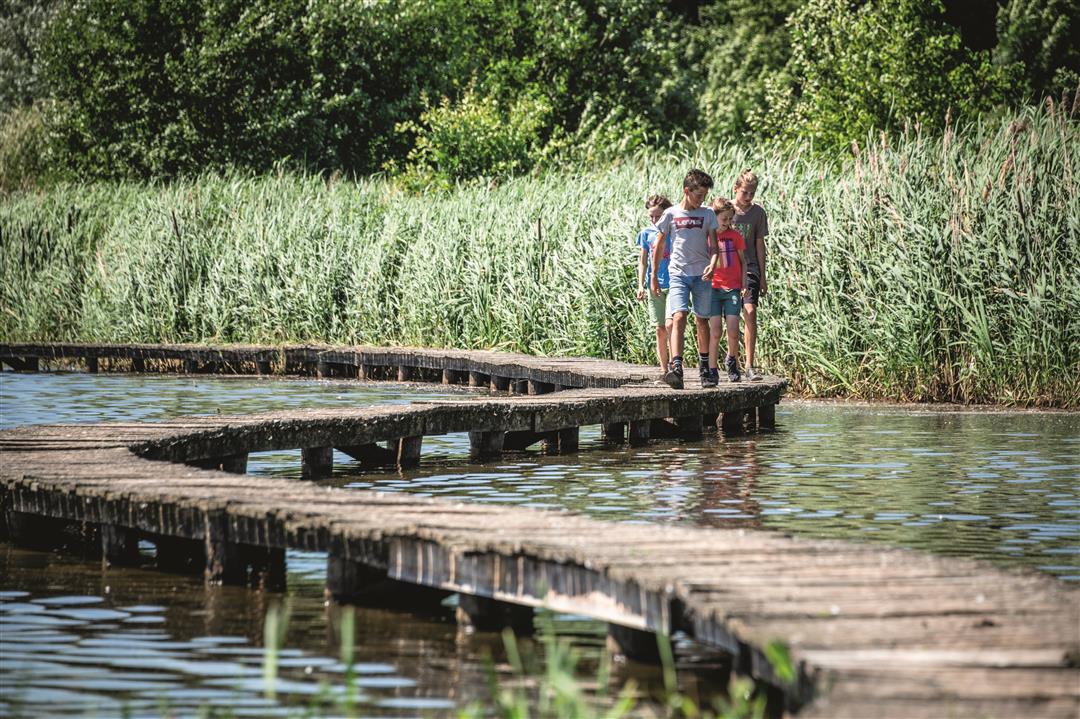
A walk through centuries of history and the stunning natural beauty of Zoutleeuw. You’ll walk all the way around Lake Vinnemeer, the largest natural inland lake in Flanders. Along boardwalks, observation huts, and lookout towers, you’ll discover the enormous diversity of aquatic flora and fauna. The route continues along the IJzerenweg toward Zoutleeuw’s Grote Markt, a gem featuring the Gothic town hall, the Lakenhalle, and St. Leonard’s Church.
automatic translation
 nodes to follow
0 km
0.1 km
0.6 km
1.2 km
2.2 km
2.8 km
3.2 km
4.6 km
5.9 km
6.1 km
6.5 km
6.7 km
7.1 km
7.7 km
8.1 km
9.2 km
9.5 km
10.3 km
10.5 km
11.5 km
11.5 km
Monday, May 5, 2025 by Philippe RamakersVery nice hike with lots of variety.
automatic translation
Friday, April 16, 2021 by G.V.Very nice, quiet and varied hike, mostly along unpaved roads. Well signposted with junctions. Beautiful views of Het Vinne, orchards and you also come into the lovely center of Zoutleeuw. Along the way some bird-watching huts and benches for picnics. At start and finish a toilet and playground. Really enjoyed it!
automatic translation
Sunday, November 8, 2020 by J.M.Very nice and quiet walk in a beautiful natural environment and along the beautiful center of Zoutleeuw. Recreation domain 'Het Vinne' was dry (8/11/2020) due to works. From Easter 2021 there would be water again in this large pond. I really enjoyed it. This hike provides plenty of resting places (wooden benches).
automatic translation


 Upgrade to Premium Plus
