 Hiking
 Login
Login
 More
More
 EN
EN
 Premium
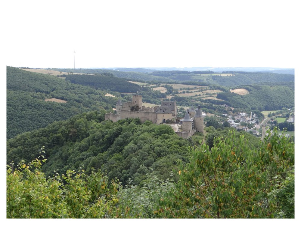
Bourscheid: mighty views
automatic translation
12.9 km • Bourscheid
3281 0 0/5

 Addresse starting point (approximate)
Um Kräizkapp 1, 9140 Bourscheid, LU
 signage
The route is not signposted. Use a GPS device or our app to follow the route.
 Description
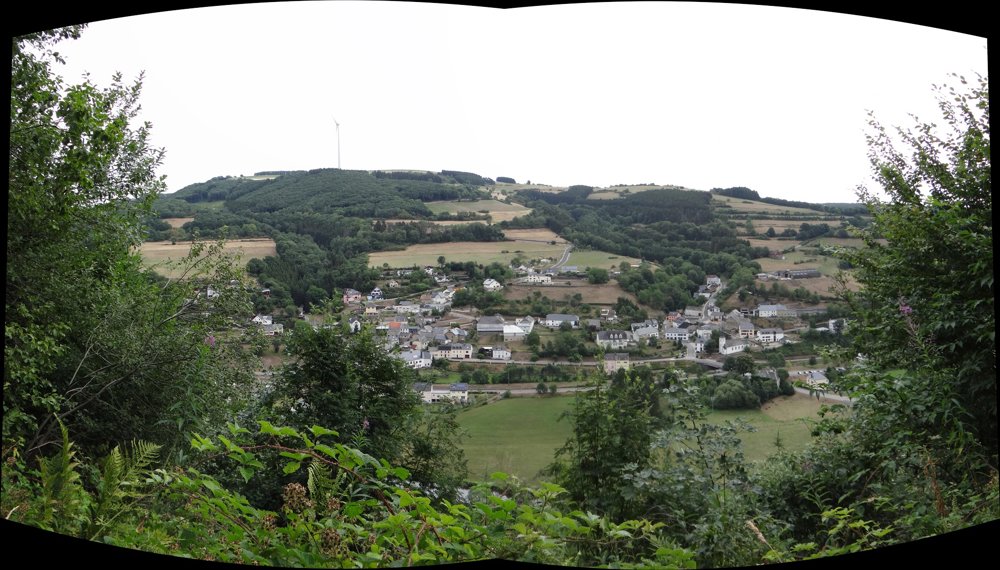
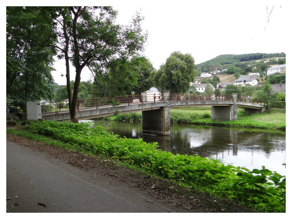
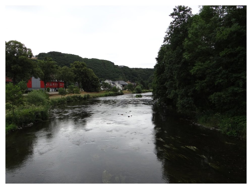
This beautiful walk can be started at the church or the castle of 'Bourscheid'. Departure is also possible at the 'Michelau' station. We started at the church, went counterclockwise, and descended into the 'Sûre' valley.
During the descent, you get a lovely view of the village of 'Michelau', situated by the riverbank. After 'Michelau', you can only continue uphill to then make a steep descent to the 'Bourscheid-Moulin' campsite, after which you ascend again to 'Bourscheid'.
Challenging walk with beautiful panoramas.
More photos: https://photos.app.goo.gl/n5vqadfL5rszHYKY8
Happy hiking,
Eddy, Rita, and Prinske
automatic translation


 Upgrade to Premium Plus
