 Hiking
 Login
Login
 More
More
 EN
EN
 Premium
Linterse wandeling
10 km • Linter
 official route
2.2355 3 2.8/5
route offered by
 Addresse starting point (approximate)
Stationsplein, 3350 Drieslinter (Linter)
 signage
The route is fully signposted with nodes.
 Description
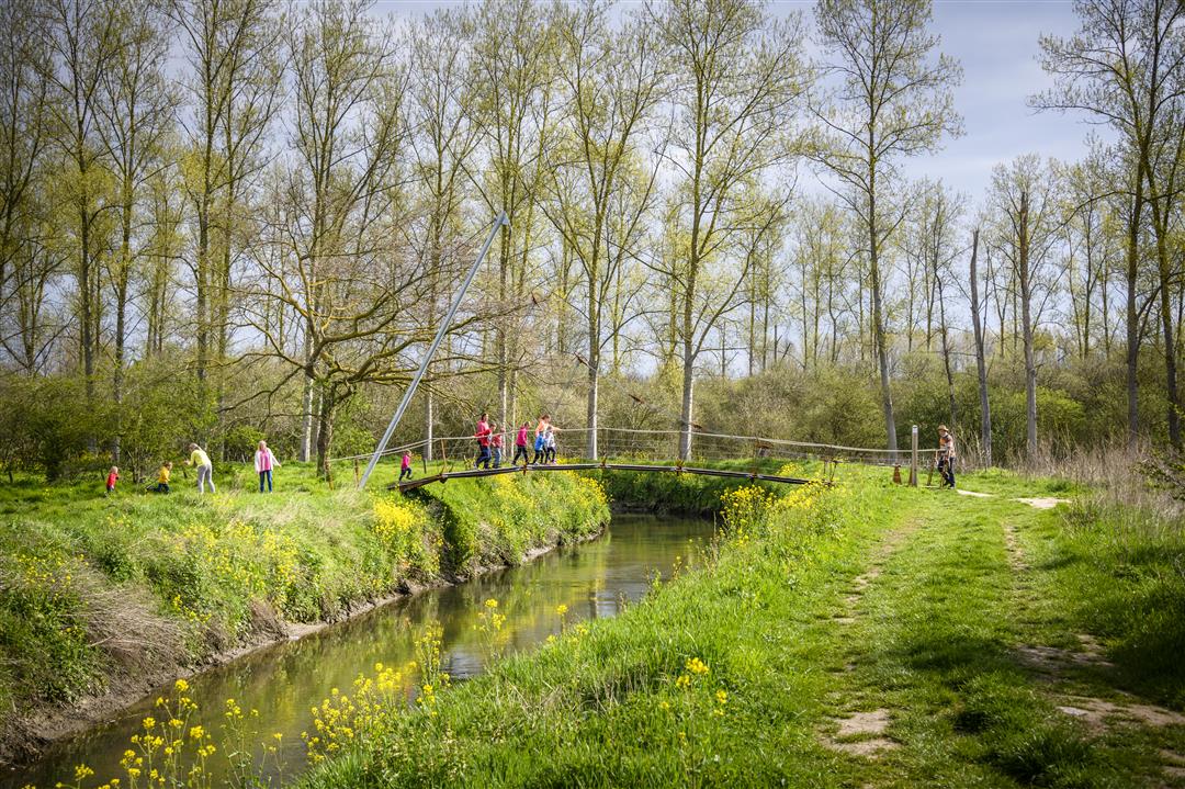
This hike takes you from Drieslinter to Neerlinter and back, through the marshy trails of the Gete Valley. You’ll arrive at the Grote Gekte camping and picnic area, where the Houten Reus observation tower rises ten meters above the landscape. The Golden Geet takes you across the Gete on a wobbly bridge. You’ll come face to face with the Getedraak—a climbing structure—and walk through the Doysbroek nature reserve. A few historic buildings, such as the Geensmolen and Neerlinter Castle, round out the walk perfectly.
automatic translation
 nodes to follow
0 km
0.1 km
1 km
1.1 km
1.6 km
1.9 km
2 km
3 km
3.2 km
3.5 km
4.2 km
5.5 km
6.1 km
6.4 km
7.3 km
7.7 km
7.8 km
8.7 km
8.7 km
9.2 km
9.3 km
9.9 km
10 km
Friday, August 18, 2023 by V.M.Then they may yet maintain the walking path. Looks disgraceful. Path in many places just almost completely overgrown. Never experienced such a poorly maintained hike! Went hiking on the bike path because it just wasn't fun. May not mow there is never mow there!
automatic translation
Saturday, June 6, 2020 by Peter WilsBeautiful walk through natural area near the Gete. The paths through the meadows are mowed nice and wide. The gravel path along the Gete provides much needed variety. Original bridge! Interesting info signs next to the former railroad track which now serves as a bike path. And for the young at heart there is the adventure trail, there you go in search of the salamander. Now and then there are panoramic views and then suddenly you are in an orchard again. A tour full of variety and surprises. Beautiful!
Note: point 101 is on the route 4 times! Some chatting, looking around ... and then you lose the trail, which happened to us. Why don't they give the nodes a unique number ?
automatic translation
Saturday, September 21, 2019 by M.D.Wonderful hike. Very well marked. Very quiet. Didn't notice much sogginess. It has been a very dry summer.
At point 104 a lovely little terrace with nice drinks, a cute, happy child and a 'landlord' with an eye for the beautiful surroundings!
automatic translation


 Upgrade to Premium Plus
