 Hiking
 Login
Login
 More
More
 EN
EN
 Premium
Auto-Pedestrian Esch-sur-Sûre
automatic translation
9.6 km • Esch-sur-Sûre
2050 0 0/5

 Addresse starting point (approximate)
Rue Des Jardins 3, 9650 Esch-sur-Sûre, LU
 signage
The route is fully signposted with thematic signs (no nodes).
 Description
Markings in both directions: blue diamond on white background
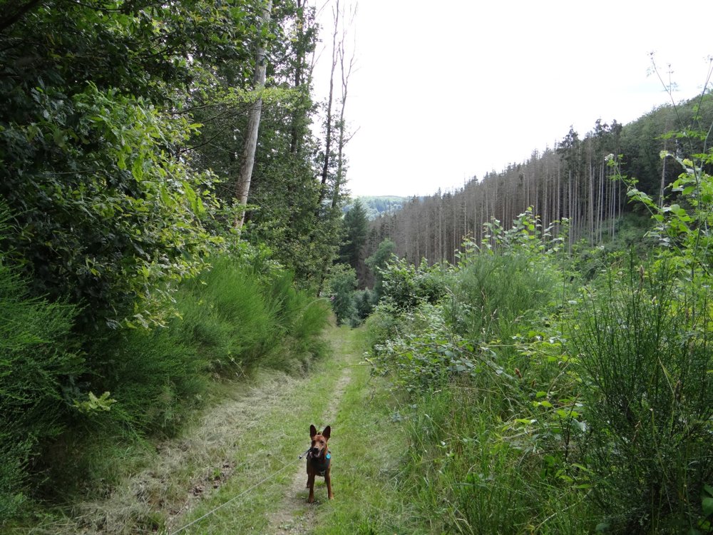
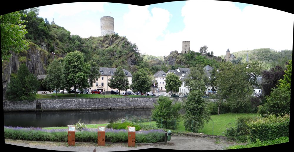
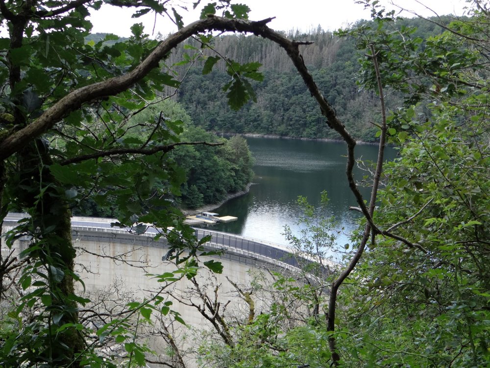
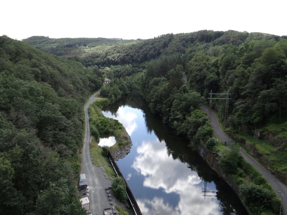
The Auto-Pédestre Esch-sur-Sûre walk starts at a parking lot outside the village and leads along the banks of the Sûre, through the picturesque little village and to the impressive 47-meter-high arch dam.
Then you walk through wooded hills around the Upper-Sûre reservoir, with beautiful views. The route goes almost to Kaundorf and then returns to Esch-sur-Sûre, passing the ruins of the medieval castle, back to the starting point.
It is a beautiful combination of nature and history, ideal for an adventurous walk.
More photos: https://photos.app.goo.gl/nMsEwVvfRcgaHN8b7
Happy hiking,
Eddy, Rita and Prinske
automatic translation


 Upgrade to Premium Plus
